Category Archives: Accessories
Switzerland: Kรผmmerly + Frey 60K Cycling Maps
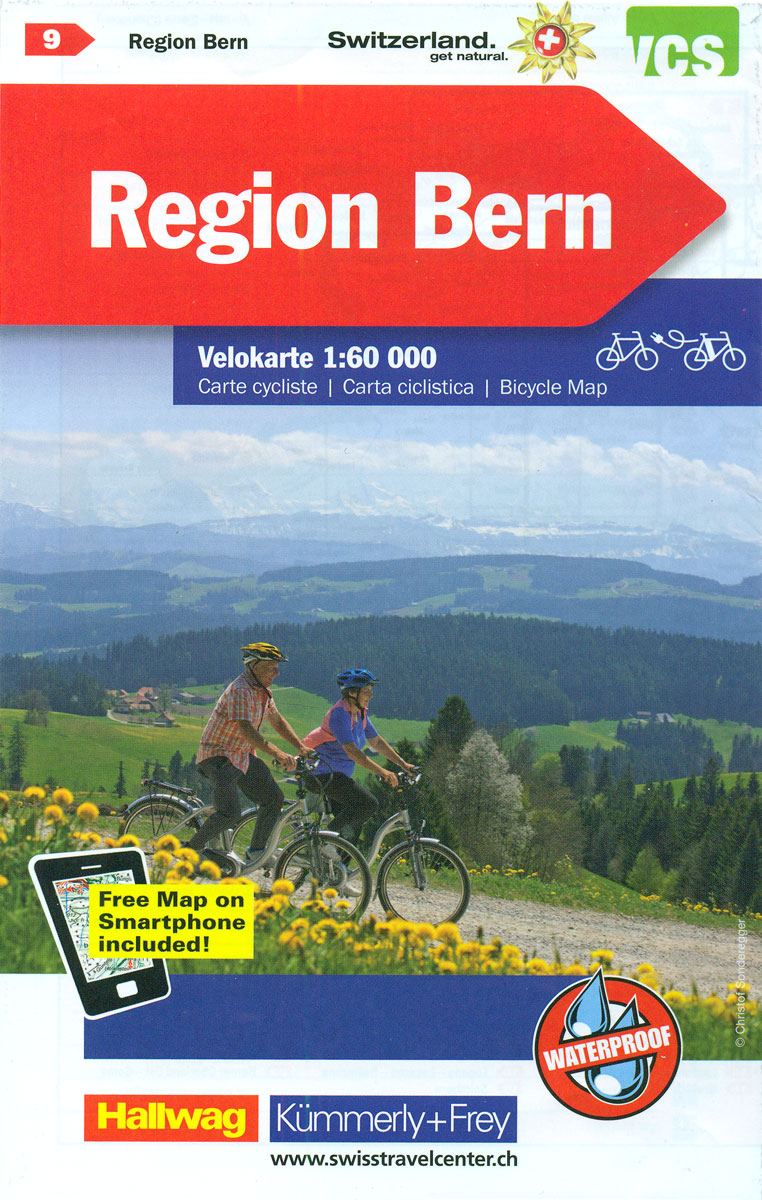
Maps with the official โ€Cycling in Switzerlandโ€ routes, published in co-operation with the Association for Transport and Environment. The aim of the series is to present a network of routes with as few problems as possible caused by motor traffic. The maps have a detailed base, with contours plus graphic relief and shading providing an
Spain: Michelin Regional Road Maps

Spain on nine indexed regional touring maps from Michelin at scales from 1:400,000 to 1:140,000, with street plans of main cities, distance/driving times tables, and cross-referencing to the publishersโ€ Red Guide to hotels and restaurants. Topography is indicated by bold relief shading with spot heights and colouring for forested areas. Detailed road information, characteristic of
Switzerland: Kรผmmerly + Frey 120K Holiday Maps
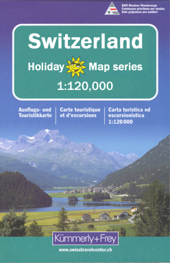
Switzerlandโ€s four main hiking areas: Bernese Oberland, Valais/Wallis, Graubรผnden with the Engadine Valleys, and the canton of Ticino on contoured and GPS compatible maps at 1:120,000 from Kรผmmerly + Frey, excellent for planning walking holidays. The maps have contours at 100-metre intervals, enhanced by shading and graphic relief to provide a vivid presentation of the
Norway: Turkart 100K Topographic Hiking Maps

Norwayโ€s popular hiking areas in a series of GPS compatible recreational Turkart maps at 1:100,000 with cartography from the countryโ€s 50K topographic survey and additional tourist information. Contours lines are drawn at 20m intervals. The overprint varies from title to title but includes local footpaths, in some cases distinguishing between easy and more difficult trails,
Switzerland: Kรผmmerly + Frey 60K Walking Maps
Kรผmmerly + Freyโ€s hiking series of Switzerland at 1:60,000, with most titles now printed on light, waterproof and tear-resistant plastic paper, offers a popular alternative to Swiss survey maps and cartography which many walkers find easier to follow.Coverage of the whole country is designed so that each title presents a popular hiking area. The maps
Norway: Cappelen Regional Road Maps
Norway on regional touring maps from Cappelen presenting at 1:335,000 the southern half of the country, with northern Norway covered at 1:400,000/410,000; plus towns maps and/or enlargements for popular tourist areas including Jotunheimen, the environs of Bergen, etc.Topography is presented by relief shading with numerous spot heights and names of various mountain ranges, peaks, valley,
Sweden: Norstedts Regional Road Maps
Touring maps of Sweden produced in cooperation with the countryโ€s national survey organization. Central and southern Sweden is covered at 1:250,000, with the north at 1:400,000. Spot heights and relief colouring in mountainous areas present the terrain. The maps also distinguish between forested and open areas, and show marshes and glaciers. Detailed road classification includes
Finland: Karttakeskus 250/400K GT Road Maps

Finland on four double-sided road maps from Karttakeskus, the countryโ€s national survey organization, with both topographic and extensive tourist information, including hotels, campsites, youth hostels, etc. The southern part of the country is covered at 1:250,000, with the north at 1:400,000.Road classification ranges from dual carriageways to unsurfaced tracks and privately maintained roads, indicating the
Italy: LAC Provincial Road Maps

Italy on handy size road maps from Litografia Artistica Cartografica (LAC), each covering an administrative province, with more minor local roads and tracks than can be found on most regional maps. The series is gradually being changed to a new style of digitally derived cartography, so presentation of adjoining titles may vary.*All the maps* have
Iceland: Topographic Hiking and Tourist Maps
Icelandโ€s most visited areas on special detailed, GPS compatible recreational and touring maps with cartography from the countryโ€s topographic survey, highlighting hiking paths, bridleways, tourist accommodation, etc.The maps are contoured, (usually at 20m intervals) and carry all the information expected of topographic maps at such scales, including, where appropriate types of vegetation and terrain, details
Germany: Lower Saxony 50/40K Topographic Survey Leisure Maps
Detailed maps of selected areas of Lower Saxony, with cartography of the German topographic survey. Overprint highlights numerous hiking paths, including those suitable for wheelchairs, and cycling routes, indicating their waymarking. Road network is also annotated with symbols showing various sightseeing routes.An extensive range of symbols mark different types of accommodation, sport and leisure facilities,
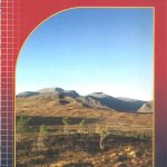
South Africa: 50K Hiking Maps of the Drakensberg Mountains
Drakensberg Mountains on a series of six contoured and GPS compatible maps at 1:50,000 from the Kwazulu Natal Nature Conservation Service, highlighting hiking routes, entry points and restriction zones, locations of caves, accommodations facilities, etc, plus on the reverse drawings of the local flora and fauna, and other tourist information.A satellite image of the area,
Italy: IGC 25K Walking Maps of the Italian Alps

Italian Alps at 1:25,000 in a series of contoured, GPS compatible walking maps from the Turin based Istituto Geografico Centrale, highlighting hiking trails including long-distance routes, ski routes and alpine accommodation. The maps have contours at 25m intervals, enhanced by shading and graphic relief for very clear presentation of the terrain. An overprint highlights local
Netherlands: 50K Topographic Survey Maps
Kadaster, Holland`s national survey organization, produces one of the most attractive topographic surveys in Europe. The maps are very colourful, with their characteristic patchwork of polders and an unusually large amount of land use information: meadows, arable land, different types of forest, marshes, sand dunes, etc. Contours are shown at 5-metre intervals with numerous spot
Italy: IGC 50K Walking Maps of North-Western Italy
Italian Alps and Piedmont, the lakes and northern Lombardy, and the Italian Riviera at 1:50,000 from the Turin based Istituto Geografico Centrale on contoured hiking maps with local trails, long-distance footpaths, mountain accommodation, etc.The maps have contours at 50m intervals, enhanced by shading and graphic relief. An overprint highlights local footpaths and long-distance routes, including
USA: Earthwalk Press Hiking Maps
Hiking areas mainly in the western USA on detailed, contoured maps from Earthwalk Press with cartography based on the USGS topographic survey of the country plus additional information for visitors, printed on light, waterproof and tear-resistant synthetic paper.Contour interval is usually 40 feet and all heights are also given in feet. Colouring shows forested areas,
Portugal: Turinta Regional Road Maps
Portugal on a series of detailed, indexed touring maps from Turinta, the countryโ€s leading map publishers, each with street plans of main towns. The maps show the road and rail networks on a base with altitude colouring and highlight various places of interest and facilities. Cartography varies slightly according to the map scale – *please
Spain: Editorial Alpina Walking Maps
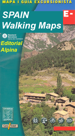
Extensive and very popular series of walking maps from Editorial Alpina covering the Pyrenees, Catalonia and other selected hiking areas in Spain, including Picos de Europa, Sierra Nevada and parts of Andalucรญa, Majorca, etc. Scales vary from 1:50,000 to 1:10,000, with the majority of the titles at 1:25,000. The maps have contours, usually at 20m
Italy: Ed. Multigraphic 100K Road Maps of Tuscany & Adjoining Areas
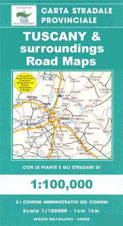
Local road maps based on the Italian topographic survey, with more place names than on other map series, especially of natural features such as mountains, mountain passes, etc. Although most maps have a contoured base, this does not always offer the presentation of the terrain expected of such cartography. The maps do show more minor
Italy: Edizioni Multigraphic 25K Walking Maps of Central Italy
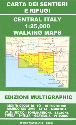
Walking maps covering the Ligurian Alps and the coast, the crest of the Apennines along the border of Tuscany with its neighbouring regions, and parts of Tuscany itself. Most maps have contours at 25-metre intervals, with colouring for forests and some relief shading. The cartography is rather old fashioned and sometimes not as clear as