Category Archives: Accessories
Italy: Tabacco 50K Walking Maps of the Dolomites and North-Easterm Italy
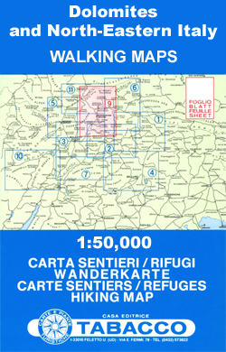
The Dolomites on hiking maps at 1:50,000 from Tabacco, with contours at 50m intervals, shading and graphic relief. An overprint highlights local footpaths, including the high level long-distance routes (Alte Vie), indicating difficult sections. The maps also show the โ€via ferrataโ€ paths along the iron rails and ladders fitted into the rock faces during the
Slovenia: Alpine Club 50K and 25K Hiking Maps
Sloveniaโ€s popular hiking regions at 1:50,000 or 1:25,000 on contoured, GPS compatible recreational maps from Planinska zveza Slovenie – Slovenian Alpine Club, with most titles also providing details of accommodation.Titles at 1:50,000 have contours at 20m intervals with shading and graphic relief in the mountainous areas. An overprint highlights local hiking paths, indicating difficult sections.
France: FFRP Topo-guides to Long-distance Footpaths
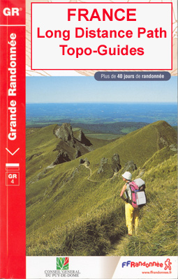
Light, high quality A5 paperback guides from the FFRP – the Fรฉdรฉration Franรงaise de la Randonnรฉe Pรฉdestre, to the long-distance GR hiking trails, with colour extracts from IGN`s 1:50,000 or 1:25,000 topographic survey maps overprinted with the route, plus a table indicating different facilities along the route, contact details for accommodation, etc.The GRs, Sentiers de
South Africa: 250K Topographic Survey Maps

South Africaโ€s official topographic survey at 1:250,000 from the countryโ€s national survey organization, the Chief Directorate of Surveys and Mapping. The maps have altitude colouring and contours at 50m or 100m intervals, depending on the map edition, plus spot heights. Deserts, marshes, dry pans, perennial and seasonal water features, etc, as well as protected areas
France: FFRP Topo-guides with Day Walks
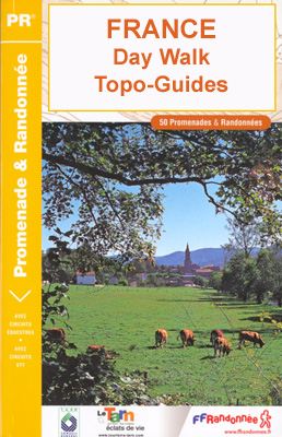
FFRP topo-guides, an extensive series of light, A5-size, high quality, paperback *French language* map/guides with colour extracts from the French topographic survey at 1:25,000 or 1:50,000, or street maps if appropriate, overprinted with local hiking routes. Each guide offers a selection of day walks of different length and difficulty of terrain, all clearly graded. Several
Great Britain: Speede County Maps of Great Britain
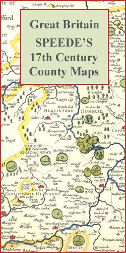
Colour reproductions of attractive county maps by John Speede from about 1610-1611, printed on thick art paper and ideal for framing. Each title, 58 x 45cm / approx. 23โ€ x 18โ€, is decorated with additional notes, drawings, coats of arms, street plans, etc.Little drawings are used to show locations of towns, larger villages, hills and
Belgium/France: World War I Trench Maps of the Western Front

British Army trench maps from the WWI, reproduced by G.H. Smith & Son at approximately 7/10th of the original scales quoted against each title. The maps show both the British and the enemy trenches. Several of the maps also indicate supply and ammunition dumps, machine gun and trench mortar emplacements, observation posts, etc.Most titles are
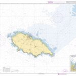
Norway: 500K Topographic Survey of Svalbard/Spitsbergen
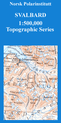
Topographic maps of the Svalbard (Spitsbergen) group from Norsk Polarinstitutt, with contours at 100m intervals. Physical features shown include moraine, rocks, coastline with flat foreshore, etc. The maps also show settlements, roads, mines, cabins, radio stations, aerial cableways, airfields, etc. National park and nature reserve boundaries are marked. The maps have a UTM grid and
Italy: F&B Walking Maps of the Dolomites

The Dolomites and the surrounding region as an extension of Freytag & Berndtโ€s series of hiking maps of Austria. The maps have contours at 100-metre intervals. An overprint highlights footpaths, including all nine Alte Vie – the Dolomites High Level Routes, with cycling, mountain bike, and ski routes also shown on some of the titles.
Great Britain and Northern Ireland: Sustrans Cycling Maps
Cycling maps from Sustrans, the charity behind developing UKโ€s National Cycle Network. Each title covers either a single route, presented in sections on separate strip maps, or a wider area with the main cycling route(s) prominently highlighted but other recommendations for cyclists also marked. The area covered each map is shown on our website on
Sweden: Lantmรคteriet 100K/50K Mountain Survey Maps
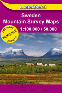
Mountain areas of central and northern Sweden on waterproof and tear-resistant, GPS compatible topographic โ€Fjรคllkartanโ€ maps at 1:100,000 and 1:50,000 from Lantmรคteriet – the countryโ€s national survey organization, with hiking and ski routes, campsites and youth hostels, etc. Relief is shown by contours at 20m intervals and enhanced by relief shading, plus colouring and/or graphics
Great Britain: OS 50K Landranger Maps (Paper and Waterproof Editions)
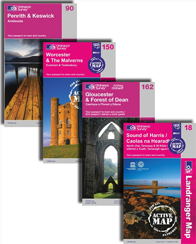
Ordnance Surveyโ€s Landranger series covering the whole of Britain at 1:50,000, with each title available either on paper or as a waterproof and tear-resistant OS Active map. The maps provide plenty of recreational and tourist information, indicating the traditional public right of way paths (except in Scotland where different laws apply), including bridleways and byways
Great Britain: Ordnance Survey Tour Maps
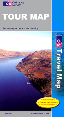
Ordnance Surveyโ€s Tour series of indexed regional road maps, with extra clear, uncluttered cartography, national and regional cycle routes, national long-distance hiking trails, extensive tourist information and town navigation maps.Topography is shown by altitude colouring and relief shading, plus names of local hill or mountain ranges and heights of important peaks. Additional colouring indicates woodlands;
Peru: 100K Topographic Survey Maps

Topographic survey of Peru at 1:100,000 from the Instituto Geogrรกfico Nacional in Lima, the countryโ€s national survey organization. Contours are at 25m intervals, with colouring and/or graphics indicating different types of terrain and vegetation. Some of the maps may contain small blank spaces for areas yet to be surveyed. The maps have a 1km UTM
Portugal: 100K Topographic Survey Maps
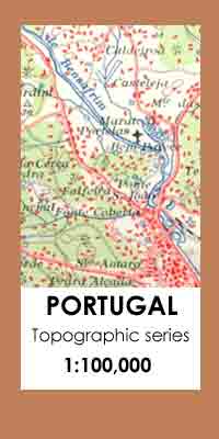
Topographic survey of Portugal at 1:100,000 from the Instituto Geogrรกfico Portuguรชs, the countryโ€s civilian survey organisation. The maps have contours at 50m intervals and in addition to the standard features shown on topographic mapping at this scale also indicate various types of vegetation (vineyards, olive groves, etc). Each sheet covers an area of 64 x
Portugal: 50K Civilian Topographic Survey Maps
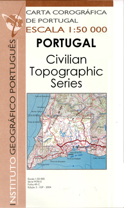
Topographic survey of Portugal at 1:50,000 from the Instituto Geogrรกfico Portuguรชs, the countryโ€s civilian survey organisation. The maps have contours at 25m intervals and in addition to the standard features shown on topographic mapping at this scale also indicate various types of vegetation (vineyards, olive groves, etc). Each sheet covers an area of 32 x
Portugal: 50K Military Topographic Survey Maps

Topographic survey of Portugal at 1:50,000 from the Instituto Geogrรกfico do Exรฉrcito, the countryโ€s military survey organisation. The maps have contours at 20m intervals and in addition to the standard features shown on topographic mapping at this scale also indicate various types of terrain or vegetation (sand, terraces, rocks, woodlands, vineyards, etc). Each sheet covers
Switzerland: Michelin 200K Road Maps
Switzerland on three indexed touring maps at 1:200,000 from Michelin, each with street plans of major cities showing access routes and main streets, plus a distance table. The maps also indicate places with entries in Michelinโ€s annual Red Guides to hotels and restaurants.Topography is presented by relief shading and colouring for woodlands, plus names of
France: Rando Editions/IGN 50K Walking Maps of the Pyrenees
French Pyrenees in a series of recreational maps at 1:50,000 from Rando Editions with GPS compatible topographic base provided by the IGN, plus extensive overprint highlighting local and long-distance hiking trails, campsites, mountain refuges, gรฎtes dโ€etape, areas for various recreational pursuits, tourist information offices, historical heritage, etc.Topography is vividly presented by contours at 20m intervals
USA: Michelin Regional Road Maps
United States divided into three regional maps 1:2,400,000 (1โ€ to 38 miles) from Michelin, with additionally more detailed coverage of the north-eastern seaboard on maps of New England and the Mid-Atlantic states at 1:500,000 (1โ€ to 8 miles).Road network indicates toll roads and clearly shows road numbers of interstate and state highways plus on selected