Category Archives: Accessories
Greenland : Greenland Tourism Hiking Maps
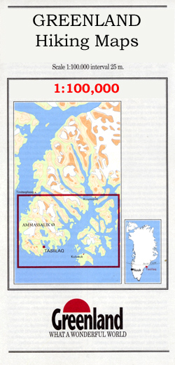
Coastal areas of Greenland at 1:100,000 or 1:75,000 in a series of GPS compatible contoured topographic maps from Greenland Tourism, indicating both recommended hiking trails and snowmobile routes, plus camping places, youth hostels, etc.Contours lines are at 25m intervals and additional altitude colouring. The maps provide a very detailed picture of the terrain, showing topographic
Italy: Kompass 25K/40K Hiking Maps of the Dolomites
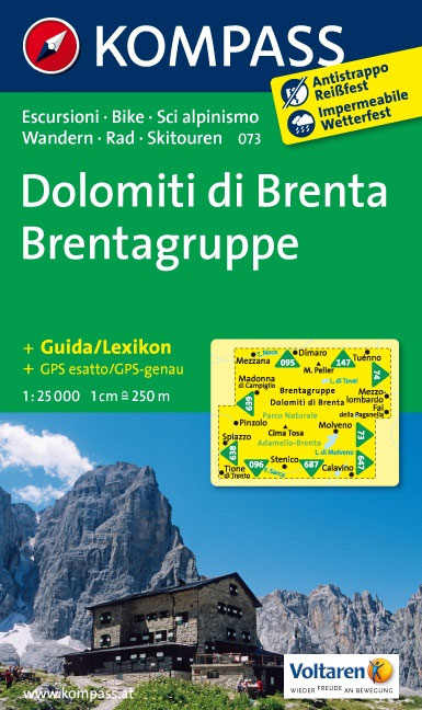
Detailed coverage of the Dolomites and Lake Garda area from Kompass, supplementing their main series of walking maps of Italy at 1:50,000. Maps in this series have a more detailed base and smaller contour interval than coverage at 1:50,000.CATROGRAPHY: the maps at 1:25,000 have contours at 25-m intervals. An overprint shows local and long-distance footpaths,
Italy: Kompass 50K Hiking Maps
Kompass walking maps of selected areas of Italy at 1:50,000, with a GPS compatible, contoured topographic base, extensive overprint for hiking routes, various types of accommodation, numerous recreational facilities, places of interest, etc. COVERAGE:The series covers the northern part of the Italian Alps, the lake region of Lombardy, the Dolomites, Italian Riviera, selected parts of
India: Leomann Trekking Maps of the Indian Himalaya
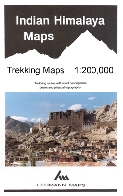
Maps designed specifically for the trekker, presenting the topography by line drawings of mountain ridges, with main peaks and passes shown with their height above sea level. The maps also show rivers and settlements and clearly indicate trekking routes. On the reverse are descriptions of suggested routes and other information about the area.
Pakistan: Leomann Trekking Maps of the Karakoram
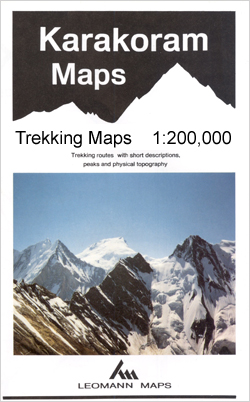
Maps designed specifically for the trekker, presenting the topography by line drawings of mountain ridges, with main peaks and passes shown with their height above sea level. The maps also show rivers and settlements and clearly indicate trekking routes. On the reverse are descriptions of suggested routes and other information about the area.nb. Map no.
Nepal: Leomann Trekking Maps
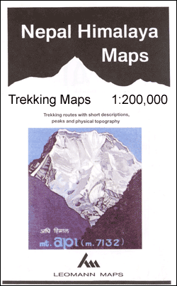
Maps designed specifically for the trekker, presenting the topography by line drawings of mountain ridges, with main peaks and passes shown with their height above sea level. The maps also show rivers and settlements and clearly indicate trekking routes. On the reverse are descriptions of suggested routes and other information about the area.
Luxembourg: 50K Topographic Survey Maps
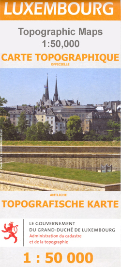
Topographic survey maps with contours at 10-metres intervals and additional relief shading. An overprint highlights long-distance footpaths, including the GR5 (E-2), cycle routes, and various places of interest, including campsites. Each map covers an area of approximately 53 x 43 km / 33 x 27 miles. Map ticks give latitude and longitude at 5` intervals
Denmark: MairDumont Marco Polo 200K Road Maps
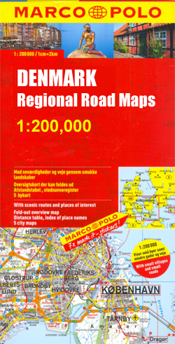
MairDumont`s Marco Polo regional series of Denmark at 1:200,000, now on only two double-sided sheets, with special new features to aid route planning whilst retaining the publisherโ€s excellent cartography. The index is now in a separate booklet, which also includes street plans of main cities.The new presentation of this series, introduced in March 2009, includes
Germany: Michelin Regional Road Maps

Germany in a series of six indexed regional road maps from Michelin at scales from 1:300,000 to 1:375,000 with enlargements showing access to main cities and/or street plans, distance/driving time tables, and cross-referencing to Michelinโ€s Red Guide to hotels and restaurants.The maps show the motorways with full or limited interchanges and service areas, indicate interregional
Great Britain and Ireland: Quail Railway Track Diagrams
Great Britain and Ireland in a series of five titles divided into the original British Rail regions plus Ireland and showing the entire rail network together with a number of private railways, industrial layouts and London Underground lines.The information included in them is a combination of historical sources, kept up to date with reference to
Eyewitness Pocket Map and Guide Series

Each title in the Eyewitness Pocket Map and Guide series to world cities consists of a slim, mini guide, in a unique format, to the locationโ€s major places of interest and an indexed pull out pocket map. Sights such as museums, galleries, churches and gardens/parks, as well as shops, restaurants and pubs are presented by
Great Britain: Speede County Maps of Great Britain
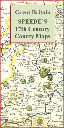
Colour reproductions of attractive county maps by John Speede from about 1610-1611, printed on thick art paper and ideal for framing. Each title, 58 x 45cm / approx. 23โ€ x 18โ€, is decorated with additional notes, drawings, coats of arms, street plans, etc.Little drawings are used to show locations of towns, larger villages, hills and
Belgium/France: World War I Trench Maps of the Western Front

British Army trench maps from the WWI, reproduced by G.H. Smith & Son at approximately 7/10th of the original scales quoted against each title. The maps show both the British and the enemy trenches. Several of the maps also indicate supply and ammunition dumps, machine gun and trench mortar emplacements, observation posts, etc.Most titles are
Norway: 500K Topographic Survey of Svalbard/Spitsbergen
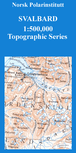
Topographic maps of the Svalbard (Spitsbergen) group from Norsk Polarinstitutt, with contours at 100m intervals. Physical features shown include moraine, rocks, coastline with flat foreshore, etc. The maps also show settlements, roads, mines, cabins, radio stations, aerial cableways, airfields, etc. National park and nature reserve boundaries are marked. The maps have a UTM grid and
Italy: F&B Walking Maps of the Dolomites

The Dolomites and the surrounding region as an extension of Freytag & Berndtโ€s series of hiking maps of Austria. The maps have contours at 100-metre intervals. An overprint highlights footpaths, including all nine Alte Vie – the Dolomites High Level Routes, with cycling, mountain bike, and ski routes also shown on some of the titles.
Great Britain and Northern Ireland: Sustrans Cycling Maps
Cycling maps from Sustrans, the charity behind developing UKโ€s National Cycle Network. Each title covers either a single route, presented in sections on separate strip maps, or a wider area with the main cycling route(s) prominently highlighted but other recommendations for cyclists also marked. The area covered each map is shown on our website on
Sweden: Lantmรคteriet 100K/50K Mountain Survey Maps
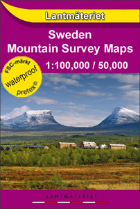
Mountain areas of central and northern Sweden on waterproof and tear-resistant, GPS compatible topographic โ€Fjรคllkartanโ€ maps at 1:100,000 and 1:50,000 from Lantmรคteriet – the countryโ€s national survey organization, with hiking and ski routes, campsites and youth hostels, etc. Relief is shown by contours at 20m intervals and enhanced by relief shading, plus colouring and/or graphics
Switzerland: Swiss Survey 100K Topographic Maps
Swiss topographic survey at 1:100,000 from Swisstopo, highly regarded for it superb use of graphic relief and hill shading, presenting an almost 3-D picture of the country`s mountainous terrain. Coverage is available either as small size standard sheets โ€“ Nos 26 to 48, each covering 70 x 48 km / 43 x 30 miles approx,
Switzerland: Swiss Survey 200K Topographic Maps
Four topographic maps from the Swiss national survey organisation. The maps skilfully present Switzerland`s mountainous terrain, with contours at 100-metre intervals enhanced by graphic relief and shading, rather than offer more specific tourist information. A grid in steps of 20`shows latitude and longitude, with margin ticks for the Swiss national grid. Map legend is in
Switzerland: Swiss Survey 25K Topographic Maps

Topographic survey of Switzerland at 1:25,000 from Swisstopo covering the whole country on 247 small format sheets, with special larger maps published for popular regions, including some titles now available in hiking versions published by Swisstopo in cooperation with the Swiss Hiking Federation (SAW/FSTP/FSS). Highly regarded for their superb use of graphic relief and hill