Category Archives: Accessories
Czech Republic: MairDumont Marco Polo 200K Road Maps
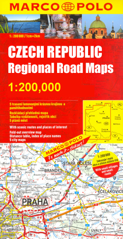
MairDumont`s Marco Polo regional series of the Czech Repoublic at 1:200,000, with special new features to aid route planning whilst retaining the publisherโ€s excellent cartography. The index is now in a separate booklet, which also includes street plans of main cities.The new presentation of this series, introduced in March 2009, includes a fold-out extension of
USA: DeLorme State Road Atlases
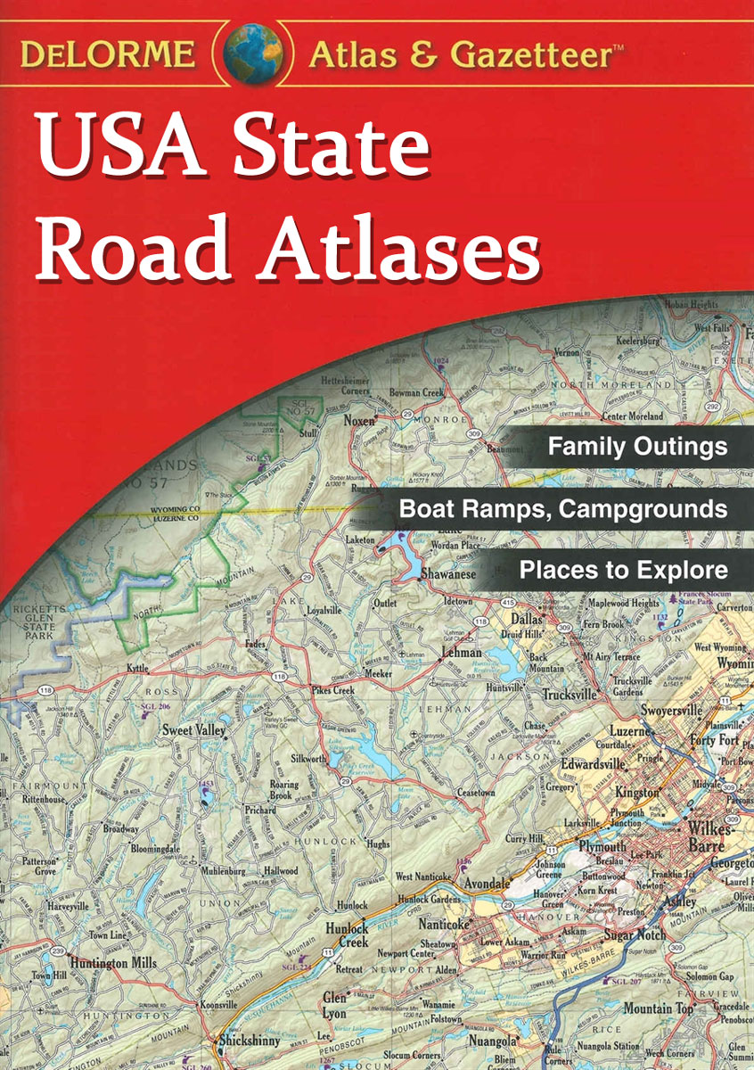
USA in a series of large format paperback state atlases from DeLorme, with detailed, contoured, GPS compatible topographic mapping plus extensive recreational information, with lists of facilities, etc. Each title covers one state and presents it at a scale much more detailed than used on most state road maps. Particularly popular areas are often also
Nepal: NGS Adventure Maps
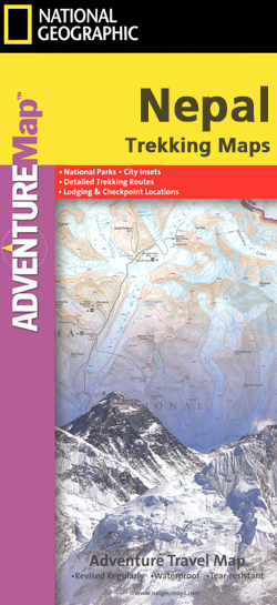
Nepalโ€s four most popular trekking areas: Mt Everest, the wider Khumbu Himal region, Annapurna and Langtang on indexed, light, waterproof and tear-resistant hiking maps, each with a plan of Kathmandu and an overview map of the whole country.The maps were prepared by the NGS/Trails Illustrated team responsible for the highly acclaimed hiking maps of national
India: Nelles Regional Road Maps
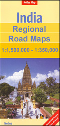
India on a series of five double-sided maps at 1:1,500,000 from Nelles, with their smaller size offering a convenient format for use when travelling and most titles now available in waterproof and tear-resistant editions. The maps present the countryโ€s road and rail networks on a base with relief shading to show the topography. National parks
Croatia: Freytag & Berndt Maps of the Croatian Coast
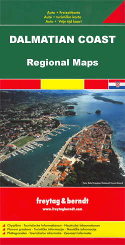
The coast of Croatia on detailed tourist maps from Freytag & Berndt prominently highlighting campsites and other facilities, as well as numerous places of interest. The whole coast with the islands, from Trieste in Italy to Herceg-Novi in Montenegro, is covered on six maps at 1:100,000. A separate map at 1:150,000 covers the Dalmatian coast
Croatia/Montenegro: MairDumont Marco Polo 200K Road Maps of the Dalmatian Coast
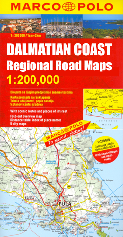
The coast of Croatia and Montenegro in MairDumont`s Marco Polo regional series at 1:200,000, with special new features to aid route planning whilst retaining the publisherโ€s excellent cartography. The index is now in a separate booklet, which also includes street plans of main cities.The new presentation of this series, introduced in March 2009, includes a
Croatia: Freytag & Berndt 200K Regional Road Maps
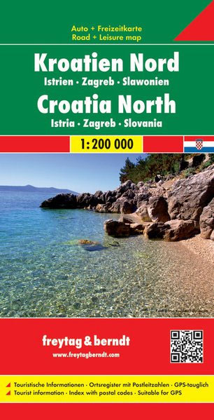
Two large, double-sided detailed road maps, with very clear cartography, subtle relief shading and spot heights indicating the terrain. Road information includes scenic routes, toll roads, traffic restrictions and seasonal closures, etc. Places of interest are highlighted and the maps also show ferry connections on the Dalmatian coast. A grid in steps of 15` shows
N/A 500

AAโ€s Impressions guide series comprises a selection of illustrated titles exploring contrasting portrayals of landscape, mainly within Britain. Each title has a collection of full colour photographs with an accompanying caption to describe the location of the picture. Many of the images are diverse in nature, taking in forests, mountains, villages, architecture, beaches, rivers, coasts
Lonely Planet Discover Guides
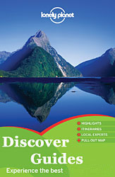
The Discover series from Lonely Planet cover a range of countries worldwide and are practically designed to allow travellers to find the most iconic sites and attractions at a glance. Uniquely designed, each title in the series includes a series of lists of the best things to do and see, with highlights, thematic โ€bestโ€ sections
Great Britain: Cassini Historical Reproductions of Ordnance Survey One-Inch Maps of England & Wales

Cassini Historical Series of old Ordnance Survey mapping of England and Wales at 1:50,000 in a format designed to offer a convenient comparison with the present day coverage from the OS, and most locations in three different editions. Old historical maps have been combined so that the sheet lines correspond to the current Landranger series
Footprint France Guides

The France series from Footprint comprises of a range of titles dedicated to the regions of France and designed for independent travellers who like exploring off the beaten track. Footprint guides have an established reputation, built up since 1921, for catering for more adventurous and individual travellers. Each author has travelled extensively to provide unique
France: IGN 150K Departmental Road Maps
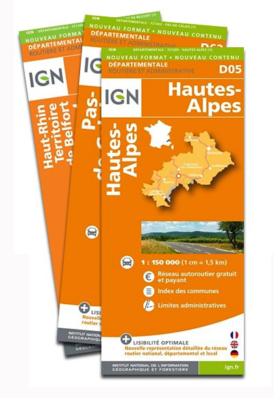
Franceโ€s individual administrative departments on maps at 1:150,000 from the IGN with the clearest presentation of the road network among the publishersโ€ extensive range of titles, but with less topographic and no tourist information offered by IGNโ€s bestselling TOP100 series. The index lists communes with their population figures.Greater clarity in the presentation of the road
Spain: Adrados Hiking Maps

Hiking maps of selected mountainous areas of Spain from Adrados Ediciones, including excellent coverage of the Picos de Europa โ€“ Stanfordsโ€ perennial bestsellers, with exceptionally vivid presentation of the landscape through contours enhanced by shading and very finely drawn graphic relief, plus plenty of spot heights and names of peaks, massifs, valleys and other topographic
Imray-Iolaire Charts: The Caribbean
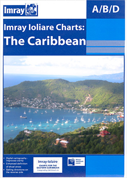
Imrayโ€s series of charts of the coastal waters of the Caribbean are comprehensive and easy-to-use sailing charts published on rip-proof, waterproof paper- ideal for use on small tables or in cockpits. They show detailed coastline and depth information, and are constantly corrected to reflect latest information. Designed primarily for yachtsmen, they are comprehensive without being
Greenland : Greenland Tourism Hiking Maps
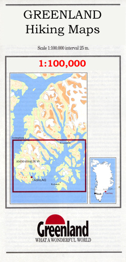
Coastal areas of Greenland at 1:100,000 or 1:75,000 in a series of GPS compatible contoured topographic maps from Greenland Tourism, indicating both recommended hiking trails and snowmobile routes, plus camping places, youth hostels, etc.Contours lines are at 25m intervals and additional altitude colouring. The maps provide a very detailed picture of the terrain, showing topographic
Italy: Kompass 25K/40K Hiking Maps of the Dolomites
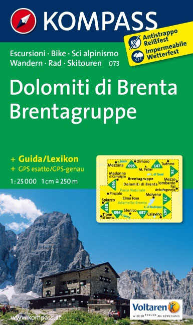
Detailed coverage of the Dolomites and Lake Garda area from Kompass, supplementing their main series of walking maps of Italy at 1:50,000. Maps in this series have a more detailed base and smaller contour interval than coverage at 1:50,000.CATROGRAPHY: the maps at 1:25,000 have contours at 25-m intervals. An overprint shows local and long-distance footpaths,
Italy: Kompass 50K Hiking Maps
Kompass walking maps of selected areas of Italy at 1:50,000, with a GPS compatible, contoured topographic base, extensive overprint for hiking routes, various types of accommodation, numerous recreational facilities, places of interest, etc. COVERAGE:The series covers the northern part of the Italian Alps, the lake region of Lombardy, the Dolomites, Italian Riviera, selected parts of
India: Leomann Trekking Maps of the Indian Himalaya
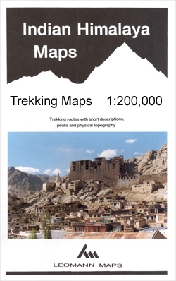
Maps designed specifically for the trekker, presenting the topography by line drawings of mountain ridges, with main peaks and passes shown with their height above sea level. The maps also show rivers and settlements and clearly indicate trekking routes. On the reverse are descriptions of suggested routes and other information about the area.
Pakistan: Leomann Trekking Maps of the Karakoram
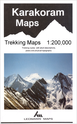
Maps designed specifically for the trekker, presenting the topography by line drawings of mountain ridges, with main peaks and passes shown with their height above sea level. The maps also show rivers and settlements and clearly indicate trekking routes. On the reverse are descriptions of suggested routes and other information about the area.nb. Map no.
Nepal: Leomann Trekking Maps
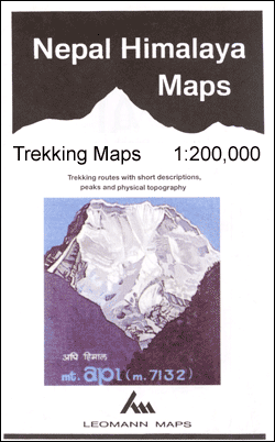
Maps designed specifically for the trekker, presenting the topography by line drawings of mountain ridges, with main peaks and passes shown with their height above sea level. The maps also show rivers and settlements and clearly indicate trekking routes. On the reverse are descriptions of suggested routes and other information about the area.