Category Archives: Accessories
Poland: CartoMedia Walking Maps of Southern Polish Highlands
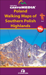
Detailed contoured and GPS compatible hiking maps from the CartoMedia group covering the highlands of southern Poland, including coverage of the Slovak side of the Tatra Mountains. The maps highlight numerous walking trails, showing approx. hiking times in both directions, the degree of difficulty and possible danger points. Symbols indicate mountain huts, campsites and other
Germany: Bikeline Cycling Atlases
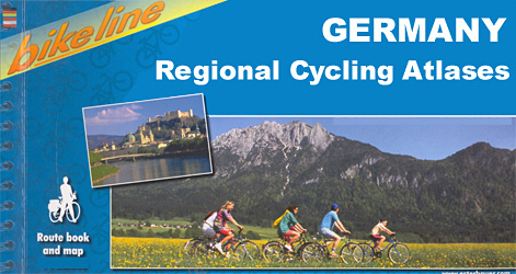
German cities and regions in a series of handy size, 23 x 12 cm, spiral bound atlases from Verlag Esterbauer, Europeโ€s leading publishers of cycling maps. Map legend includes English and, although ALL THE TEXT IN THESE GUIDES IS IN GERMAN ONLY, information provided on the maps is sufficient to use them without any knowledge
Great Britain: Victorian England & Wales 1897 Maps from the Old House Books
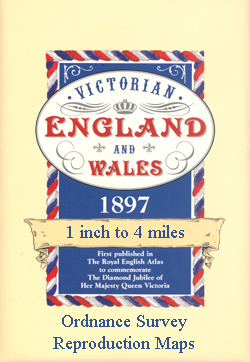
England and Wales on nine sheets from Old House Books reproducing mapping originally published in 1897 in The Royal English Atlas to mark Queen Victoriaโ€s Diamond Jubilee. Each map comes with a small booklet describing Victorian Britain and is presented in a protective envelope.Reproduced at a scale of 4 miles to one inch and predominantly
Greenland: Saga 500K/370K Maps
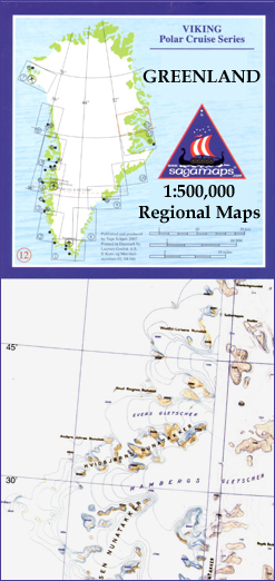
Coastal regions of Greenland at 1:500,000 on 12 topographic maps from Saga, with coverage of the central part of the western coast also available on two special sheets at 1:370,000. Both scales have the same cartography as the publisherโ€s 1:250,000 series but reduced to provide a wider coverage per sheet. The reduction means that some
Central Asia: 500K Regional Topographic Maps
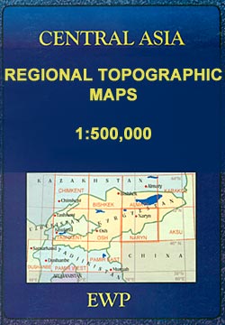
The mountains of Central Asia on at 1:500,000 on 11 detailed, contoured maps derived from the Soviet era topographic survey but with transliterated place names and an English language map legend. The series provides coverage of the Tien Shan and Pamir Mountains, with the whole of Kyrgyzstan, northern Tajikistan, plus the adjoining regions of Uzbekistan
Iceland: Mรกl og Menning Touring and Hiking Maps
Icelandโ€s popular hiking and recreational areas on a series of detailed topographic maps from Mรกl og menning, the countryโ€s leading cartographic publishers, with beautiful drawings of local birds and tourist information.The maps present very detailed picture of countryโ€s topography, with contours at 20m intervals supplemented by spot heights and relief shading. Colouring and/or graphics indicate
Spain: 100K Catalan Topographic Survey
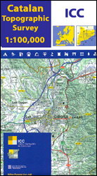
Catalonia on seven large topographic survey maps at 1:100,000 from the Institut Cartogrร fic de Catalunya, each providing very detailed coverage of a large area and an excellent representation of the regionโ€s topography.Relief is presented by contours at 40m intervals, enhanced by additional hill-shading and spot heights; additional colouring shows different types of vegetation and boundaries
Austria: Freytag & Berndt 150K “Top 10 Tips” Road Maps
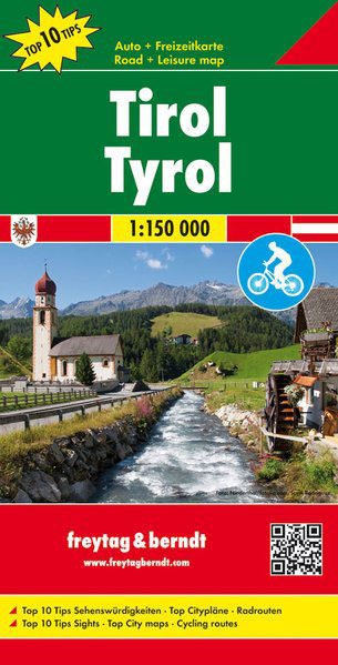
Austria on detailed road maps at mostly 1:150,000 from Freytag & Berndt, with highlighting of cycle routes, scenic roads, sightseeing tourist routes and picturesque locations, plus in each titleโ€s index booklet street plans and descriptions of sights and/or routesMaps in F&Bโ€s โ€Top 10 Topsโ€ series have relief portrayed by hill-shading without distracting from other detail,
Austria: Freytag & Berndt Hiking Atlases
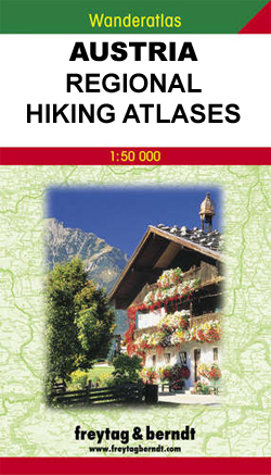
Freytag & Berndt`s walking maps of Austria combined into pocket-size atlases, each covering a popular hiking area. The atlases include hiking suggestions and descriptions of places of interest. *Map legend includes English but all the text is in German only.*
Ukraine: Kartografija 500K Road Maps
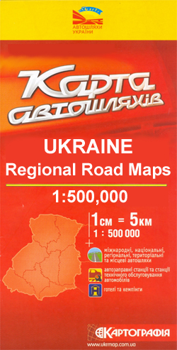
Ukraine in a series of four double-sided detailed maps from Kartografija in Kiev, highlighting picturesque towns and other places of interest. Road network includes local unsufaced roads and indicates locations of petrol or service stations and border crossings. Railway lines, local airports and administrative boundaries are also shown, and symbols mark places of interest, selected
France: Rando Editions 50K Walking Maps of the French Alps
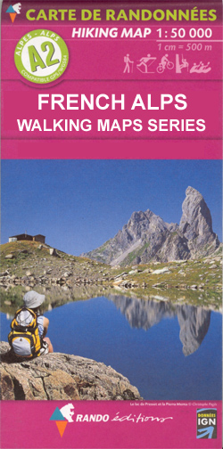
French Alps on hiking maps from Rando Editions, with tourist information on a topographic base from the Institut Gรฉographique National. Finely detailed cartography has contours at 20m intervals with relief-shading. Glaciers, cliffs, scree and wooded areas are shown, as well as springs, intermittent streams, etc. Local footpaths and the long-distance GR routes are highlighted and
Spain: Reise Know-How Walking and Touring Maps of Mallorca
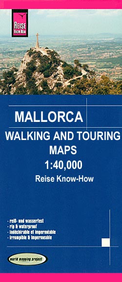
Mallorca on four GPS compatible, double-sided maps at 1:40,000 from Reise Know-How printed on light, waterproof and tear-resistant plastic paper, with very clear presentation of the road network, plus selected hiking and cycling routes.The maps have contours at 100m intervals, enhanced by altitude colouring, with plenty of names of mountain ranges, peaks, etc. Road network
Germany: Freytag & Berndt 200K Regional Road Maps

Large, indexed regional maps with fine, clear cartography. General relief is portrayed by hill-shading with selected spot heights without distracting from the other detail. The motorway network and recommended scenic routes stand out well from the background, but some may find minor local roads a little too faint. In some places exits from motorways are
South Africa: Slingsby Maps Hiking Maps of the Cape Peninsula
Cape Peninsula on high quality, detailed and GPS-compatible walking maps from Slingsby Maps, with excellent cartography, plenty of tourist information and printed on waterproof and tear-resistant synthetic paper. Contour lines are given at 10m or 20m intervals, and most maps show vegetation and terrain variations. Roads and footpaths are clearly drawn. Symbols indicate information for
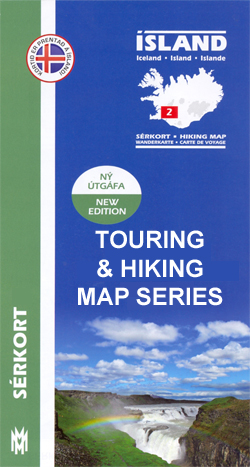
Iceland: Mรกl og menning`s 100K Topographic Survey Maps
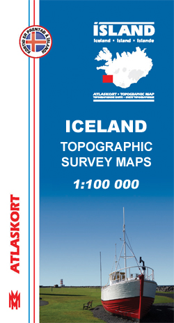
Iceland on 31 maps at 1:100,000 in a new topographic survey of the country first published by Mรกl og menning in 2010, with excellent, vivid presentation of the terrain, footpaths and bridleways, campsites, etc.The map have contours at 20m intervals, enhanced by bold relief shading, plus colouring and/or graphics to show glaciers, lava fields, sands
Great Britain and Ireland: Harvey Superwalker & Ultramap Maps
Popular hiking areas of Great Britain and Ireland on waterproof and tear-resistant, mostly double-sided, contoured and GPS compatible maps from Harvey Map Services in their Superwalker series at 1:25,000 or 1:30,000, annotated with additional information for walkers. Selected areas are now also available as pocket-size Ultramaps at 1:40,000, also waterproof and tear-resistant and with the
France: Didier Richard Hiking Maps of South Eastern France and Corsica
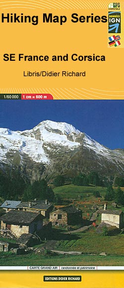
South-Eastern France including Corsica in a series of contoured and GPS compatible walking maps from Editions Didier Richard with a base derived from IGNโ€s topographic survey, highlighting both local hiking routes and the GR network of long-distance paths, gรฎtes and mountain refuges, interesting natural and cultural sites, etc. Most titles are at 1:60,000 to present
Great Britain: Harvey Maps of Long-distance Hiking Trails
Great Britainโ€s national trails and other long-distance footpaths on light, waterproof and tear-resistant walking maps at 1:40,000 or 1:60,000 from Harvey Map Services. The routes are divided into panels so that each trail can be presented on one map.Topography is shown by contours at 15m intervals, with additional spot heights plus colouring and/or graphics to
Spain: 25K Catalan Topographic Survey

Topographic survey of Catalonia at 1:25,000 from the Institut Cartogrร fic i Geolรฒgic de Catalunya, an attractive alternative to Spainโ€s national topographic survey at this scale, offering a much larger area per sheet with extensive tourist information and vivid presentation of vegetation and land use.These large, detailed maps have contours at 10m intervals enhanced by hill
Germany: Freytag & Berndt “Top 10 Tips” Road Maps
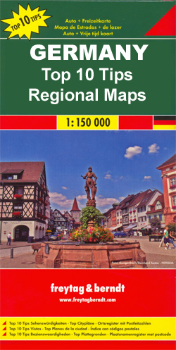
Germanyโ€s popular holiday areas on detailed road maps at 1:150,000 from Freytag & Berndt, each with a booklet with street plans, an index and descriptions of 10 selected places of interest, all prominently highlighted on the maps.Relief is portrayed by hill-shading without distracting from other detail. Although these maps are using the same cartography as