Category Archives: Accessories
Poland/Czech Republic: Hรถfer 200K Road Maps with Historical Place Names
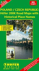
Road maps of areas in Poland and Czech Republic which used to be part of Germany or the Austro-Hungarian Empire, showing both current and the old German place names. In many places former settlements which now no longer exist are also named. Present road and rail networks are supplemented by historical information, e.g. former railway
Australia: UBD Gregory`s State Road Maps

Australiaโ€s states in a series of maps from UDB Gregory`s combining a road map of the whole state with:- in a โ€State and Suburbanโ€ title, a map showing suburbs of the state capital- in a โ€State and Citiesโ€ title, a city centre street plan of the state capital plus street plans of other citiesSome states
ADMIRALTY Ocean Plotting Sheets
Designed to help mariners plot their journeys, these sheets are available for a range of latitudes and use Mercator with a compass rose or Stereographic Projection (select charts).
USA: Benchmark Maps State Road Maps
Very detailed state maps of the western states of USA from Benchmark Maps designed to highlight national/state parks or forests and other protected areas, and to provide information on recreational possibilities, campgrounds and RV parks, etc.The base map is derived from satellite imagery to show the topography, with plenty of names of individual mountain ranges,
Argentina: ACA Zonal Road Maps
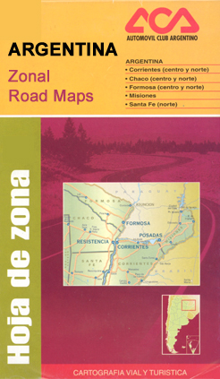
Clear touring maps of Argentinaโ€ regions at 1:1,000,000 from the Automรณvil Club Argentino, with street plans of local towns and enlargements for popular areas. Road network, from motorways to unsurfaced country tracks is presented on a clear base with relief shading and spot heights, plus rivers, lakes, glaciers, etc., to show the topography. Intermediate driving
Argentina: Firestone Regional Road Maps
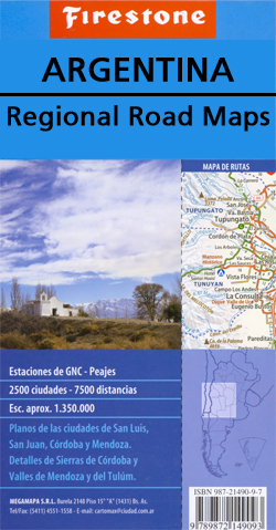
Double-sided, indexed touring maps with plans of main towns. Road network, particularly in the less populated parts of the country, includes more minor roads and tracks and more small settlements than corresponding titles in the ACA Zonal series. Road information continues across the border with Chile. Faint relief shading with names of main mountain ranges
Greece: Anavasi Hiking Maps of Crete
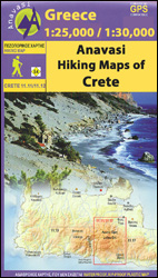
Popular walking areas of Crete on contoured, GPS compatible maps from Anavasi at 1:25,000 โ€“ 1:35,000, printed waterproof and tear-resistant paper. Each title includes on the reverse a specially adapted version of the map where recommended trails are annotated at several points with useful notes for hikers.Topography is shown by contour lines at 20m intervals,
Austria: 200K Topographic Survey Province Maps

Austriaโ€s provinces in a series of topographic maps at 1:200,000 from Bundesamt fรผr Eich- und Vermessungswesen, the countryโ€s national survey organization, with cartography derived from generalising the 1:50,000 mapping. Topography is shown by contours at 100m intervals, spot heights, hill-shading and graphic relief. Colours and graphics distinguish landscape types e.g. forests, vineyards, swamps. Attractive, finely-drawn
Netherlands: Falk Maps of the Conservation Areas
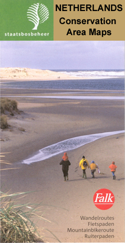
Recreational areas of the Netherlands on walking and cycling maps at 1:25,000 โ€“ 1:35,000, published by Falk BV in cooperation with Staatsbosbeheer โ€“ Dutch governmentโ€s organization for forestry and the management of nature reserves.Colouring indicates different types of vegetation or terrain: woodland, pastures, heath or sand dunes. Given the topography of most of the country,
Wallpaper* City Guides
The Wallpaper* City Guide series published by Phaidon encompasses a collection of pocket-size guides dedicated to the design elements in major cities. Compiled by experts at the Wallpaper* magazine, the guides are widely recognised for appealing to design-conscious travellers and are aimed at those interested in art, design and architecture. Each guide identifies the best
Trailblazer British Walking Guides
Trailblazerโ€s British Walking Guides explore a range of popular walking routes and long-distance footpaths in England, Scotland and Wales and are one of the leading outdoor guide-book publishers. Designed with practicality in mind, each guide describes a long-distance walking route in clearly defined stages, allowing walkers to easily identify which parts of the route that
Germany: Bikeline Cycling Atlases
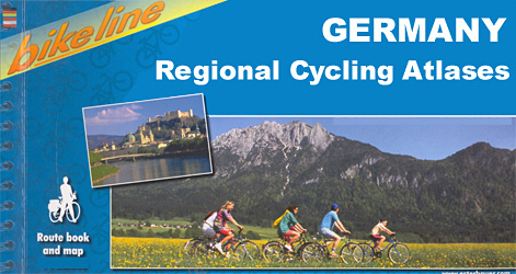
German cities and regions in a series of handy size, 23 x 12 cm, spiral bound atlases from Verlag Esterbauer, Europeโ€s leading publishers of cycling maps. Map legend includes English and, although ALL THE TEXT IN THESE GUIDES IS IN GERMAN ONLY, information provided on the maps is sufficient to use them without any knowledge
Great Britain: Victorian England & Wales 1897 Maps from the Old House Books
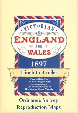
England and Wales on nine sheets from Old House Books reproducing mapping originally published in 1897 in The Royal English Atlas to mark Queen Victoriaโ€s Diamond Jubilee. Each map comes with a small booklet describing Victorian Britain and is presented in a protective envelope.Reproduced at a scale of 4 miles to one inch and predominantly
Greenland: Saga 500K/370K Maps
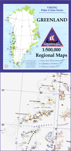
Coastal regions of Greenland at 1:500,000 on 12 topographic maps from Saga, with coverage of the central part of the western coast also available on two special sheets at 1:370,000. Both scales have the same cartography as the publisherโ€s 1:250,000 series but reduced to provide a wider coverage per sheet. The reduction means that some
Central Asia: 500K Regional Topographic Maps
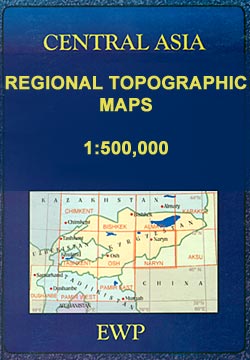
The mountains of Central Asia on at 1:500,000 on 11 detailed, contoured maps derived from the Soviet era topographic survey but with transliterated place names and an English language map legend. The series provides coverage of the Tien Shan and Pamir Mountains, with the whole of Kyrgyzstan, northern Tajikistan, plus the adjoining regions of Uzbekistan
Iceland: Mรกl og Menning Touring and Hiking Maps
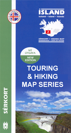
Icelandโ€s popular hiking and recreational areas on a series of detailed topographic maps from Mรกl og menning, the countryโ€s leading cartographic publishers, with beautiful drawings of local birds and tourist information.The maps present very detailed picture of countryโ€s topography, with contours at 20m intervals supplemented by spot heights and relief shading. Colouring and/or graphics indicate
Spain: 100K Catalan Topographic Survey
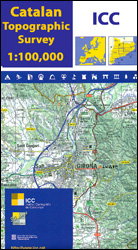
Catalonia on seven large topographic survey maps at 1:100,000 from the Institut Cartogrร fic de Catalunya, each providing very detailed coverage of a large area and an excellent representation of the regionโ€s topography.Relief is presented by contours at 40m intervals, enhanced by additional hill-shading and spot heights; additional colouring shows different types of vegetation and boundaries
Austria: Freytag & Berndt 150K “Top 10 Tips” Road Maps
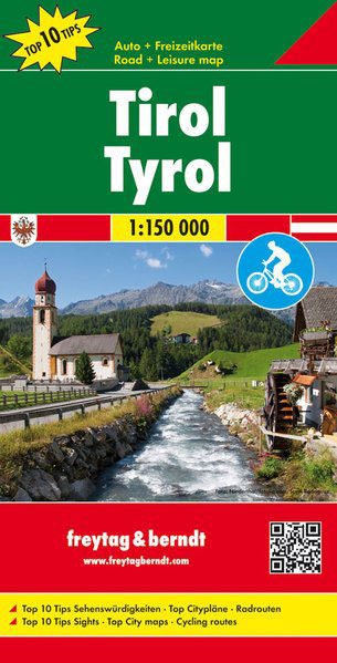
Austria on detailed road maps at mostly 1:150,000 from Freytag & Berndt, with highlighting of cycle routes, scenic roads, sightseeing tourist routes and picturesque locations, plus in each titleโ€s index booklet street plans and descriptions of sights and/or routesMaps in F&Bโ€s โ€Top 10 Topsโ€ series have relief portrayed by hill-shading without distracting from other detail,
Austria: Freytag & Berndt Hiking Atlases
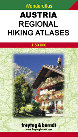
Freytag & Berndt`s walking maps of Austria combined into pocket-size atlases, each covering a popular hiking area. The atlases include hiking suggestions and descriptions of places of interest. *Map legend includes English but all the text is in German only.*
Ukraine: Kartografija 500K Road Maps
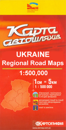
Ukraine in a series of four double-sided detailed maps from Kartografija in Kiev, highlighting picturesque towns and other places of interest. Road network includes local unsufaced roads and indicates locations of petrol or service stations and border crossings. Railway lines, local airports and administrative boundaries are also shown, and symbols mark places of interest, selected