Category Archives: Accessories
Australia: UBD Gregory`s Regional Road Maps
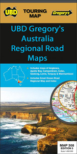
A series of touring maps from UBD Gregory`s presenting Australiaโ€s popular tourist regions with street plans of their main towns. In each title the main road map is relatively small, often covering less than half of one side of the sheet. The map is usually indexed, highlights main places of interest, and indicates which areas
South Africa: InfoMap Touring Maps
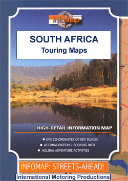
South Africaโ€s main tourist regions with GPS coordinates for selected road junctions, villages and accommodation. Rather basic cartography, with bold elevation tinting, spot heights and rivers (often without names), is designed to highlight the road network and the coordinates provided on the maps. Each map gives GPS waypoints for selected road junctions, small towns or
Spain: 50K Canary Islands Civilian Topographic Survey
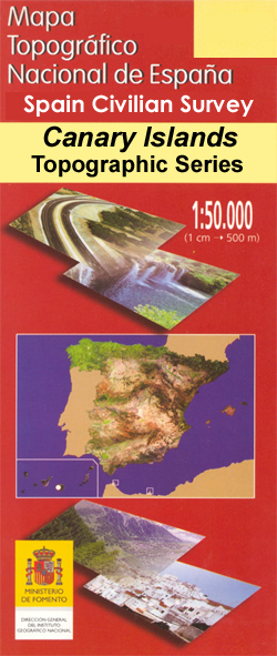
Topographic coverage of the Canary Islands at 1:50,000 in the MTN50 (Mapa Topogrรกfico Nacional) series from the Instituto Geogrรกfico Nacional – Centro Nacional de Informaciรณn Geograficรก, Sapin`s civilian survey organization. The MTN50 series was begun in late 1990s.The maps have contours at 20m intervals, enhanced by relief shading, plus colouring and/or graphics to show different
Finland: Karttakeskus Topographic Hiking Maps
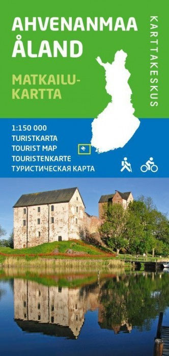
Finlandโ€s hiking and outdoor leisure areas on special tourist maps from Karttakeskus, the countryโ€s national survey organization. Excellent use of colours, shading and symbols provides a very detailed picture of the terrain and vegetation. Extensive overprint highlights routes for hiking, and/or other outdoor pursuits, a wide variety of accommodation, from hotels and holiday villages to
Mexico: ITMB Regional Road Maps
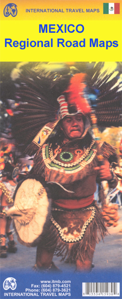
Mexico on touring maps from ITMB, dividing the country both north/south and into a series of more detailed regional maps. Street plans are included in some titles. The maps have altitude colouring with spot heights for major peaks and show deserts, swamps, national parks, etc. Road network with minor roads and tracks, railways, and the
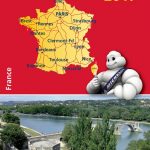
France: Rando Ed. Guides to the Way of St James to Compostela
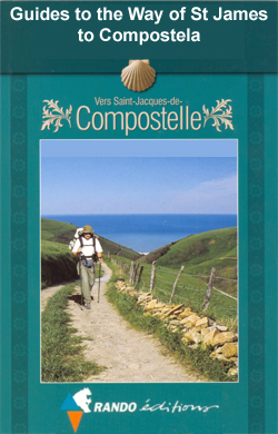
Guides to the various routes of the Way of St. James across France. Written in accessible, easy to follow French, the guides provide all the essential practical information and full details of various types of accommodation along the route, including gรฎtes dโ€รฉtape and campsites. The routes are divided into daily sections of various lengths according
Spain: CNIG Topographic Maps of Popular Scenic Areas
National or natural parks and other scenic areas of Spain on GPS compatible maps from IGN/CNIG, the countryโ€s civilian survey organization, with cartography of their topographic survey mapping and additional overprint for hiking trails and other tourist information.All the maps are contoured and have GPS coordinates โ€“ additional overprint varies, but most maps highlight local
China: GiziMap Regional Maps
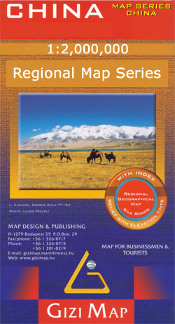
China in a series of five indexed maps at 1:2,000,000 from Gizi Map with attractive presentation of the country`s varied topography. Names of main towns are also in Chinese alphabet, and in Tibet local Tibetan names are also shown.Bold altitude colouring, with spot heights and names of mountain ranges and other geographical features, provides an
Tanzania: Harms Verlag Maps of National Parks and Conservation Areas
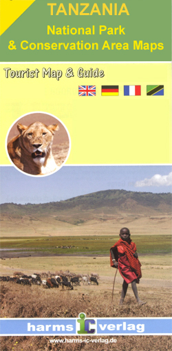
Tanzaniaโ€s protected areas in an excellent series of detailed maps from Harms Verlag, a German publisher specializing in coverage of the country. All titles are contoured, indicate various types of terrain and/or vegetation, and carry plenty of tourist information. The maps provide a good supplement for their very attractive map of the whole of Tanzania.*For
Tanzania: Maco Maps of National Parks and Conservation Areas
Brightly coloured maps of Tanzania`s protected areas in Maco Editions` characteristic hand-drawn style of cartography. The maps include plenty of tourist information and enlargements for the most visited areas and hiking routes, with many titles providing a vivid picture of the changes to the terrain and vegetation during the dry and the wet seasons. The
Argentina: Zagier & Urruty Regional Touring Maps
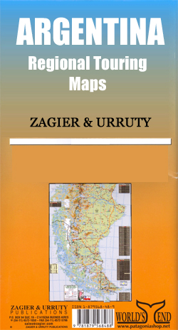
Road maps of Patagonia and its most visited areas, including Tierra del Fuego, with most titles extending over to the Chilean side of the border. Cartography varies from the example shown here; some titles use satellite imagery as the background, enhanced by colouring to provide a very vivid picture of the terrain, whilst other maps
Switzerland: Hallwag 50K Hiking Atlases
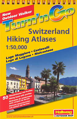
Spiral-bound atlases, each with 50 specially selected hiking tours shown with route profiles. The routes are graded according to the difficulty of the terrain and clearly distinguished from other local hiking paths. The atlases are arranged so that each page of mapping is shown together with a page listing the routes with grading, total and
French Guiana: IGN 25K Topographic Survey Maps

Topographic survey of the coastal part of French Guiana, published as an extension of IGNโ€s survey of France to its overseas departments. Contours are at 5m intervals and the maps indicate 13 different types of vegetation and land use, including rain forest, brushwood, savanna, high and low mangrove, rice fields, orchards and plantations, etc. The
Europe: Freytag & Berndt Sectional Road Maps

Europe on touring maps from Freytag & Berndt, conveniently grouping together large chunks of the Continent. Cartography varies as the series is currently being revised – new editions show more details of the road network, more place names, and come with a booklet containing an index and street plans of main cities.*For more information see
Crossbill Guide Foundation Nature Guides

Nature guides to ecologically important regions of Europe from the Crossbill Guides Foundation, with each title combining extensive information about the regionโ€s eco-system with routes to explore the area on foot, by bike or by car.The Crossbill Guides Foundation, based in the Netherlands, is a non-profit organization dedicated to increasing public involvement with nature conservation.
Australia: Hema City to City Road Maps
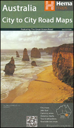
Hemaโ€s City to City range of very popular touring maps presents roads connecting Australiaโ€s main centres of population along some of the countryโ€s most spectacular routes such as the Great Ocean Road or the Savannah Way. The maps highlight 24-hour fuel supplies, roadside rest areas, camping facilities, places of interest, etc., and include distance charts
Luxembourg: 20K Topographic Tourist Maps
Luxembourg on 10 maps in the countryโ€s detailed topographic survey at 1:20,000 from the Administration du Cadastre et de la Topographie. The maps have contours at 5-metres intervals enhanced by additional hill shading. An overprint highlights long-distance footpaths, cycle tracks, and various places of interest, e.g. tourist information offices, campsites, hostels, climbing sites, golf courses,
Australia: Hema State Road Maps
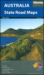
Australiaโ€s states in a series of indexed touring road maps from Hema presenting the whole state on one side of the map, with on the reverse more detailed coverage of popular areas and/or environs of the main city, a street plan of the town centre of the state capital, plus extensive tourist information.The state maps
Poland/Czech Republic: Hรถfer 200K Road Maps with Historical Place Names
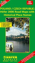
Road maps of areas in Poland and Czech Republic which used to be part of Germany or the Austro-Hungarian Empire, showing both current and the old German place names. In many places former settlements which now no longer exist are also named. Present road and rail networks are supplemented by historical information, e.g. former railway
Australia: UBD Gregory`s State Road Maps

Australiaโ€s states in a series of maps from UDB Gregory`s combining a road map of the whole state with:- in a โ€State and Suburbanโ€ title, a map showing suburbs of the state capital- in a โ€State and Citiesโ€ title, a city centre street plan of the state capital plus street plans of other citiesSome states