Category Archives: Accessories
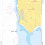
Latvia: Jana Seta 200K Regional Touring Maps
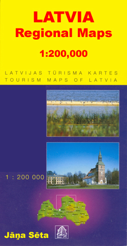
Detailed touring maps of Latvia with street plans of main towns. The maps, produced by Baltic Statesโ€ leading cartographic publisher, Riga based Jana Seta, show the countryโ€s road network indicating unsurfaced roads and mark locations of petrol stations. Railway lines are shown with stations. Symbols highlight various types of accommodation including campsites, towns and other
USA: Trails Illustrated Maps of National Parks, Forest and Other Recreational Areas
USAโ€s national and state parks or forests and other popular recreational areas in an extensive series of GPS compatible, contoured hiking maps from the National Geographic in their Trails Illustrated imprint. Cartography is based on the US official topographic survey, with additional trails, campsites, etc, plus tourist information.Most titles are now printed on light, waterproof
Art/Shop/Eat Guides
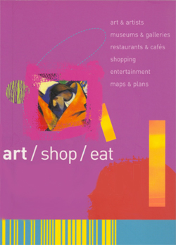
The Art/Shop/Eat guides, from the makers of the popular Blue Guides, are compact city guides with a focus on museums, art galleries & cultural activities, as well as food, drink & entertainment. Each guide is divided into several district sections, and three city-wide sections covering entertainment, trip-planning and an art glossary. District sections each begin
Frommer`s Day by Day Guides
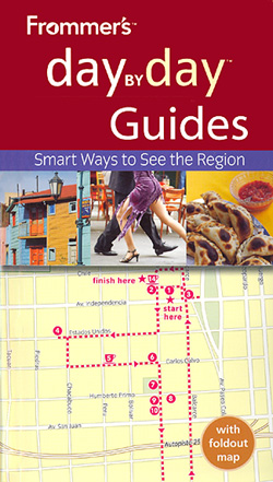
Frommer`s Day By Day Guides are pocket-sized city/region guides ideal for short trips, covering a variety of budgets. The best sights of each destination are listed in convenient full-day tours for one, two or three days such as: thematic tours for interests including art, architecture & history are described, allowing you to get the most
Portugal: Michelin Regional Road Maps
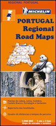
Portugal on three indexed regional touring maps from Michelin at 1:300,000 with street plans of main cities, distance/driving times tables, and cross-referencing to the publishersโ€ Red Guide to hotels and restaurants. Please note: cartography is an enlargement of the publishersโ€ map of the whole of Portugal at 1:400,000, without additional information but in larger print.Topography
Poland: Michelin Regional Road Maps
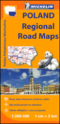
Poland on four large indexed touring maps at 1:300,000 from Michelin, each with city maps of the regionโ€s main towns plus a distance table for the whole country. Road network, graded into seven types, indicates road width, gives driving distances on national and regional roads, and shows locations of fixed speed radars. Railway lines are
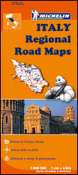
Italy: Michelin 200K Regional Road Maps
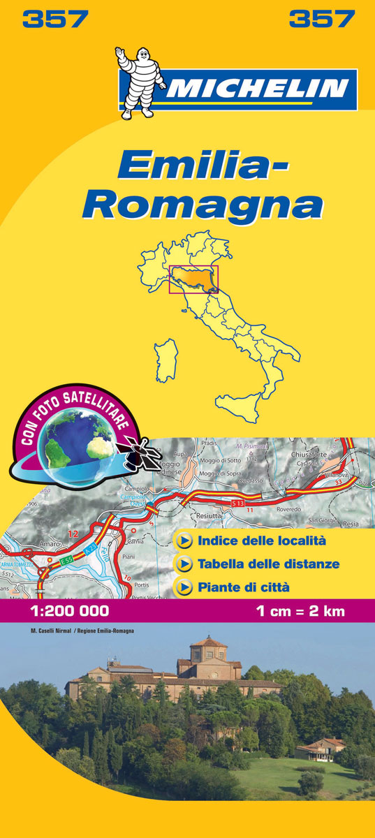
Indexed 1:200,000 scale regional maps of Italy with street plans of main cities. Topography is indicated by bold relief shading with spot heights and colouring for forested areas. Detailed road information, characteristic of Michelinโ€s maps, includes toll and free sections of motorways, road widths, difficult or dangerous roads, restrictions and seasonal closures, steep gradients, level
Spain: Michelin Zoom Espaรฑa Road Maps

Spainโ€s popular tourist areas on a series of indexed maps from Michelin with exceptionally detailed presentation of the road network on a clear but informative base providing topographic information. Each title includes street plans of city centres in its main towns.Clear base, with subtle but effective relief shading, spot heights and colouring for wooded areas,
Spain: Editorial Piolet Hiking Maps
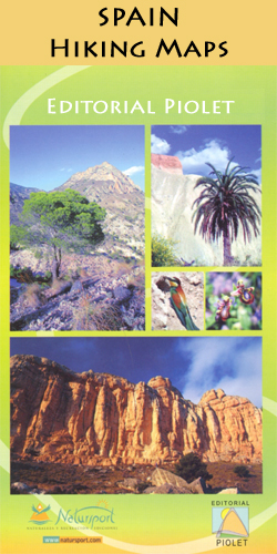
Catalonia and selected other areas of Spain in a series GPS compatible maps from Editorial Piolet with cartography based on the countryโ€s civilian topographic survey overprinted with hiking routes and other tourist information. Unless indicated to the contrary in the individual description, the maps have contours at 10m intervals, enhanced by relief shading and/or altitude
Italy: Michelin 400K Touring Maps
Italy on four touring maps at 1:400,000 from Michelin with enlargements showing road access to main cities and/or street plans of city centres, an index and a distance table. The maps also indicate locations with street plans in the publishersโ€ Red Guide to hotels and restaurants in Italy.Relief shading with spot heights and colouring for
India: Reise Know-How Regional Road Maps
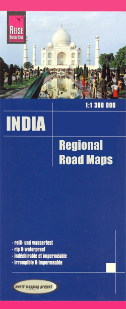
India on indexed, waterproof and tear-resistant road maps with topographic and tourist information, published by Reise Know-How as part of their highly acclaimed World Mapping Project. The maps are double-sided to provide the best balance between a good scale and a convenient size sheet.The maps have altitude colouring with spot heights and names of hills
Australia: UBD Gregory`s Regional Road Maps
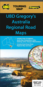
A series of touring maps from UBD Gregory`s presenting Australiaโ€s popular tourist regions with street plans of their main towns. In each title the main road map is relatively small, often covering less than half of one side of the sheet. The map is usually indexed, highlights main places of interest, and indicates which areas
South Africa: InfoMap Touring Maps
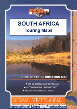
South Africaโ€s main tourist regions with GPS coordinates for selected road junctions, villages and accommodation. Rather basic cartography, with bold elevation tinting, spot heights and rivers (often without names), is designed to highlight the road network and the coordinates provided on the maps. Each map gives GPS waypoints for selected road junctions, small towns or
Spain: 50K Canary Islands Civilian Topographic Survey
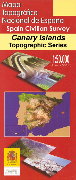
Topographic coverage of the Canary Islands at 1:50,000 in the MTN50 (Mapa Topogrรกfico Nacional) series from the Instituto Geogrรกfico Nacional – Centro Nacional de Informaciรณn Geograficรก, Sapin`s civilian survey organization. The MTN50 series was begun in late 1990s.The maps have contours at 20m intervals, enhanced by relief shading, plus colouring and/or graphics to show different
Finland: Karttakeskus Topographic Hiking Maps
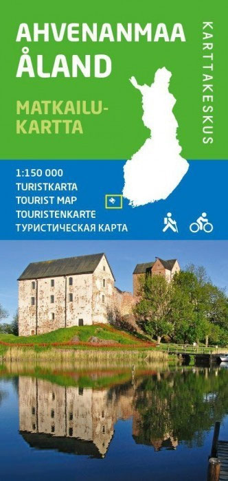
Finlandโ€s hiking and outdoor leisure areas on special tourist maps from Karttakeskus, the countryโ€s national survey organization. Excellent use of colours, shading and symbols provides a very detailed picture of the terrain and vegetation. Extensive overprint highlights routes for hiking, and/or other outdoor pursuits, a wide variety of accommodation, from hotels and holiday villages to
Mexico: ITMB Regional Road Maps
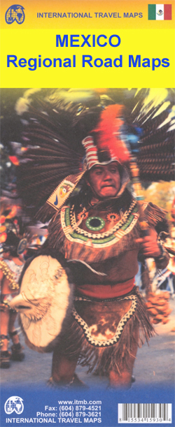
Mexico on touring maps from ITMB, dividing the country both north/south and into a series of more detailed regional maps. Street plans are included in some titles. The maps have altitude colouring with spot heights for major peaks and show deserts, swamps, national parks, etc. Road network with minor roads and tracks, railways, and the
France: Rando Ed. Guides to the Way of St James to Compostela
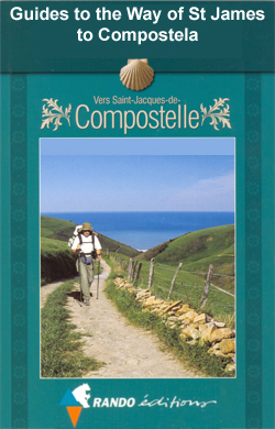
Guides to the various routes of the Way of St. James across France. Written in accessible, easy to follow French, the guides provide all the essential practical information and full details of various types of accommodation along the route, including gรฎtes dโ€รฉtape and campsites. The routes are divided into daily sections of various lengths according
Spain: CNIG Topographic Maps of Popular Scenic Areas
National or natural parks and other scenic areas of Spain on GPS compatible maps from IGN/CNIG, the countryโ€s civilian survey organization, with cartography of their topographic survey mapping and additional overprint for hiking trails and other tourist information.All the maps are contoured and have GPS coordinates โ€“ additional overprint varies, but most maps highlight local
China: GiziMap Regional Maps
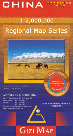
China in a series of five indexed maps at 1:2,000,000 from Gizi Map with attractive presentation of the country`s varied topography. Names of main towns are also in Chinese alphabet, and in Tibet local Tibetan names are also shown.Bold altitude colouring, with spot heights and names of mountain ranges and other geographical features, provides an
Tanzania: Harms Verlag Maps of National Parks and Conservation Areas
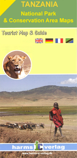
Tanzaniaโ€s protected areas in an excellent series of detailed maps from Harms Verlag, a German publisher specializing in coverage of the country. All titles are contoured, indicate various types of terrain and/or vegetation, and carry plenty of tourist information. The maps provide a good supplement for their very attractive map of the whole of Tanzania.*For