Category Archives: Accessories
Poland: WZKart Hiking Maps
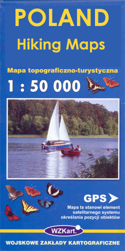
Recreational maps from Polandโ€s Army Cartographic Service. The maps use as their base the military topographic survey, with contours at intervals varying from 5m to 20m according to the terrain and contoured depths shown on lakes. An overprint highlights waymarked hiking, cycling and canoeing routes. A wide range of symbols indicate various sport and recreational
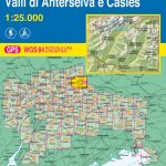
Italy: IGA 25K Hiking Maps of Central Italy

Central Italy on a series of contoured, GPS compatible hiking maps at 1:25,000 from the Istituto Geografico Adriatico, covering mainly the spine of the Apennines along the borders of Tuscany, Emilia-Romagna, Umbria and the Marches.The maps have contours at 25m intervals with additional shading and numerous spot heights. Colouring indicates different types of land use,
Germany: Alpenverein/Bavarian Survey 25K Hiking Maps

German Alps in a series of highly detailed, GPS compatible hiking maps at 1:25,000 published by the Deutscher Alpenverein, the German Alpine Club, with cartography of the German topographic survey from the Bavarian state survey organization. The maps use the surveyโ€s excellent detailed cartography with contours at 20m intervals, shading and graphic relief for exposed
Rother Walking Guides
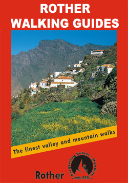
Rother Walking Guides were first published in 1920- since then Bergverlag Rother have continued to produce these comprehensive guides to โ€the finest valley and mountain walksโ€.Each book has a detailed description of walks, small walking maps and many tips on combining the walks, places of interest, accommodation and public transport; the guides are all in
Michelin `Must Sees` Guides
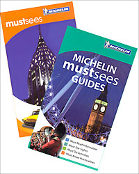
Michelinโ€s โ€Must Seesโ€ series is a collection of lightweight guides containing must see information, must see sights, must do activities and must know practicalities graded using Michelinโ€s time-honoured star rating system.The guides open with a section of useful โ€Must Knowโ€ information that includes a calendar of events, practical tips on getting by and a summary
Panorama Editions
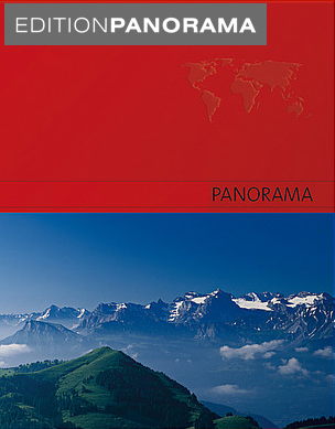
Panorama Editionsโ€ series comprises a range of single destination titles featuring an especially chosen selection of fifty full spread panoramic colour photographs of eye-catching, interesting and beautiful subject matters, often away from the main tourist routes. Panoramic celebrations illustrate better and lesser known countries, cities and regions of the world; realizing in print the touristic
Moon `Spotlight` Guides

The Moon Spotlight guide series covers a range of specific local cities, districts, areas and regions in North, Central and South America and is targeted at those seeking to travel to a specific area within a country. Each of the guides has been extracted in full from the relevant country *Moon Handbook* and individual titles
Spain: The Way of St James 50K Topographic Survey Maps
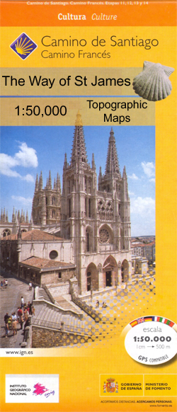
Camino de Santiago from the Pyrenees to Santiago de Compostela on double-sided topographic maps at 1:50,000 from the Spanish civilian survey organization, overprinted with the route and sights, plus information of accommodation and other facilities, route profiles, etc.Each 1:50,000 map is double-sided and has four 57 x 35cm panels with full topographic mapping of the
Moon Outdoor Guides
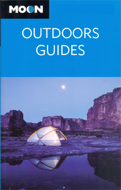
The Moon Outdoor Guides series explores a wide range of outdoor activities – including camping, biking fishing and hiking – in a number of various American states and regions. Moon is one of Americaโ€s leading travel publishers and its outdoor guides often cover areas and activities that are not covered by other publishers. Its editorial
National Geographic Traveler Guides
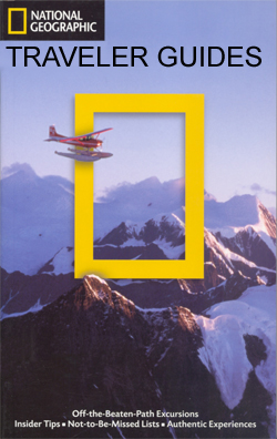
The National Geographic Traveler guide series, produced by Americaโ€s leading travel publishers, explores a range of cities, regions and countries worldwide and uses the expertise and tradition of National Geographic to provide a comprehensive survey of each destination. Each of the guides in the series draws upon National Geographicโ€s rich history of travel experience and
National Geographic USA National Parks Guides
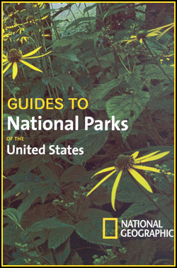
The National Geographic National Parks guide series comprises a selection of titles dedicated to the National Parks of the United States. Each of the titles in the series covers a different region of America and explores the areaโ€s parks; providing a comprehensive survey for visitors. An introductory chapter profiles the regionโ€s parks and provides practical
Chile: Trekkingchile Hiking and Exploration Maps
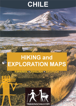
Popular areas of Chile in a series of contoured, GPS compatible trekking and exploration maps at various scales form Trekkingchile. The maps are annotated with tourist information and most titles include a street plan of the regionโ€s main town. Many are illustrated with drawings of local fauna or flora.All the maps use satellite imagery as
France: IGN Thematic Tourist Maps
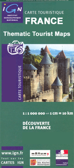
Various aspects of France on thematic tourist maps published by the IGN using their general road map of the country as a base. Only titles currently listed on our website are still available in this once extensive series aiming to present Franceโ€s cultural and historical heritage, opportunities for outdoor pursuits, wine growing areas, etc, For
Lonely Planet City Guides

The City Guide Series from Lonely Planet profiles in comprehensive detail the history, major sights, best places to eat, nightlife, accommodation and shopping to an extensive range of cities worldwide. Frank and informal in style, the guides are renowned for their appeal to independent travellers and are written and researched by local authors. Each guide
Lithuania: Jana Seta 200K/250K Regional Touring Maps
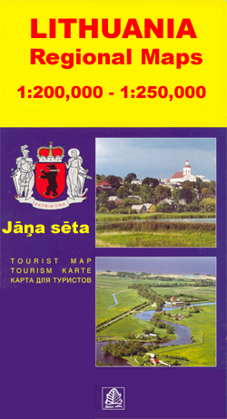
Detailed touring maps of Lithuania with street plans of main towns. The maps, produced by Baltic Statesโ€ leading cartographic publisher, Jana Seta, show the countryโ€s road network indicating three different kinds of unsurfaced roads and mark locations of petrol stations. Railway lines are shown with stations. Symbols highlight various types of accommodation including campsites, towns
Netherlands: ANWB 50K Cycling Maps
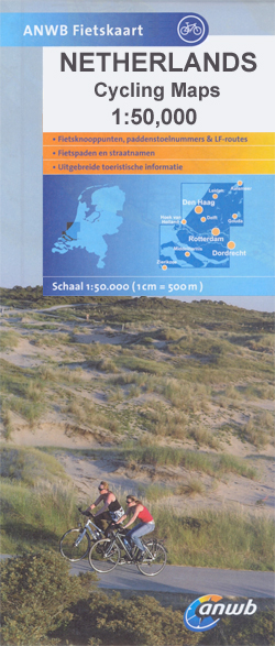
Netherlandโ€s network of sign-posted cycling routes on double-sided maps at 1:50,000 from ANWB, the countryโ€s main motoring and touring organization. Netherlandโ€s extensive network of cycling routes, including the LF long-distance cycle paths, consists of numbered junctions joined by sign-posted connecting routes in either direction. At each junction there is an information panel showing an overview
Latvia: Jana Seta 200K Regional Touring Maps
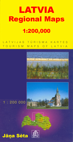
Detailed touring maps of Latvia with street plans of main towns. The maps, produced by Baltic Statesโ€ leading cartographic publisher, Riga based Jana Seta, show the countryโ€s road network indicating unsurfaced roads and mark locations of petrol stations. Railway lines are shown with stations. Symbols highlight various types of accommodation including campsites, towns and other
USA: Trails Illustrated Maps of National Parks, Forest and Other Recreational Areas
USAโ€s national and state parks or forests and other popular recreational areas in an extensive series of GPS compatible, contoured hiking maps from the National Geographic in their Trails Illustrated imprint. Cartography is based on the US official topographic survey, with additional trails, campsites, etc, plus tourist information.Most titles are now printed on light, waterproof
Art/Shop/Eat Guides

The Art/Shop/Eat guides, from the makers of the popular Blue Guides, are compact city guides with a focus on museums, art galleries & cultural activities, as well as food, drink & entertainment. Each guide is divided into several district sections, and three city-wide sections covering entertainment, trip-planning and an art glossary. District sections each begin
Frommer`s Day by Day Guides

Frommer`s Day By Day Guides are pocket-sized city/region guides ideal for short trips, covering a variety of budgets. The best sights of each destination are listed in convenient full-day tours for one, two or three days such as: thematic tours for interests including art, architecture & history are described, allowing you to get the most