Category Archives: Accessories
Stanfords Travel Classics
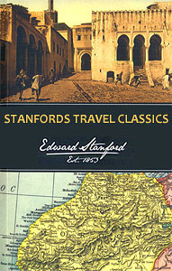
Stanfords Travel Classics were originally compiled by us, as a specialist travel bookseller, to highlight some of the classic, life-changing travel tales of the past. Beaufoy Books now produce the fine collection of historical travel literature with the endorsement of our name. Editions have been republished using striking contemporary designs, demonstrating that this historical writing
New Zealand: Kiwimaps District Road Maps with Street Plans
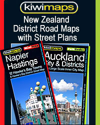
New Zealand in a series of titles from Kiwimaps Ltd, each combining a detailed road map with street plans of local towns, all with road and street indexes. The maps are published in two formats: handy Pocket Maps or Pathfinders with, as the publishers put it โ€Larger print so you donโ€t squintโ€.The road maps, typically
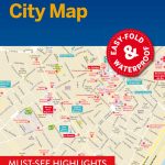
Thomas Cook City Spot Guides
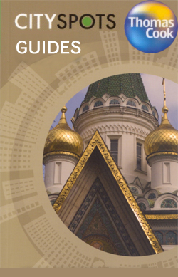
The Thomas Cook City Spots guide series comprise a range of handy, pocket-sized guides covering a comprehensive range of international cities. Each of the guides in the series identifies the cityโ€s most entertaining highlights and principal attractions, helping visitors decide what to do in a limited time. The guides are aimed at those planning city
Switzerland: Hallwag 50K Outdoor Maps
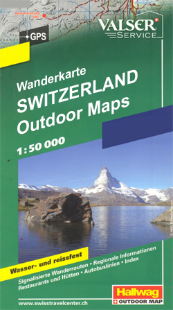
Switzerlandโ€s popular hiking areas on light, waterproof and tear-resistant maps from Hallwag highlighting long-distance paths: the nine national routes plus special regional routes, as well as other local hiking trails. Cartography is similar to that used both in Hallwagโ€s hiking atlases and in the walking series from Kรผmmerly + Frey at 1:60,000 covering the whole
Imray Yachtsman`s Pilots
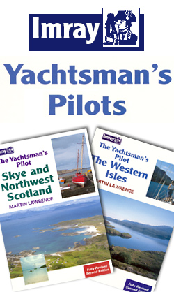
Imrayโ€s series of Yachtsmanโ€s Pilots are excellent on-board companions as useful references for wherever youโ€re sailing. Using the same cartographic charts available in their other publications, these editions also include full-colour throughout which brings clarity to both photographs and harbour plans.The Pilots themselves are written by some of the most experienced yachtsmen in the world,
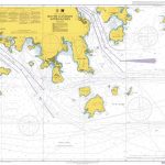
Imray UK small-format charts: 2300 series: Dorset & Devon Coasts
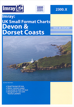
Imrayโ€s 2000-series small format UK charts are comprehensive and easy-to-use sailing charts for popular British waters. Published as small (A2) sheets on rip-proof, waterproof paper, they are ideal for use on small tables or in cockpits. They show detailed coastline and depth information, and are constantly corrected to reflect latest information. Designed primarily for yachtsmen,
Imray UK small-format charts: 2100 series: Kent & Sussex Coasts
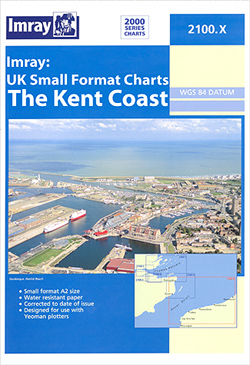
Imrayโ€s 2000-series small format UK charts are comprehensive and easy-to-use sailing charts for popular British waters. Published as small (A2) sheets on rip-proof, waterproof paper, they are ideal for use on small tables or in cockpits. They show detailed coastline and depth information, and are constantly corrected to reflect latest information. Designed primarily for yachtsmen,
Great Britain: Cassini Past and Present Historical Series
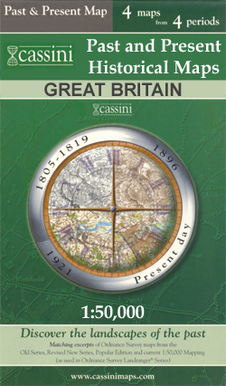
The Cassini Past and Present map series covers town and cities of England and Wales and offers a unique way of tracing their history and expansion by showing four different periods of their development using Ordnance Survey mapping from the mid-19th century, the late 19th century, the 1920s and the present day.Each Past and Present
Imray UK small-format charts: 2200 series: The Solent
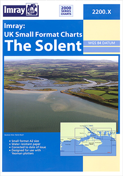
Imrayโ€s 2000-series small format UK charts are comprehensive and easy-to-use sailing charts for popular British waters. Published as small (A2) sheets on rip-proof, waterproof paper, they are ideal for use on small tables or in cockpits. They show detailed coastline and depth information, and are constantly corrected to reflect latest information. Designed primarily for yachtsmen,
London: Future Mapping Company Wall Maps with Cycling Routes
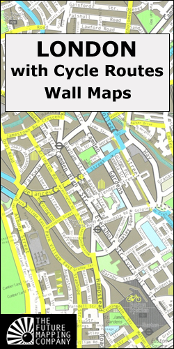
London on large, glossy and high quality street plans designed to provide an innovative and strikingly beautiful alternative to conventional street mapping whilst at the same time highlighting cycling routes across the capital.The plans, published by the Future Mapping Company, very effectively use combinations of colour and graphics to indicate various types of land use
Imray UK small-format charts: 2400 series: The West Country
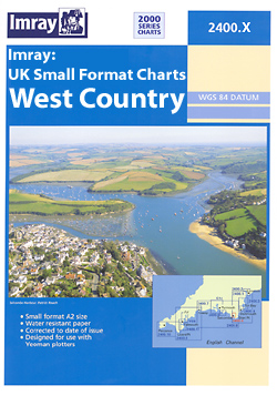
Imrayโ€s 2000-series small format UK charts are comprehensive and easy-to-use sailing charts for popular British waters. Published as small (A2) sheets on rip-proof, waterproof paper, they are ideal for use on small tables or in cockpits. They show detailed coastline and depth information, and are constantly corrected to reflect latest information. Designed primarily for yachtsmen,
Michelin `Must Sees` Guides
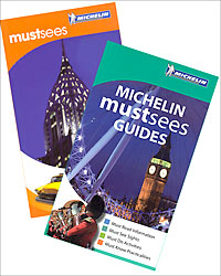
Michelinโ€s โ€Must Seesโ€ series is a collection of lightweight guides containing must see information, must see sights, must do activities and must know practicalities graded using Michelinโ€s time-honoured star rating system.The guides open with a section of useful โ€Must Knowโ€ information that includes a calendar of events, practical tips on getting by and a summary
Panorama Editions
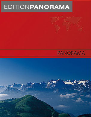
Panorama Editionsโ€ series comprises a range of single destination titles featuring an especially chosen selection of fifty full spread panoramic colour photographs of eye-catching, interesting and beautiful subject matters, often away from the main tourist routes. Panoramic celebrations illustrate better and lesser known countries, cities and regions of the world; realizing in print the touristic
Moon `Spotlight` Guides

The Moon Spotlight guide series covers a range of specific local cities, districts, areas and regions in North, Central and South America and is targeted at those seeking to travel to a specific area within a country. Each of the guides has been extracted in full from the relevant country *Moon Handbook* and individual titles
Spain: The Way of St James 50K Topographic Survey Maps
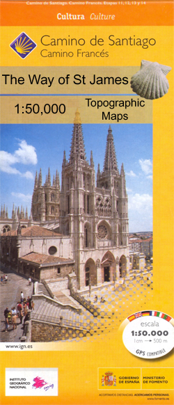
Camino de Santiago from the Pyrenees to Santiago de Compostela on double-sided topographic maps at 1:50,000 from the Spanish civilian survey organization, overprinted with the route and sights, plus information of accommodation and other facilities, route profiles, etc.Each 1:50,000 map is double-sided and has four 57 x 35cm panels with full topographic mapping of the
Moon Outdoor Guides
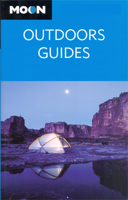
The Moon Outdoor Guides series explores a wide range of outdoor activities – including camping, biking fishing and hiking – in a number of various American states and regions. Moon is one of Americaโ€s leading travel publishers and its outdoor guides often cover areas and activities that are not covered by other publishers. Its editorial
National Geographic Traveler Guides
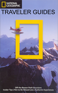
The National Geographic Traveler guide series, produced by Americaโ€s leading travel publishers, explores a range of cities, regions and countries worldwide and uses the expertise and tradition of National Geographic to provide a comprehensive survey of each destination. Each of the guides in the series draws upon National Geographicโ€s rich history of travel experience and
National Geographic USA National Parks Guides
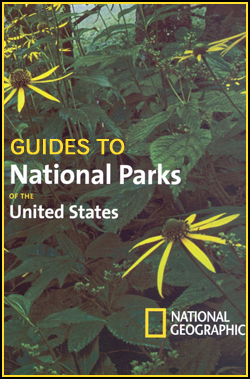
The National Geographic National Parks guide series comprises a selection of titles dedicated to the National Parks of the United States. Each of the titles in the series covers a different region of America and explores the areaโ€s parks; providing a comprehensive survey for visitors. An introductory chapter profiles the regionโ€s parks and provides practical
Greenland: Saga 500K Maps of Northern Greenland
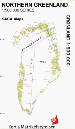
Coverage of the northern coast of Greenland originally produced by the Danish survey organization Kort & Martikelstyrelsen in April 2000 and now printed by Saga Maps. The maps have contours at 100m intervals with spot heights and indicate areas covered by icecap. Local settlements, research stations, airstrips and boundaries of protected areas are marked. The
Canada: ITMB Detailed Road Maps of British Columbia and the Canadian Rockies
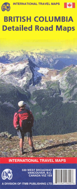
A series of detailed road maps of various regions of British Columbia from the Vancouver-based ITMB, providing both convenient coverage for easy access from Vancouver to the national parks of the Canadian Rockies and detailed mapping of other popular parts of the province including Vancouver Island. Cartography and presentation vary, with most maps using altitude