Category Archives: Accessories
Nepal: Alpenverien Trekking Maps
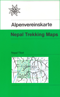
Mount Everest and the Lantang region on maps published by the German and Austrian Alpine Clubs as part of their coverage of areas outside Europe. The maps have contoured topographic base with graphic relief and shading, but carry relatively fewer place names than shown on other maps of the areas covered by them.*For more information
Spain: 50K Balearic Islands Military Topographic Survey
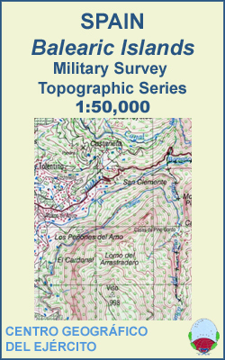
Topographic mapping of the Balearic Islands at 1:50,000 from the Centro Geogrรกfico del Ejรฉrcito, Spainโ€s military survey organization. Relief is shown by contours at 20-metre intervals with spot heights and colouring for different types of vegetation. The maps carry all the usual information shown on a topographic survey at this scale: detailed presentation of the
Europe: Maps International Political Wall Maps
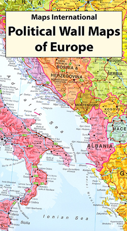
Brightly coloured political maps of the europe available in various sizes.*Presentation:* on paper; encapsulated; with hanging strips.*Sizes:* large (140x107cm at 1:4,300,000 scale), and extra large (191x137cm at 1:3,200,000 scale). Encapsulated maps, and versions with hanging strips may be slightly larger than the sizes quoted above.Countries are shown in vivid colours against light blue oceans. Country
Africa: Maps International Political Wall Maps
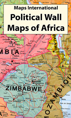
Brightly coloured political maps of Africa at a scale of 1:8,000,000 with insets of Cape Verde, Azores, Seychelles and Mauritius.*Presentation:* on paper; encapsulated; with hanging strips.*Sizes:* 101x121cm – Encapsulated maps, and versions with hanging strips may be slightly larger than this though.Countries are shown in vivid colours against light blue oceans. Country names are in
Antarctica: Maps International Wall Maps
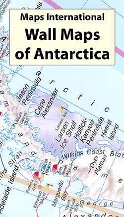
Large political map of Antarctica at a scale of 1:7,000,000 using data supplied by the British Antarctic Survey.*Presentation:* on paper; encapsulated; with hanging strips.*Sizes:* 100x120cm – Encapsulated maps, and versions with hanging strips may be slightly larger than this though.Countries are shown in vivid colours against light blue oceans. Country names are in large, clearly
Asia: Maps International Political Wall Maps
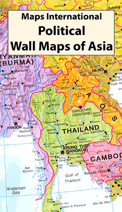
Brightly coloured political maps of Asia at a scale of 1:11,000,000.*Presentation:* on paper; encapsulated; with hanging strips.*Sizes:* 120x100cm – Encapsulated maps, and versions with hanging strips may be slightly larger than this though.Countries are shown in vivid colours against light blue oceans. Country names are in large, clearly legible print. English versions for capitals and
Australasia: Maps International Political Wall Maps
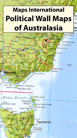
Brightly coloured political maps of Australasia at a scale of 1:7,000,000.*Presentation:* on paper; encapsulated; with hanging strips.*Sizes:* 120x100cm – Encapsulated maps, and versions with hanging strips may be slightly larger than this though.Countries are shown in vivid colours against light blue oceans. Country names are in large, clearly legible print. English versions for capitals and
North America: Maps International Political Wall Maps
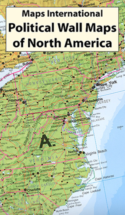
Brightly coloured political maps of North America at a scale of 1:7,000,000.*Presentation:* on paper; encapsulated; with hanging strips.*Sizes:* 100x120cm – Encapsulated maps, and versions with hanging strips may be slightly larger than this though.Countries are shown in vivid colours against light blue oceans. Country names are in large, clearly legible print. English versions for capitals,
South America: Maps International Political Wall Maps

Brightly coloured political maps of South America at a scale of 1:7,000,000 with an inset of the Caribbean at 1:15,000,000.*Presentation:* on paper; encapsulated; with hanging strips.*Sizes:* 100x120cm – Encapsulated maps, and versions with hanging strips may be slightly larger than this though.Countries are shown in vivid colours against light blue oceans. Country names are in
Spain: Kompass Maps of the Canary Islands
The islands of the Canaries on maps from Kompass, Europeโ€s leading publisher of detailed, contoured hiking maps. Excellent also for exploring each island on bike or by car, the maps highlight numerous hiking trails, indicating difficult sections, and show cycle routes. A wide range of symbols indicate various facilities and places of interest, including campsites
Germany: Marco Polo 200K Regional Road Maps

Germany on 13 large regional maps at 1:200,000 in the MairDumontโ€s Marco Polo series, prominently highlighting interesting locations and protected areas. In each title an index booklet attached to the map cover has street plans and access maps of main cities, descriptions of 15 best sights, plus where appropriate plans of main airports and/or exhibition
Canada: ITMB Provincial Road Maps
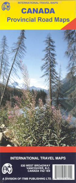
Canadian provinces in a series of double-sided maps from the Vancouver-based ITMB, with topography presented by altitude colouring rather than by relief shading. Tourist information includes places of interest, recreational facilities, etc., and some titles also provide street plans of main towns. *For more information see descriptions of individual titles.*
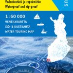
Imray-Tetra Charts: The Mediterranean
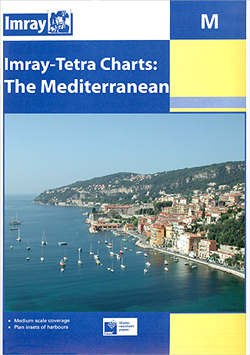
Imrayโ€s series of charts of the Mediterranean are comprehensive and easy-to-use sailing charts published on rip-proof, waterproof paper- ideal for use on small tables or in cockpits. They show detailed coastline and depth information, and are constantly corrected to reflect latest information. Designed primarily for yachtsmen, they are comprehensive without being unnecessarily cluttered. Each chart
World: National Geographic Society Classic Style Political Wall Maps
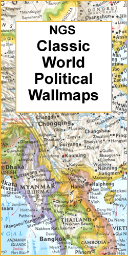
National Geographic Societyโ€s โ€Classicโ€ political maps of the world with the publishersโ€ characteristic lay-out providing an attractive alternative to the more conventional world maps, countries in white but defined by different colour borders, oceans in bright blue, plus interesting additional features. FORMATS – the maps are available on paper or encapsulated for greater durability and
World: National Geographic Society Executive Style Political Wall Maps
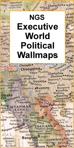
National Geographic Societyโ€s โ€Executiveโ€ series offers current political maps of the world presented in elegant antique style. Countries are in rich but muted colours and oceans in beige, with additional panels and framing in shades of brown.FORMAT & SIZES: the maps are available on paper, encapsulated or framed and in three different sizes: 112 x
World: DMA Physical Wall Maps
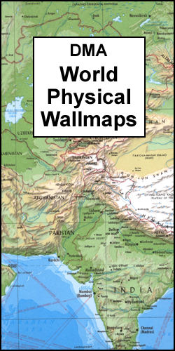
Physical maps of the world regularly featured in numerous style magazines, such as Homes and Gardens and Elle Decoration. Country names and international boundaries are clearly displayed to provide political information. The maps, usually referred to by their publishers` old name of Defense Mapping Agency, are available in three sizes, presented on paper or encapsulated.Fewer
World: IGN Le Monde Politique ou Physique Wall Maps
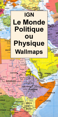
For Francophiles, French language world maps from the Institut Gรฉographique National in either political or physical editions, presented in lovely, bright but not too bold colours. Both versions have the Arctic and the Antarctic shown as insets. All place names are in French.For sizes and more information please see individual descriptions.
World: Maps International Physical Wall Maps
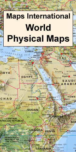
Impressive and informative physical maps of the world which very successfully combine physical relief with vegetation or terrain colouring and well displayed names of countries and their boundaries. Excellent relief shading presents the mountainous areas in almost 3-D effect. Peak symbols help to identify the highest mountain on each continent or in various countries. 18
Stanfords Travel Classics
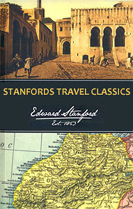
Stanfords Travel Classics were originally compiled by us, as a specialist travel bookseller, to highlight some of the classic, life-changing travel tales of the past. Beaufoy Books now produce the fine collection of historical travel literature with the endorsement of our name. Editions have been republished using striking contemporary designs, demonstrating that this historical writing
New Zealand: Kiwimaps District Road Maps with Street Plans
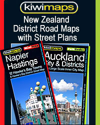
New Zealand in a series of titles from Kiwimaps Ltd, each combining a detailed road map with street plans of local towns, all with road and street indexes. The maps are published in two formats: handy Pocket Maps or Pathfinders with, as the publishers put it โ€Larger print so you donโ€t squintโ€.The road maps, typically