Category Archives: Accessories
Croatia: Kompass 100K Maps of the Dalmatian Coast
The Dalmatian Coast of Croatia and Montenegro on three double-sided, detailed and GPS compatible maps at 1:100,000 from Kompass, available either separately or as a set. Combined coverage of the three maps extends from Rijeka to the Albanian border.The maps have contours at 40m intervals, enhanced by relief shading and spot heights. Road network includes
World Flags
Flags are a great way to show some national pride, pay homage to a fondly remembered visit abroad, celebrate a special occasion, or simply decorate the wall of your room. Stanfords offer flags for most countries of the world, and some special non-country flags too.These flags measure 152 x 92cm (5` x 3`), are made
World Flags (small)
Flags are a great way to show some national pride, pay homage to a fondly remembered visit abroad, celebrate a special occasion, or simply decorate the wall of your room.These flags measure 92 x 61cm (3โ€x 2โ€), are made from 100% polyester and come with two brass eyelets for fastening. Stanfords also offers a [LINK:1976|caption:very
Finland: Karttakeskus 250K/400K Outdoor Maps
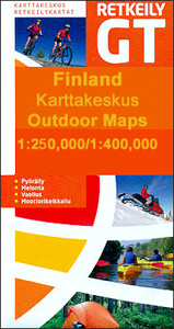
Finland on four double-sided recreational outdoor maps from Karttakeskus with both national and local cycling routes, plus extensive tourist information including different types of accommodation. The southern part of the country is covered at 1:250,000, with the north at 1:400,000.An overprint prominently highlights both national and local waymarked cycling routes, indicating unsurfaced sections, intermediate distances
France: Chamina Maps of Long-distance Mountain Bike Routes
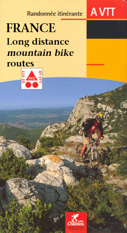
Long-distance off-road cycling routes across Franceโ€s mountainous regions presented on 1:50,000 topographic survey maps. Each title is a boxed set of separate loose pages with a map and other information for one stage, plus a booklet with practical tips, accommodation addresses, etc. for the whole route.The stage pages show the route overprinted on the IGNโ€s
Italy: MairDumont Marco Polo 200K Regional Road Maps

MairDumont`s Marco Polo regional series of Italy at 1:200,000 with special features to aid navigation and route planning. An extensive index in a separate booklet includes a street plan of the central area in each regionโ€s main city.A fold-out extension of the map cover gives at-a-glance overview of the whole area covered by the map
Footprint Italia Guides

The Italia series from Footprint comprises of a range of titles dedicated to the regions of Italy and designed for independent travellers who like exploring off the beaten track. Footprint guides have an established reputation, built up since 1921, for catering for more adventurous and individual travellers. Each author has travelled extensively to provide unique
Spain: Kompass Maps of the Balearic Islands
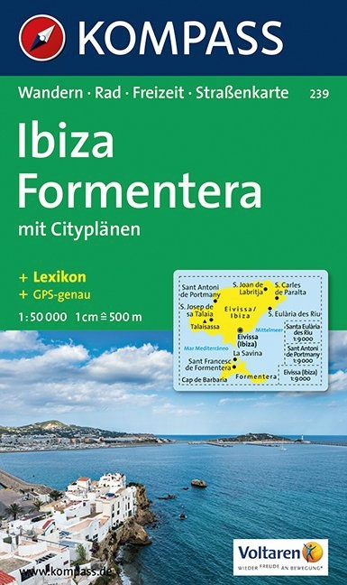
Balearic Islands on maps from Kompass, Europeโ€s leading publisher of detailed, contoured hiking maps. Excellent also for exploring each island on bike or by car, the maps highlight numerous hiking trails, indicating difficult sections, and show cycle routes. A wide range of symbols mark various facilities and places of interest, including campsites and youth hostels,
Slovenia: Kompass 75K Hiking and Cycling Maps
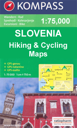
Northern Slovenia and the countryโ€s coast, including the Trieste area, at 1:75,000 on GPS compatible, double-sided recreational maps from Kompass, with hiking and cycling routes plus extensive tourist information. Cartography, different in style to that used in Kompassโ€s extensive hiking series covering other parts of Europe, has contours at 20m intervals, although faint colouring means
Russia: Topographic Maps of Elbrus and Western Caucasus
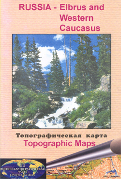
Mount Elbrus and the Russian part of the western Caucasus Mountains in a series of detailed topographic survey maps from one of the Russian Army Cartographic Units, with all place names in the Cyrillic alphabet. All the maps are contoured, with peak heights and colouring/graphics for rocky outcrops, snow covered or exposed ice fields, glaciers,
Discovery Walking Guides: Day Walks and Long Distance Guide Books

Discovery Walking Guidesโ€ guide books cover day walks and long distance trails, with a depth of information giving you all you need for your walk, including map extracts, difficulty ratings and full-colour photos or illustrations.Most guides include GPS waymarked walking points, an extensive introduction provides information on the routes themselves, when to go, flora and
Germany: Alan Godfrey Reproductions of British War Office WWII Maps of the Rhineland
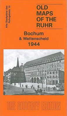
Alan Godfrey`s reproductions of the British War Office survey maps of first published in 1945 prior to the Allied occupation of the area, showing the region largely as it was before the bombing raids of 1943/1944. The series covers the major industrial area east of the Rhine that includes Bochum, Cologne, Dortmund, Essen, Gelsenkirchen, Oberhausen
Mexico: NGS Adventure Maps
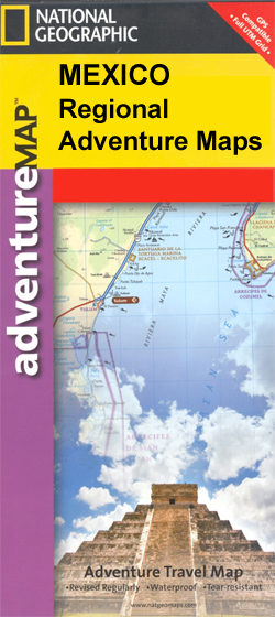
Three of Mexicoโ€s most visited areas, north and south Baja California and northern Yucatan on waterproof and tear-resistant adventure maps from the National Geographic Society, each with street plans and tourist information.The maps provide excellent, detailed presentation of the topography and are GPS compatible with a UTM grid and margin ticks for latitude and longitude.
Australasia: Maps International Political Wall Maps
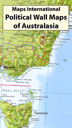
Brightly coloured political maps of Australasia at a scale of 1:7,000,000.*Presentation:* on paper; encapsulated; with hanging strips.*Sizes:* 120x100cm – Encapsulated maps, and versions with hanging strips may be slightly larger than this though.Countries are shown in vivid colours against light blue oceans. Country names are in large, clearly legible print. English versions for capitals and
North America: Maps International Political Wall Maps
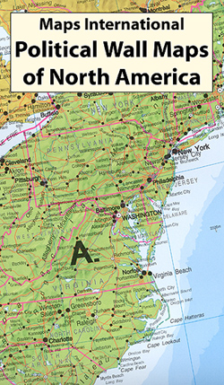
Brightly coloured political maps of North America at a scale of 1:7,000,000.*Presentation:* on paper; encapsulated; with hanging strips.*Sizes:* 100x120cm – Encapsulated maps, and versions with hanging strips may be slightly larger than this though.Countries are shown in vivid colours against light blue oceans. Country names are in large, clearly legible print. English versions for capitals,
South America: Maps International Political Wall Maps

Brightly coloured political maps of South America at a scale of 1:7,000,000 with an inset of the Caribbean at 1:15,000,000.*Presentation:* on paper; encapsulated; with hanging strips.*Sizes:* 100x120cm – Encapsulated maps, and versions with hanging strips may be slightly larger than this though.Countries are shown in vivid colours against light blue oceans. Country names are in
Spain: Kompass Maps of the Canary Islands
The islands of the Canaries on maps from Kompass, Europeโ€s leading publisher of detailed, contoured hiking maps. Excellent also for exploring each island on bike or by car, the maps highlight numerous hiking trails, indicating difficult sections, and show cycle routes. A wide range of symbols indicate various facilities and places of interest, including campsites
Germany: Marco Polo 200K Regional Road Maps

Germany on 13 large regional maps at 1:200,000 in the MairDumontโ€s Marco Polo series, prominently highlighting interesting locations and protected areas. In each title an index booklet attached to the map cover has street plans and access maps of main cities, descriptions of 15 best sights, plus where appropriate plans of main airports and/or exhibition
Belgium: 100K Provincial Survey Maps
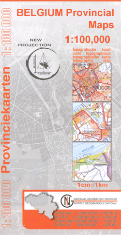
Administrative provinces of Belgium at 1:100,000 on GPS compatible topographic maps from the Nationaal Geografisch Instituut/Institut Gรฉographique National, the countryโ€s national survey organization, each with a separate index booklet covering the whole country.Described by the publishers as a topographic series, the maps do carry all the information expected of topographic mapping at this scale, but
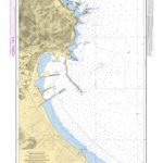
Imray-Tetra Charts: Greece & Turkey
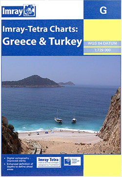
Imrayโ€s series of charts of Greece and Turkey are comprehensive and easy-to-use sailing charts published on rip-proof, waterproof paper- ideal for use on small tables or in cockpits. They show detailed coastline and depth information, and are constantly corrected to reflect latest information. Designed primarily for yachtsmen, they are comprehensive without being unnecessarily cluttered. Each