Category Archives: Accessories
Great Britain: Vertebrate Mountain Biking Guides
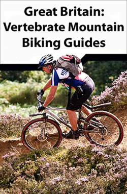
Vertebrateโ€s guides to mountain biking in Great Britain cover recommended mountain bike trails, routes and rides ranging from 6km to 290km while the routes themselves have been devised and tested by local riders.In every guide routes are described with easy-to-follow instructions, information on difficulty, length, nearest refreshments (usually a recommended pub), altitude profile, and parking.
Baedeker Guides
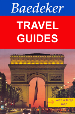
A long standing feature on the travellerโ€s shelf, the very term โ€Baedekerโ€ has been synonymous with โ€travel guideโ€. Baedeker divides the main section of their guides into four categories – background, practicalities, tours and A-Z of sites. Each guide is introduced by a double spread of sightseeing highlights and special Baedeker best tips. The background
Great Britain: A-Z Visitors` Maps and Atlases
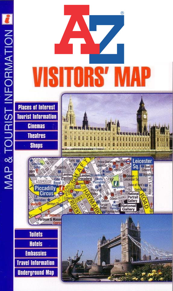
Popular holiday areas of England in a series of detailed Visitorsโ€ road maps and/or road atlases from Geographers` A-Z Map Company prominently highlighting numerous places of interest, with in most titles street plans of main tourist destinations and an index of both towns/villages and sights/facilities.Where both formats, a folded map and an atlas, are published,
Great Britain: Mountain Bike Routes UK Guides
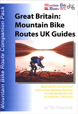
Mountain Bike Routes UKโ€s cycling guides to Great Britain come in a clear plastic wallets with removable route cards; printed in black and white and written in an informal and honest style, Mountain Bike Route UK guides are recommended for those looking for a more personal approach to their cycling guide.Each removable card breaks the
Lonely Planet Travel Literature
The Travel Literature series from Lonely Planet draws upon the publisherโ€s unrivalled experience of travel publishing for over 30 years, exploring the local culture of a range of international destinations, ranging from Holland to New Zealand and Cuba to Japan. Many of the titles examine the destination from a local perspective and authors often experience
Africa: Map Studio Sectional Road Maps
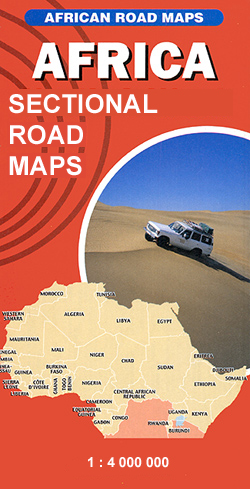
Africa on three very large double-sided route planning maps at 1:4,000,000 from Map Studio, South Africaโ€s leading map publishers, providing an overview of the road network and rail connections, with numerous national parks and other protected areas prominently highlighted. Topography is indicated only by basic marking for deserts and wetlands or swamps, with a few
Lonely Planet Language & Culture Guides
The Language and Culture series from Lonely Planet provides an irreverent view of various languages, revealing the meanings behind everyday native expressions. Written in a humorous style, these pocket-sized guides present a thematic guide to each language through descriptions of vocabulary, colloquiums and slang. Each guide begins with a short history of the language, including
AA 50 Walks Guides
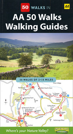
The AA 50 Walks series comprises an extensive range of walking guides helping you to explore the best walking routes in Great Britain. Each guide covers a total of 50 walks, many of which are circular, between 2-10 miles and also that are suitable for a range of different walking standards.Every walk in the guides
Lonely Planet Phrasebooks and Audio CDs
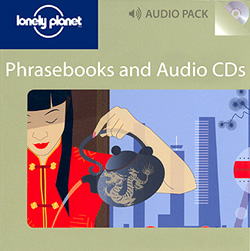
The Phrasebook and CD series from Lonely Planet contains both the ordinary pocket-sized phrasebooks from Lonely Planet and their audio equivalent. Combining the phrasebook with the audio CD allows for improved pronunciation as well as the ability to transfer MP3 files on the CD to a portable media device, such as iPods and iPhones.Each book
Great Britain: Goldeneye Cycling Country Lanes & Traffic-Free Family Routes Maps
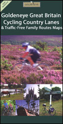
Popular regions of England and Wales on waterproof and tear-resistant, double-sided cycling maps from Goldeneye at 1:100,000 or 1:126,720 (1โ€ to 2 miles) designed to highlight a selection of recommended cycle routes on country lanes and off-road. The maps use altitude colouring to show the topography, with spot heights and plenty of names of geographical
The Really Tiny Booklights
โ€The Really Tiny Book Lightsโ€ clip discreetly onto the pages of your book so you can indulge your late-night reading habits without disturbing others or straining your eyes.These LED book lights even sport a handy neck hinge that allows you to rotate the arm of your reading light a full 90 degrees, allowing you to
Canada: Reise Know-How Regional Road Maps
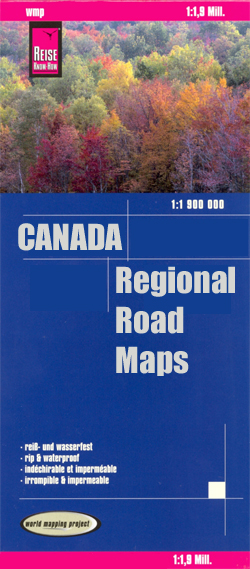
Canada on three indexed, waterproof and tear-resistant road maps with topographic and tourist information, published by Reise Know-How as part of their highly acclaimed World Mapping Project. Each map is double-sided to provide the best balance between a good scale and a convenient size sheet. The maps have altitude colouring with spot heights and plenty
Lonely Planet Fast Talk

The Fast Talk Series from Lonely Planet comprise a selection of handy, pocket-sized language guides designed to be practical and easy to use. Each guide provides essential language for short trips and covers a range of different situations with appropriate vocabulary. There are individual sections entitled Chat, Explore, (sights) Shop, Enjoy, (whatโ€s on and small
Belgium and Neighbouring Regions: Sportoena 50K Cycling Maps
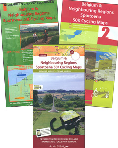
Belgium and the adjoining areas of the neighbouring countries on double-sided cycling maps at 1:50,000 from Sportoena, with local routes, long-distance cycling paths, classification according to the density of traffic, campsites and places of interest, etc.Brightly coloured base and the presentation of the road network differ greatly from what one usually sees on maps at
Italy: Tabacco 25K Maps of the Regional Parks in South Tyrol
Protected areas of South Tyrol (Alto Adige) region of Italy in a series of hiking maps at 1:25,000 from Tabacco, with additional descriptions of geology, fauna and flora, selected routes, etc, all in Italian only, illustrated with numerous photos.The maps have similar cartography to Tabaccoโ€s other, more popular series at 1:25,000, with contours at 25m
France: IGN Maps of Wine Growing Areas
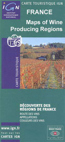
Franceโ€s main wine growing areas on colourful and informative maps from the IGN showing individual vineyards and appellations on detailed road maps of each area. Selected titles are also available as *wall maps.*Most titles have additional information as appropriate to the area covered by them – *please see individual descriptions.*
Croatia: Kompass 100K Maps of the Dalmatian Coast
The Dalmatian Coast of Croatia and Montenegro on three double-sided, detailed and GPS compatible maps at 1:100,000 from Kompass, available either separately or as a set. Combined coverage of the three maps extends from Rijeka to the Albanian border.The maps have contours at 40m intervals, enhanced by relief shading and spot heights. Road network includes
World Flags
Flags are a great way to show some national pride, pay homage to a fondly remembered visit abroad, celebrate a special occasion, or simply decorate the wall of your room. Stanfords offer flags for most countries of the world, and some special non-country flags too.These flags measure 152 x 92cm (5` x 3`), are made
World Flags (small)
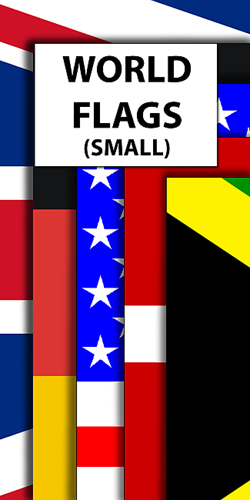
Flags are a great way to show some national pride, pay homage to a fondly remembered visit abroad, celebrate a special occasion, or simply decorate the wall of your room.These flags measure 92 x 61cm (3โ€x 2โ€), are made from 100% polyester and come with two brass eyelets for fastening. Stanfords also offers a [LINK:1976|caption:very
Finland: Karttakeskus 250K/400K Outdoor Maps
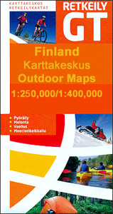
Finland on four double-sided recreational outdoor maps from Karttakeskus with both national and local cycling routes, plus extensive tourist information including different types of accommodation. The southern part of the country is covered at 1:250,000, with the north at 1:400,000.An overprint prominently highlights both national and local waymarked cycling routes, indicating unsurfaced sections, intermediate distances