Category Archives: Accessories
Lonely Planet Thematic, Pictorial & Photography Titles
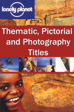
Drawing on over 30 years of travel publishing experience, Lonely Planet publishes a range of thematic and pictorial titles celebrating travel and providing inspiration for future trips away. Many of the guides are heavily illustrated and give advice on particular thematic trips and the best places and times to visit, as well as overviews of
Insight Smart Guides
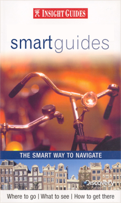
The Smart Guide series from Insight is a streamlined version of travel information, in a smaller, concise format arranged in three sections – Areas, A-Z and Atlas. Areas and districts in and around town are described before the guide moves on to an A-Z detailing of attractions and services, from accommodation to transportation via history
Turkey: Mepmedya Regional Maps

Turkeyโ€s Mediterranean coast, its European part, plus the environs of Istanbul and the region around Ankara in a series road maps from Mepmedya Yayinlari, each in a handy, double-sided format, easy to use when travelling.Most maps are indexed. Cartography varies – *please see individual descriptions for more information.*
USA: NGS Classic Style Wall Maps
United States wall maps in the NGS traditional Classic Style: white background with relief shading for mountains, state boundaries in colour, Great Lakes and the surrounding seas in light blue. Printed in three sizes, available either on paper or encapsulated.The maps show the administrative division of the country, with states boundaries picked out in different
France: Editions du Breil Guides to Inland Waterways
Guides to Franceโ€s navigable rivers and canals from Editions du Breil, providing mapping of the waterways and presentation of the surrounding countryside, including street plans of main towns along the routes. An introductory chapter covers tourist information and identifies the tourist attractions easily accessible from the waterways. A list of tourist offices with their addresses
World: Michelin Political Wall Maps
Political map of the world from Michelin, 144 x 100cm (4โ€7โ€ x 3โ€3โ€ approx.), with pleasant subdued colours of different countries contrasted against light blue oceans, and presented with panels of country flags above and below the map.Country names are in large, clearly legible print. English versions of names are used throughout. Within some larger
The No.1 Ladies` Detective Agency Series
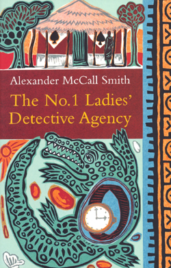
The No.1 Ladies` detective agency series made Alexander McCall Smith a household name in book-reading houses the world over. Featuring Precious Ramotswe – Botswanaโ€s leading, and only, female private detective – the No.1 Ladiesโ€ Detective Agency novels have been adapted for the screen and become undisputed international bestsellers.In this series -1. The No.1 Ladies Detective
Great Britain: A-Z Regional Wall Maps
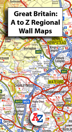
Great Britain on a series of regional wall maps from A-Z at scales adjusted to the more traditional ratios expressed in miles to one inch, with clear presentation of the road network, some topographic information, places of interest, etc. Most titles are at 3 miles to 1โ€, the equivalent of 1:200.000.The publisherโ€s cartography, also used
Great Britain: A-Z Five Miles to One Inch Wall Maps

Wall maps of Great Britain from Geographers` A-Z Map Company for traditionalists who prefer their maps drawn at scales corresponding to the imperial measurements of miles to inches, with colourful presentation of topography and hill heights in feet.At a scale of 1:316,800 (5 miles to 1 inch), each map covers an extra large area, with
Jonglez Guides
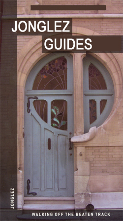
The Jonglez series of guides profiles a range of European cities as well as thematic titles and are designed to explore the undiscovered and hidden attractions usually hidden from tourists. The โ€Secretโ€ titles present a range of sites – including gardens, museums, squares, churches, parks and distinctive architecture – that are often not covered by
Eyewitness `Top 10` Guides
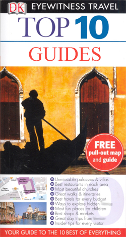
Eyewitness Top 10 from Dorling Kindersley is a condensed format guide book series featuring dozens of illustrated, top ten lists for the traveller regardless of their disposable budget. To save you time and money a top ten things to avoid is also included!Top 10 lists are given for general things to see and do, as
Bradt City Guides
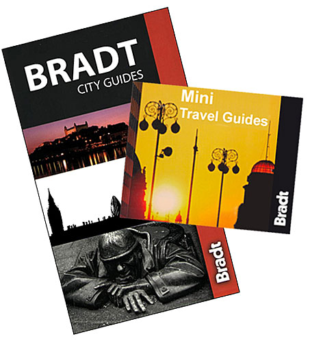
The City Guide series from Bradt covers a range of city destinations, predominantly in Europe, in a pocket-sized format. Bradt are one of the countryโ€s leading independent publishers and have an ethos that focuses on responsible travel, in alliance with a philosophy of sustainability; both in the destinations the guides cover but also in encouraging
Great Britain: Philip`s Navigator Regional Road Atlases
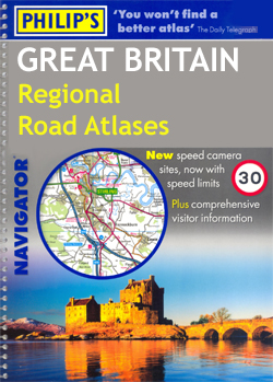
Most of Great Britain on A4, spiral-bound regional road atlases from Philipโ€s, with indexed street plans of city centres and a separate section listing numerous places of interest with brief descriptions. The atlases use the mapping of the publishersโ€ Navigator series recommended by the Institute of Advanced Motorists. Clear base map uses colouring to indicate
Africa: Map Studio Sectional Road Maps
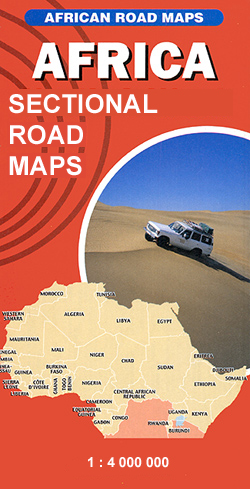
Africa on three very large double-sided route planning maps at 1:4,000,000 from Map Studio, South Africaโ€s leading map publishers, providing an overview of the road network and rail connections, with numerous national parks and other protected areas prominently highlighted. Topography is indicated only by basic marking for deserts and wetlands or swamps, with a few
Lonely Planet Language & Culture Guides

The Language and Culture series from Lonely Planet provides an irreverent view of various languages, revealing the meanings behind everyday native expressions. Written in a humorous style, these pocket-sized guides present a thematic guide to each language through descriptions of vocabulary, colloquiums and slang. Each guide begins with a short history of the language, including
AA 50 Walks Guides
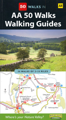
The AA 50 Walks series comprises an extensive range of walking guides helping you to explore the best walking routes in Great Britain. Each guide covers a total of 50 walks, many of which are circular, between 2-10 miles and also that are suitable for a range of different walking standards.Every walk in the guides
Lonely Planet Phrasebooks and Audio CDs
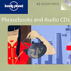
The Phrasebook and CD series from Lonely Planet contains both the ordinary pocket-sized phrasebooks from Lonely Planet and their audio equivalent. Combining the phrasebook with the audio CD allows for improved pronunciation as well as the ability to transfer MP3 files on the CD to a portable media device, such as iPods and iPhones.Each book
Great Britain: Goldeneye Cycling Country Lanes & Traffic-Free Family Routes Maps
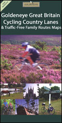
Popular regions of England and Wales on waterproof and tear-resistant, double-sided cycling maps from Goldeneye at 1:100,000 or 1:126,720 (1โ€ to 2 miles) designed to highlight a selection of recommended cycle routes on country lanes and off-road. The maps use altitude colouring to show the topography, with spot heights and plenty of names of geographical
The Really Tiny Booklights
โ€The Really Tiny Book Lightsโ€ clip discreetly onto the pages of your book so you can indulge your late-night reading habits without disturbing others or straining your eyes.These LED book lights even sport a handy neck hinge that allows you to rotate the arm of your reading light a full 90 degrees, allowing you to
Canada: Reise Know-How Regional Road Maps
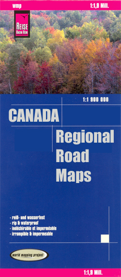
Canada on three indexed, waterproof and tear-resistant road maps with topographic and tourist information, published by Reise Know-How as part of their highly acclaimed World Mapping Project. Each map is double-sided to provide the best balance between a good scale and a convenient size sheet. The maps have altitude colouring with spot heights and plenty