Category Archives: Accessories
Great Britain: A-Z County Street Atlases
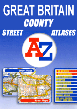
Street atlases of English counties from the Geographers` A-Z Map Company. Most atlases are in a spiral-bound format just smaller than A4 size, and offer coverage of only the built-up areas. Selected titles cover the whole county, as indicated in the individual descriptions and our area coverage images.Motorways plus A and B roads are highlighted
Great Britain: JJM Designs Pub Stops Wall Maps
Pub Stops series of beautifully produced, high quality, colourful and amusing wall maps from JJM Designs adapting the world-famous London Underground map to present the pubs as stops along (pub crawl?) lines. Names of local districts are shown on city maps, with other landmarks including the collages on the two Oxbridge titles. The Lake District
Great Britain & Northern Ireland: Philip`s County Street Atlases
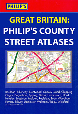
Street atlases from Philipโ€s, covering counties and metropolitan counties of Great Britain and Northern Ireland. Many titles are available in a choice of formats: 19 x 27cm hardback and/or spiral bound versions, plus A-5 size paperback editions.Each atlas provides a continuous coverage of the area and has an index which also lists public or commercial
World: Kรผmmerly + Frey Political Wall Maps
With countries in pleasant pastel colours against light blue seas, these political maps from Kรผmmerly+Frey will appeal to anyone who prefers gentler shades. Subtle relief shading with plenty of names of topographic features provides physical information.FORMAT & SIZES: the maps are available on paper, encapsulated and on pin board or magnetic board and in two
Rough Guide Thematic, Pictorial & Reference Titles
Drawing on over 25 years of travel publishing experience, Rough Guides publish a range of thematic, pictorial and reference titles celebrating travel and providing inspiration for future trips away. Many of the guides give advice on different elements of travel and are influenced by ethical and green considerations. Individual titles are also dedicated to some
Footprint Thematic Destination Guides
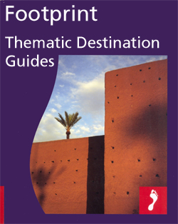
The โ€Thematic Destinationsโ€ series from Footprint explore a range of varied worldwide destinations and are designed and written for independent travellers who enjoy exploring off the beaten track. The guides are designed to provide an insight into particular themes of a destination rather than the country as a whole, and as such are recommended for
Footprint Lifestyle Guides
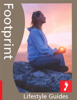
Footprint publish a range of โ€Lifestyle Guidesโ€ comprising of a range of thematic activities, encompassing different kinds of travel and providing ideas for future trips. Individual themes include travelling with children, wine, body and soul retreats, city breaks, travel photography and football grounds. Many of the guides are published as large paperbacks and include practical
Footprint Outdoor Guides
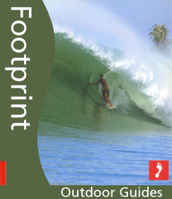
The Outdoor Guides series from Footprint features a range of titles dedicated to various aspects of outdoor life and adventure. Individual books cover skiing, surfing, mountain biking and diving, encompassing a wide range of countries and regions and offering both inspiration and practical guidance for those interested in the outdoors. In addition to focussing on
USA: Benchmark Road and Recreational Atlases of Western USA
The Rockies and the western states of USA in a series of excellent, detailed, GPS compatible state atlases from Benchmark Maps with extensive information on diverse recreational opportunities and facilities. Each atlas consists of three main sections:LANDSCAPE: with detailed mapping at scales around 1:250,000, according to the size of the state. Excellent use of relief
USA: Map Maps Long-Distance Cross-Country Touring Routes
Five routes across the USA: along the Atlantic or the Pacific coasts, east-west across the northern or the southern states, plus Route 66 on maps published by the San Francisco-based Mad Maps. The maps, printed on light, waterproof and tear-resistant synthetic paper, are double-sided and provide in each title a general overview map of the
Canada: Mussio Ventures Backroad Mapbook Guides
Popular tourist regions of British Columbia, the Rockies and Atlantic Provinces in a series of high quality contoured, GPS compatible atlases from Mussio Ventures, with extensive guides to recreational pursuits including hiking, off-road cycling, quad biking, fishing, etc.Each title is in a spiral-bound, A4 format and contains a detailed atlas section with contours excellently enhanced
Time Out Countries Guides
The Countries series from Time Out are comprehensive guides to a range of destinations, exploring the best places to stay, eat and explore. Based on their successful โ€City Guidesโ€ series, Time Out country guides have a similar format and cover an extensive range of activities, entertainment and sightseeing opportunities. Each guide is written by a
Time Out London Guides
The Time Out London Guides series comprises a range of titles dedicated to exploring the capital, celebrating the various attractions the city has to offer – from the biggest things to do, see and explore in the capital to city and country walks. Photographic titles also celebrate the iconic buildings and sites of London.*Please see
Lonely Planet Watching Wildlife Guides
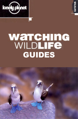
The Watching Wildlife series from Lonely Planet provides a comprehensive guide to observing wildlife in their natural habitats in some of the worldโ€s most diverse areas. The guides cover a wide range of wildlife and include useful practical guidance on discovering whatโ€s there and how to find it, background information on the animals and advice
Lonely Planet Thematic, Pictorial & Photography Titles
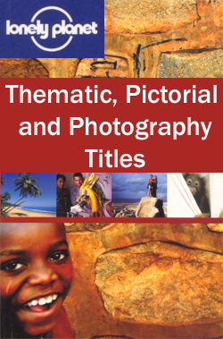
Drawing on over 30 years of travel publishing experience, Lonely Planet publishes a range of thematic and pictorial titles celebrating travel and providing inspiration for future trips away. Many of the guides are heavily illustrated and give advice on particular thematic trips and the best places and times to visit, as well as overviews of
Insight Smart Guides
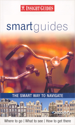
The Smart Guide series from Insight is a streamlined version of travel information, in a smaller, concise format arranged in three sections – Areas, A-Z and Atlas. Areas and districts in and around town are described before the guide moves on to an A-Z detailing of attractions and services, from accommodation to transportation via history
Turkey: Mepmedya Regional Maps

Turkeyโ€s Mediterranean coast, its European part, plus the environs of Istanbul and the region around Ankara in a series road maps from Mepmedya Yayinlari, each in a handy, double-sided format, easy to use when travelling.Most maps are indexed. Cartography varies – *please see individual descriptions for more information.*
USA: NGS Classic Style Wall Maps
United States wall maps in the NGS traditional Classic Style: white background with relief shading for mountains, state boundaries in colour, Great Lakes and the surrounding seas in light blue. Printed in three sizes, available either on paper or encapsulated.The maps show the administrative division of the country, with states boundaries picked out in different
France: Editions du Breil Guides to Inland Waterways
Guides to Franceโ€s navigable rivers and canals from Editions du Breil, providing mapping of the waterways and presentation of the surrounding countryside, including street plans of main towns along the routes. An introductory chapter covers tourist information and identifies the tourist attractions easily accessible from the waterways. A list of tourist offices with their addresses
World: Michelin Political Wall Maps
Political map of the world from Michelin, 144 x 100cm (4โ€7โ€ x 3โ€3โ€ approx.), with pleasant subdued colours of different countries contrasted against light blue oceans, and presented with panels of country flags above and below the map.Country names are in large, clearly legible print. English versions of names are used throughout. Within some larger