Category Archives: Accessories
Crimson Short Walks Guides
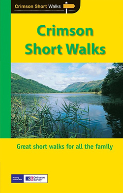
Short Walks Guides, produced in association with Ordnance Survey and published by Crimson, comprise a range of walking guides to popular British destinations. Each title includes 20 varied walks that are suitable for walkers of all ages and abilities and is accompanied by detailed Explorer 1:25,000 Ordnance Survey mapping with colour-coded marked routes.The guides are
Cicerone Lakeland Fellranger Guides
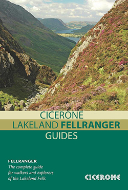
Ciceroneโ€s Lakeland Fellranger series is a modern rucksack reference targeted at those wanting to explore Englandโ€s Lake District. Each title in the series covers a specific area of the Fells and together the eight guides provide a comprehensive survey of the entire Fells region of the Lake District. Revealing the contemporary pattern of fell approaches,
Crimson `Best of Britain` Guides
Crimson Publishingโ€s `Best of Britain` series encompasses a range of guides covering Britainโ€s regions, exploring some of the best places to eat, find organic and local produce, as well as things to do in wet weather, places to stay and local legends, festivals and pubs. The guides are particularly child-friendly, with a range of activities
France: IGN 75K/25K TOP75 Recreational Maps
Selected tourist regions of the France on GPS compatible, contoured TOP 75 maps at 1:75,000 from the IGN, highlighting local and long-distance hiking paths, cycling routes and sites for other recreational activities. Each title includes five large panels with mapping at 1:25,000 to cover its most popular areas in greater detail.Cartography of the main map
New Holland `Best of` Guides
New Hollandโ€s โ€Best ofโ€ฆโ€ series comprise a range of pocket-sized guides exploring a variety of cities worldwide. Designed to be practical, informative and user-friendly, each title in the series presents the highlights of the city concisely, providing a directory of the best places to stay, eat, shop and relax. An overview section provides a brief
USA: Great Pacific Recreation & Travel Maps of the Pacific Northwest
The Pacific Northwest of USA, Oregon and Washington State, in a series of detailed recreational maps from the Great Pacific Recreation & Travel Maps, each with several street plans of local towns, indexes listing recreational facilities, etc.Each map is double-sided and consists of a main road map highlighting, as appropriate, recreational facilities such as campgrounds,
New Holland `Bird` Guides

The โ€Birds ofโ€ series from New Holland includes a range of pocket-sized photographic guides targeted at both experienced ornithologists and amateur twitchers alike. Designed with practicality in mind, each title in the series has distinctive thumbnail colour tabs outlining each bird family group to enable quick identification. Authoritative text accompanies colour photography, with key identification
Ireland: Exploreit Maps of Irish Counties
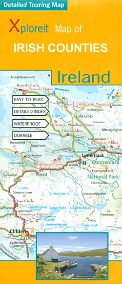
Irish counties in a series of double-sided, GPS-compatible maps from Xploreit Maps, with contours, altitude colouring, hiking trails and cycling routes, and printed on light, waterproof and tear-resistant plastic paper.Topography is shown by altitude colouring with contours (interval varies) and plenty of names of geographical features. Road network includes local secondary roads and tracks and
N/A 1048
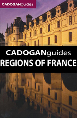
Cadoganโ€s popular series of guides to the regions of France combine solid research, detailed, practical information and individual points of view on each destination โ€“ each title is individually authored. Cadogan guides are particularly strong on historical and cultural sightseeing but also carry a good sense of the particular lifestyle of a destination. Informed itineraries
Nepal: Himalayan MapHouse Trekking Map 100 Series with the Great Himalaya Trail
Northern Nepal, from Kanchenjunga in the east to Saipal and Api in the far west of the country, in a series of waterproof and tear-resistant maps at scales between 1:100,000 and 1:150,000 published by the Nepa Maps (Himalayan MapHouse).Cartography in these waterproof editions, first published in 2011, is identical to what Himalayan MapHouse use in
Moleskine `Writing` Collection
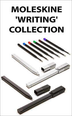
Moleskineโ€s new range of Writing products comprise a collection of high quality roller pens; the natural travel companion to every Molekine notebook, designed to stay attached to the cover via a simple clip. The ink is developed specifically for Moleskine paper, making it the ideal accompaniment to any Moleskine product.
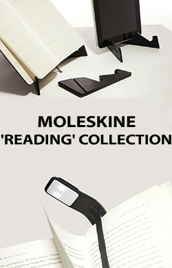
Moleskine `Reading` Collection
Lonely Planet `Not for Parents`
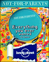
Lonely Planet`s Not for Parents series encompasses a range of guides designed for and aimed at children between the ages of 8 and 11. Incorporating intriguing stories and fascinating facts about some of the world`s most exciting cities, these books are ideal for children seeking inspiration or interested in geography and history. Each title has
Footprint Focus Guides
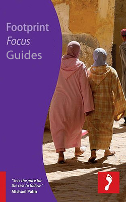
Footprint Focus Guides are targeted at cities, regions and countries worldwide that have no, or very limited, coverage from other publishers. Widely recognised for their reliability and independent writing style, Footprint Focus guides all have the same layout. Smaller than their sister Handbooks, the Focus guides are intended to streamline the information contained so that
Moleskine Folio
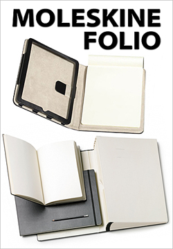
The Moleskine Folio series is Folio is a high quality Moleskine collection dedicated to creativity, free expression and design.Available in various sizes, the A4 and A3 options offer a generous space to be filled with drawings, projects, and writings. The Folio Collection is produced to the highest standards and with top quality materials; these offerings
Rick Steves` Guides
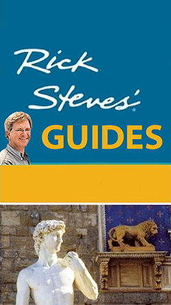
Rick Stevesโ€ travel guide series, published in the UK by Avalon, comprise a range of titles focussing on destinations in Great Britain and Europe. As one of the leading American guide book publishers to European destinations, Rick Stevesโ€ guides are predominantly targeted at an American market in terms of language, style and tone, yet still
Great Britain: Pearson`s Canal Companions
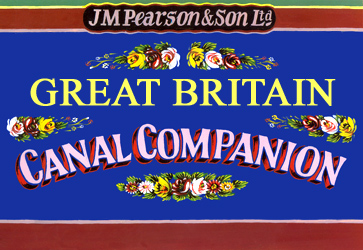
Pearsonโ€s Canal Companions published by Wayzgoose have for over 30 year now been presenting Britainโ€s network of inland waterways on handy size, informative guides which combine practical information with interesting descriptions and facts about the surrounding countryside.The routes are shown in sections on maps at approx. 2โ€ to 1 mile, and are annotated with locks,
Cambridge University Concise Histories

Cambridge University Pressโ€s Concise History series explores the history of a range of countries worldwide. Chronicling the countryโ€s modern history since the Middle Ages, each title in the series has been comprehensively researched and written by an academic specialising in the field. Individual chapters chart the history of the nation, either by century or notable
Italy: L`Escursionista Editore 25K Hiking Maps of the Italian Alps
Italian Alps in a series of detailed, GPS compatible hiking maps at 1:25,000 from Lโ€Escursionista Editore, highlighting hiking routes including the Via Ferrata climbing paths, campsites, refuges, shelters, etc. The maps have clear, easy to read cartography based on the Italian topographic survey with contours at 25m intervals, enhanced by relief shading, graphic relief and
Cities of the Imagination

The Cities of the Imagination guide series provides an in-depth cultural and historical exploration of some of the great city landscapes of the world. Presented as a cultural and literary guide, each title in the series explores the history of the city, providing an overview of the cityโ€s development from its earliest roots to the


