Category Archives: Accessories
TeNeues Cool Hotels Guides

The Cool Hotels series from TeNeues is aimed squarely at those looking for luxury and escape in its purest, and most likely expensive forms. Unique ambiences, exclusive locations, and soothing silences are all in these large format, gorgeously photographed books.As well as the full-colour photography bursting from every page, there are telephone numbers, websites and
Serbia/Montenegro: Geokarta Hiking and Recreational Maps
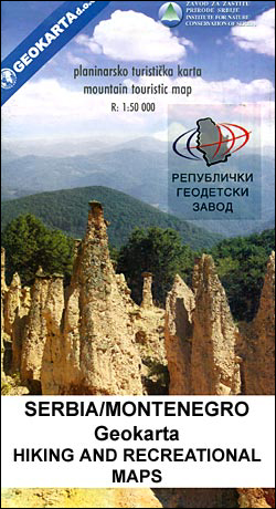
Popular hiking areas of Serbia and Montenegro on detailed contoured maps from the Belgrade based Geokarta, highlighting waymarked trails and providing other tourist information, including street plans of local resorts, etc.Unless indicated to the contrary in the individual description, the maps are contoured with additional colouring for forested areas and have plenty of names of
Vacation Work Publications “Live & Work” Guides
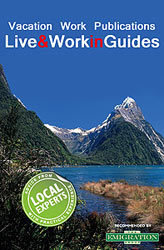
Vacation Work Publications โ€Live & Workโ€ Guides take you through the practicalities of a move to another country, from setting up home to finding a job and enjoying time off. There is advice on renting accommodation in the major cities, opening the right bank account, finding your ideal home and getting used to the local
Greece: Terrain Editions Maps for Hiking and Recreational Pursuits
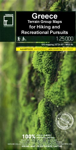
Popular hiking areas of Greece in an expanding series of maps from Terrain Editions with information for hiking, biking, canyoning, trail running and other recreational pursuits. Printed on light, waterproof and tear-resistant plastic paper.The maps are contoured and for GPS users have a UTM grid plus latitude and longitude margin ticks. Local road network is
InsideOut City Guides
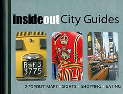
InsideOut city guides combine bite-size expertise with unique, pocket-size, fold-out maps. Each title includes an illustrated 64-page guide which is cross-referenced with the foldout maps themselves.Text covers all the city sights, shopping, entertainment, food & drink, practical information and where to stay. Practical information also includes how to get to the city, getting around and
Italy: Edizioni Multigraphic Maps for Alta Via dei Monti Liguri and Cinque Terre
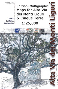
Alta Via dei Monti Liguri, the high route above the Italian Riviera on three GPS compatible maps at 1:25,000 from Edizioni Multigraphic, with adjoining local paths, refuges, places of interest, plus on the reverse lovely drawings.The series covers only the Ligurian section of the route. Contours at 20m intervals with relief shading and plenty of
Switzerland: Hallwag 50K Mountain Biking Maps
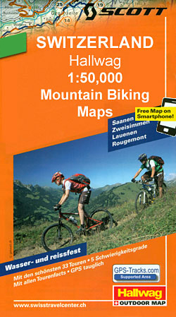
Popular mountain biking areas of Switzerland on waterproof and tear-resistant, contoured maps at 1:50,000 from Hallwag, each highlighting several circuits and providing route profiles, guidance on the difficulty and overall experience, etc.Each map is printed on sturdy, waterproof and tear-resistant plastic, and uses the same detailed base as other hiking and cycling map series from
Slovenia: Kartografija 40K Hiking and Cycling Sets
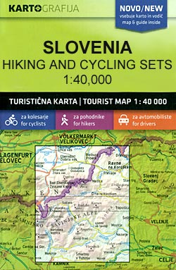
Popular recreational areas of Slovenia on double-sided maps at 1:40,000 from Kartografija in Ljubljana, accompanied by bilingual guides with descriptions of hiking trails, cycling routes, places of interest, lists of mountain huts, etc.The maps have contours at 20m intervals, enhanced by relief shading and graphics to provide a very effective picture of the topography. Waymarked
North America: NGS Classic Style Wall Maps
North America wall maps published by National Geographic Society in their classic style of presentation: light beige background with relief shading to show the topography and country borders outlined in contrasting colours. The maps are published in two sizes, (61x76cm or 92 x 117cm) each available either on paper or encapsulated.Coverage includes Central America and
Romania: Bel Alpin Hiking Maps
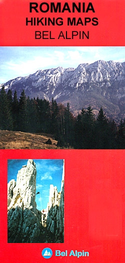
Romaniaโ€s popular hiking areas on contoured, GPS compatible maps from the locally based publishers Bel Alpin, with most titles providing English language descriptions of the recommended waymarked hiking routes, etc. The maps are contoured and highlight local trails indicating their waymarking signs. Also shown are locations of mountain shelters and refuges or other tourist accommodation
Europe: NGS Classic Style Political Wall Maps
Political wall maps of Europe from the National Geographic Society in their classic style, with country boundaries indicated in different colours. Available either as 77 x 60cm or 114 x 89cm, both sizes on paper or encapsulated.The maps present Europe in pale beige colour with relief shading to indicate mountainous regions. Additional graphics show topographic
World: National Geographic Society Decorator Style Political Wall Maps

National Geographic Societyโ€s โ€Decoratorโ€ series of political maps of the world with pale blue oceans pleasantly contrasting with the darker shades used for countries, plus additional insets showing vegetation and physical geography. FORMAT & SIZES: the maps are available on paper or encapsulated and in two sizes: 116 x 75.5cm (45.5โ€ x 29.5โ€ approx) and
Formac Colorguides
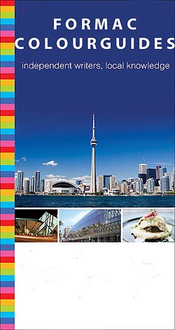
Formac Colorguides are a series of guide books to parts of Canada that have been both written by locals and printed in Canada. Itโ€s this first hand knowledge that give these little guides the edge for Canadian destinations.Colourguides offer detailed information on museums, galleries, and heritage sites as well as shopping, dining nightlife and more;
Luxe City Guides
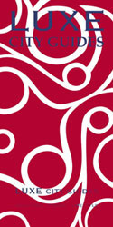
Luxe city guides are slim and small enough to fit easily in a pocket or handbag. Information is distilled from elite suggestions by city residents, specially selected for their style, knowledge and expertise.Luxe guides aim at the upper end of the market and subjectively edit to choose the very best recommendations for shopping, restaurants, leisure
Bradt Eccentric Guides
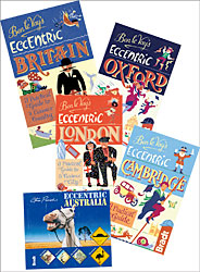
Bradtโ€s Eccentric Guides explore the weird, unusual and strange features of a small range of destinations including London, Oxford, Cambridge and Britain. Designed to uncover the more quirky aspects of a place, the guides search out colourful local personalities, legends and buildings, leading a series of walks into the destinationโ€s more unusual nooks and crannies.
Bradt Highlights Guides
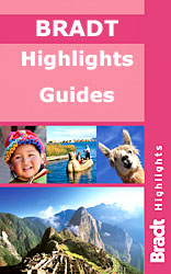
Bradtโ€s new Highlights series explores the best things to see and do in a range of regions and countries, as selected by some of the worldโ€s leading travel guidebook writers. Each title in the series aims to present readers with the destinationโ€s main highlights and must-see attractions, while providing practical and useful guidance on making
Bradt `Slow` Guides
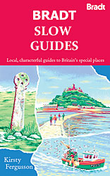
Bradtโ€s โ€Slowโ€ Travel Guides are a celebration of the special local character of a range of English regions. Each guide in the โ€Slowโ€ collection is part-armchair read and part-practical guide, with segments of the information provided in the guide compiled from deep inside knowledge and not before seen in print.Facts and fiction are delved into
Cicerone European Walking & Trekking Guides (Non UK and Ireland)
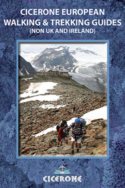
Cicerone European Walking & Trekking Guides Guides (non UK and Ireland) series is a selection of titles on topics and grades covering specific walking and trekking routes, and more general regional guides which also include some shorter, i.e. three- to five-day, trekking routes. Guides are a smaller format and illustrated with route mapping and colour
Slovenia: Kartografija 75K Hiking Maps
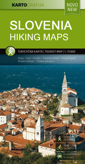
Slovenia on contoured and GPS compatible walking and cycling maps at 1:75,000 or 1:50,000 from Kartografija in Ljubljana, with English language notes on the reverse describing each region`s best sights, plus additional coverage of best hiking areas om waterproof and tear-resistant maps.Maps at 1:75,000 (including coverage of Triglav NP at 50K) a have contours at
Crimson Short Walks Guides
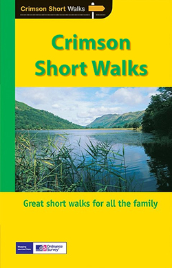
Short Walks Guides, produced in association with Ordnance Survey and published by Crimson, comprise a range of walking guides to popular British destinations. Each title includes 20 varied walks that are suitable for walkers of all ages and abilities and is accompanied by detailed Explorer 1:25,000 Ordnance Survey mapping with colour-coded marked routes.The guides are