Category Archives: Accessories
Sunflower Walk and Eat Pocket Guides
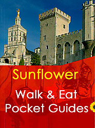
The Sunflower Walk & Eat guide series are designed for short breaks and feature about ten, mostly easy walks, with restaurants en route and local recipes; ideal for countryside and good food enthusiasts.The titles in this series cover mainly cities and include some of the most famous sights, as well as a few excursions in
Love Travel Guides

The Love Travel Guides by Hardys Bay Publishing are described by their author as โ€handbooks for the luxury vagabondโ€, and that is just what these special guides are. Truly unique in their presentation and style, these guides are for the independent-minded traveller with time to spare and money to spend. Filled with insidersโ€ knowledge, they
Benelux: Michelin Regional Road Maps and Atlases
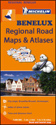
The Benelux countries on indexed regional road maps at 1:200,000 from Michelin with enlargements showing in greater detail road access to principal cities and/or street plans, distance/driving times tables, plus cross-referencing to the publishersโ€ Red Guides to hotels and restaurants. The whole region is also covered in Michelinโ€s Road Atlas of Benelux with the North
N/A 1194
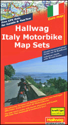
Popular areas of Italy on special motorbike map sets from Hallwag with each title combining an overview map of the whole area overprinted with several specially selected routes and more detailed, handy size 24.5 x 23 cm map extracts for each selection, printed on waterproof and tear-resistant synthetic paper. Accompanying information indicates the degree of
France: IGN 200K Tourist Maps
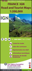
Franceโ€s mountainous regions on indexed touring maps at 1:200,000 from the IGN with excellent presentation of the terrain through contours and vivid relief shading, plenty of names of topographic features, long-distance GR hiking routes, places of interest, etc. Each sheet is designed to provide convenient coverage of a large tourist region.The mapping is a hybrid
USA: National Geographic Shipwreck Maps
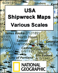
The coastline of the eastern seaboard of Unites States on shipwreck maps from the National Geographic with each title showing locations of hundreds of wrecks atop beautifully drawn bathymetric and coastal detail. Wreck sites have symbols to define class and type of each vessel, along with its name and, where available, the date of sinking.
Italy/France/Switzerland: L`Escursionista Editore Maps of High Alpine Tours
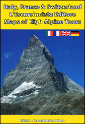
Long-distance hiking tours in the high Alps in a series of contoured, GPS compatible maps at 1:25,000 or 1:50,000, published jointly by Lโ€Escursionista Editore and Editrek and printed on light, waterproof and tear-resistant paper. Each title also contains a multilingual guide with stage-by-stage descriptions and other useful information.Each map is contoured (for interval please see
Australia: Hema Road Atlases and Touring/Camping Guides
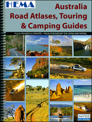
Australia and its individual states presented in a wide range of road atlases from Hema, with many titles combining the mapping section with extensive tourist information on best routes for exploring the countryโ€s or the stateโ€s unique topography and sights.The series combines both straightforward road atlases of the whole country, presented in a variety of
Philip`s Planispheres
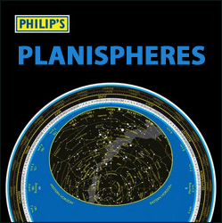
Philip`s planispheres, discs showing what can be seen in the sky on any particular date and time at various latitudes – an interesting accessory for anyone on holidays away from the city lights and air pollution, and an invaluable aid for astronomy enthusiasts, both beginners and advanced observers.Each title consists of a disc with a
Lifeventure Dristore – Waterproof Roll Top Bags
The Lifeventure Dristore – Waterproof Roll Top Bags are cleverly designed stuff sacks. They feature a roll top closure that also acts as a compression system, squeezing surplus air out of the sack as you roll down the top. They are easy to carry as they neatly fold away taking minimum storage space. Use them
London: A-Z Street Atlases and Maps
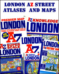
A-Z street atlases and street maps of London from the Geographers` A-Z Map Company produced in a variety of formats and sizes, from large atlases to small pocket maps. The titles use the same basic cartography, enlarged or reduced according to the requirements of each version, so the print size of street names and other
World: Global Mapping Political Wall Maps
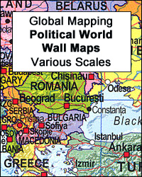
Political maps of the world from Global Mapping with bright colouring of the individual countries pleasantly contrasted by the light blue oceans, relief shading for mountain ranges on land and the structure of the ocean floor, a panel of country flags, etc.FORMAT & SIZES: the maps are available on paper or encapsulated and in four
Herb Lester Associates City Map/Guides
City Map/Guides from Herb Lester Associates are an eclectic selection of quirky titles designed to illuminate particular aspects of a city or a district. Each title lists publishersโ€ recommendations, ranging from the already famous attractions to little gems known only to the well informed locals, all with brief descriptions and, where appropriate, contact details.Accompanying maps
Italy: Touring Club Italiano Regional Smart Maps
Maps of popular sightseeing regions of Italy presented by the Touring Club Italiano on Smart Maps printed on light, waterproof and tear-resistant synthetic paper. The maps use the cartography of TCIโ€s bestselling regional series at 1:200,000, but enlarged on most titles to 1:175,000 and accompanied by publishersโ€ recommendations for how to get the best of
Black Sheep Guides Travel for Food
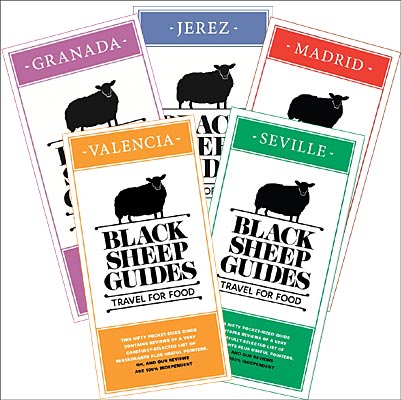
The Black Sheep Guides – Travel for Food โ€“ offer a pocket sized itinerary to the best places, restaurants, cafรฉโ€s and bars for you to try in the city, as knowledgeably picked as by the locals.The guides unfold like an accordion, opening with a โ€Local Knowledgeโ€ section highlighting the words you will probably use the
Old Folding Maps Reproductions of Historical Maps
Old maps from late 18th and 19th century reproduced by the Old Folding Maps company and mounted on cloth. Each individual map is presented folded in a colourful case covered with a unique design marbled paper โ€“ no two cases are identical.Many of the reproductions have been taken from what used to be called โ€cloth-dissectedโ€


