Category Archives: Accessories
New Zealand: NewTopo Hiking Maps
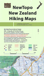
New Zealandโ€s popular hiking and tramping areas on contoured and GPS compatible maps from NewTopo NZ Ltd, with exceptionally vivid presentation of the terrain, routes clearly highlighted and symbols to show locations of various facilities.The maps have contours (20m in most titles – please confirm in the individual description) enhanced by relief shading, plus colouring
Austria: Kรผmmerly+Frey Recreational Maps
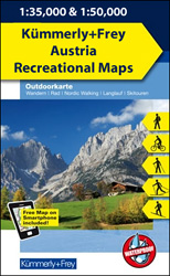
Popular recreational areas of the Austrian Alps on GPS compatible, double-sided maps from Kรผmmerly+Frey printed on sturdy, waterproof and tear-resistant synthetic paper; contoured, with hiking, cycling and ski routes, accommodation facilities, locations for other recreational activities, etc.Scales are either 1:50,000 or 1:35,000. Contour interval is 40m, enhanced by relief shading and finely drawn additional graphic

France: IGN 200K Tourist Maps
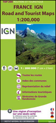
Franceโ€s mountainous regions on indexed touring maps at 1:200,000 from the IGN with excellent presentation of the terrain through contours and vivid relief shading, plenty of names of topographic features, long-distance GR hiking routes, places of interest, etc. Each sheet is designed to provide convenient coverage of a large tourist region.The mapping is a hybrid
USA: National Geographic Shipwreck Maps
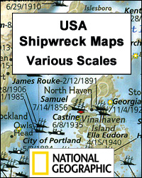
The coastline of the eastern seaboard of Unites States on shipwreck maps from the National Geographic with each title showing locations of hundreds of wrecks atop beautifully drawn bathymetric and coastal detail. Wreck sites have symbols to define class and type of each vessel, along with its name and, where available, the date of sinking.
Italy/France/Switzerland: L`Escursionista Editore Maps of High Alpine Tours
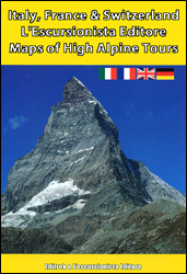
Long-distance hiking tours in the high Alps in a series of contoured, GPS compatible maps at 1:25,000 or 1:50,000, published jointly by Lโ€Escursionista Editore and Editrek and printed on light, waterproof and tear-resistant paper. Each title also contains a multilingual guide with stage-by-stage descriptions and other useful information.Each map is contoured (for interval please see
Walker Books 3D Expanding City Skyline – Pocket Pop up Book
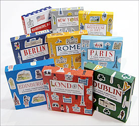
The Walker Books 3D Expanding City Skyline – Pocket Pop up Book series covers a number of American and European cities. Each title features twelve of the cityโ€s most famous sites accompanied by brief descriptions and a map showing their location. Extending to 1.5 meters when fully stretched, the book becomes a three dimensional, beautifully
Australia: Hema Road Atlases and Touring/Camping Guides
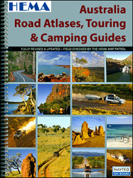
Australia and its individual states presented in a wide range of road atlases from Hema, with many titles combining the mapping section with extensive tourist information on best routes for exploring the countryโ€s or the stateโ€s unique topography and sights.The series combines both straightforward road atlases of the whole country, presented in a variety of