Category Archives: Accessories
London: A-Z Wall Maps of London in 1964
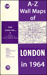
Reproductions of A-Zโ€s wall maps covering London on four sheets, originally published in 1964 ahead of major road infrastructure development to meet the demands of increasing car ownership. Each map offers a fascinating snapshot of the capital at a time when the new Greater London Council boroughs were being established. The maps are at a
Mini Magnetic Bookmarks – London Underground and Classic Cars
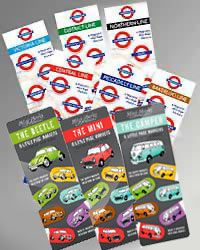
The Mini-Magnetic Bookmarks Series by That Company Called If features two main themes, the London Underground including the most popular lines, Bakerloo, Central, District, Northern, Piccadilly and Victoria, and Classic Cars showcasing the Mini, the Beetle and the Camper Van.Printed onto thick glossy card, the little mini markers have two magnets to hold them in
France: IGN Hiking, Cycling & Other Recreational Maps
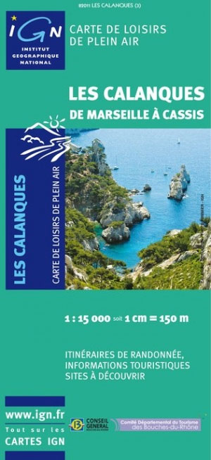
The remaining currently available titles from the various series of hiking, cycling and outdoor leisure maps of France published by IGN in cooperation with local tourist authorities and other organizations.Over the years IGN has published many hiking, cycling and other recreational maps as part of various series which have either been gradually discontinued or never
Netherland & Flanders: Falk 50K Cycling Maps
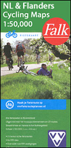
The network of signposted cycling routes in Netherlands and Flanders on large, double-sided indexed maps at 1:50,000 from Falk, with prominent highlighting of the long-distance LF routes, symbols indicating accommodation and other tourist services, plus in each title two or more panels with recommended local circuits and additional tourist information. The series includes some adjoining
Italy: Kรผmmerly + Frey 200K Regional Road Maps

Italy on 16 regional maps at 1:200,000 from Kรผmmerly and Frey with cartography from the Italian publishers de Agostini, each with a separate index booklet attached to the map cover providing enlargements with access to main cities plus several very clear street plans of other towns and smaller but important tourist destinations.The colouring of the
France: Michelin Centenary “Hier – Aujourd`hui” Map-Packs
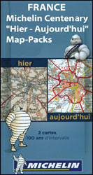
Selected areas of France presented by Michelin on sets of two maps: each title includes a current road map at 1:200,000 from 2014 plus a reproduction from Michelinโ€s very first series of regional maps at the same scale, published between 1910 and 1924. Each set shows not only how the region covered by the maps
Soho Publishing Reproductions of Pictorial Maps and Posters
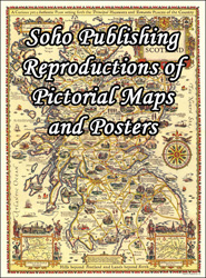
A selection of reproductions by Soho Publishing of posters and colourful pictorial maps, ideal for framing to provide an interesting decoration for your home or office. Each title is 30 x 40cm (12โ€ x 16โ€ approx.). The prints are supplied flat rather than rolled, with an A3 protective piece of cardboard, so the package will
ADMIRALTY Digital Reference Publications

ADMIRALTY e-Nautical Publications (AENPs) bring improved efficiency, accuracy and access to information bridge crews need through electronic NM updates and simple search functionality.Please note that AENPs are sold on an individual annual licence basis and require Windows operating system. All digital publication sales are final.***Please allow 1-2 working days for the license to be issued
USA: Michelin Zoom Maps
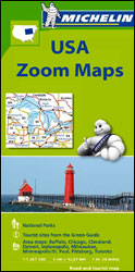
Scenic regions of USA on exceptionally clear and well presented, indexed road maps from Michelin at 1:1,267,200 (1โ€ to 20 miles), with highlighting of All-American Roads and National Byways, Michelinโ€s selections of best sights and scenic routes, street plans of main cities, events calendars and other tourist information. Each map covers a large area, presenting