Category Archives: Accessories
Shetland Nicolson Tourist Map
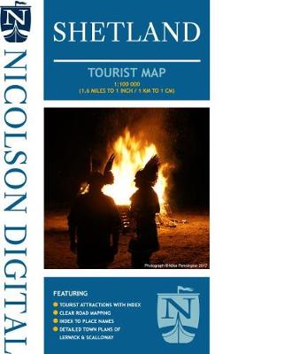
New tourist map for Shetland. Exceptionally clear road mapping and includes indexed street plans of both Lerwick & Scalloway.

Art Deco Traveller: A Guide to the USA
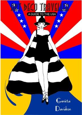
Be transported back to the heyday of modern style when architecture, design and style were de rigueur. This is an invaluable location guide for any art deco traveller in the United States and for all lovers of 1920s and 30s nostalgia and all that that entails: the opulence and decadence of the legendary Jazz Age
An Historical Map of Coventry – from Medieval to Industrial City
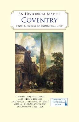
Coventry is UK City of Culture, 2021. A full colour map, based on a digitised map of the city of Coventry in 1913, with its medieval past overlain and important buildings picked out. For many people, the history of Coventry is synonymous with the devastation of the Second World War. The Blitz and post-war reconstruction
Bristol in 1480 – a Medieval Merchant City
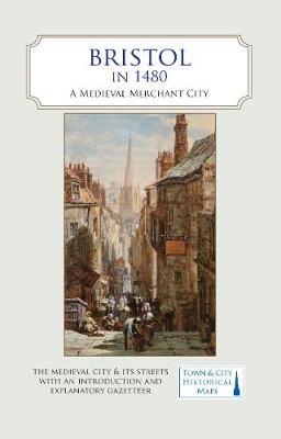
A full colour map, where the city in about 1480 is shown against a background of a detailed Ordnance Survey of the early 20th century. In 1480, a high-ranking official called William Worcestre revisited his native city of Bristol and wrote a detailed description of all the streets and their buildings and the activities that
An Historical Map of Canterbury – from Roman Times to 1907
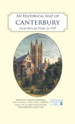
A full colour map, based on a digitised map of the city of Canterbury in 1907, with its Roman, Anglo-Saxon and medieval past overlain and important buildings picked out. Founded as the Roman town of Durovernum Cantiacorum, Canterbury grew to be more important than London. Canterbury Cathedral became a major European centre of pilgrimage following
Yosemite
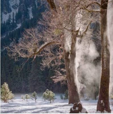
Charles has been photographing Yosemite for over 40 years. The photography he brings from this location is intimate and classic in equal measure, displaying a personality only achievable through such familiarity. Honored to be represented by Ansel Adams gallery, the ultimate accolade for any photographer working this area.
The Big History Timeline Wallbook: Unfold the History of the Universe – From the Big Bang to the Present Day
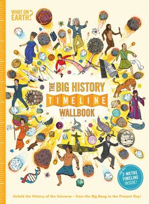
This unique `big history` wallbook includes a 2 metre-long fold-out timeline containing more than 1,000 pictures and captions that tell the story of the history of the world. The timeline is divided into 12 sections covering both natural history as well as the history of human civilisations in each of the world`s continents. Readers can
The Nature Timeline Wallbook: Unfold the Story of Nature – From the Dawn of Life to the Present Day
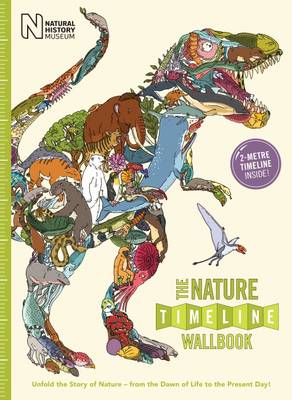
EXPLORE LIFE ON EARTH with the most visually stunning timeline of evolution ever created, stretching back 4 billion years to the first signs of life in the seas. Then witness the emergence of multi-cellular life, the colonisation of the land, the reign of dinosaurs, mass extinctions, the migration of mammals and finally, the story of
Beer, in So Many Words: The Best Writing on the Greatest Drink

These days beer could not be more popular. New craft breweries open by the week; most pubs routinely serve several draught real ales; supermarkets stock an astonishing range of the best beers from all over the world, and BrewDog raises millions by crowdfunding. Even Majestic Wines now sells beer.But until now, though people have always
Ayrshire Street Atlas
Street Atlas for Ayrshire @ 1:14,000.Includes Alloway, Annbank, Ardrossan, Auchinleck, Ayr, Ballantrae, Barassie, Barr, Barrhill, Beith, Bellsbank, Catrine, Colmonell, Coylton, Crookedholme, Crosshill, Crosshouse, Cumnock, Dailly, Dalmellington, Dalry, Dalrymple, Darvel, Dreghorn, Drongan, Drybridge, Dundonald, Dunlop, Fairlie, Fenwick, Galston, Girvan, Glengarnock, Hillhead, Hurlford, Irvine, Kilbirnie, Kilmarnock, Kilmaurs, Kilwinning, Kirkmichael, Kirkoswald, Knockentiber, Largs, Logan, Lugar, Maidens, Mauchline, Maybole,
Moray & Speyside Nicolson Street Atlas
Based on OS data and fully revised for 2017 the new Moray & Speyside Street Atlas is your essential guide to the towns and villages throughout Moray & Speyside. Exceptionally clear mapping and full index to street names. Don`t leave home without it!Featuring:Exceptionally clear street mappingIndex to street namesTourist attractions highlightedShows schools, post offices, parking,
Dumfries & Galloway Nicolson Tourist Map
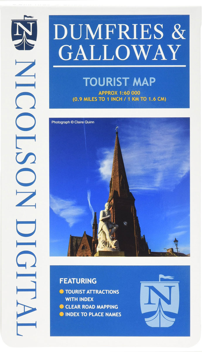
Exceptionally clear road mapping for Dumfries and Galloway. A double sided, card covered map, index to place names and main tourist attractions. Covers the Dark Skies Park.