Category Archives: Accessories
Great Britain: Harvey Cycling and Other Recreational Maps
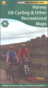
A selection of cycling, hiking and other recreational maps from Harvey Map Services, grouped together to present those of the publishersโ€ titles which are not part of their four main series: the Superwalker, the Mountain Map, the Summit Map, and the Long-Distance Hiking Trails.Map scales, GPS compatibility, and the overprint for hikers and/or cyclists vary,
Great Britain & Ireland: Rucksack Readers` Guides to Long-distance Footpaths
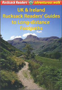
Long-distance hiking trails in Great Britain and Ireland presented by Rucksack Readers in handy A5 size, spiral-bound, waterproof guides, with stage-by-stage descriptions of the route, useful tourist advice and background information, and numerous colour photos.Background information covers various interesting aspects of each route: wildlife, geology, the history of the region or the route itself, etc.
ADMIRALTY Sailing Directions
ADMIRALTY Sailing Directions (Pilots) provide essential information to support port entry and coastal navigation for all classes of ships at sea. Split across 75 volumes, coverage includes the worldโ€s main commercial shipping routes and ports.Each volume of Sailing Directions offers:Information on navigational hazards, buoyage, pilotage, regulations, general notes on countries, port facilities, seasonal currents, ice
Germany and Alpine Regions of Europe: Kompass Maps of Long-distance Footpaths
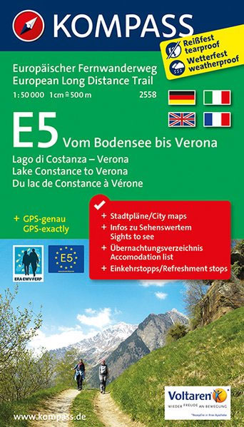
Long-distance hiking paths in Germany and the adjoining Alpine regions of Europeon contoured and GPS compatible, waterproof and tear-resistant maps from Kompass at 1:50,000, presenting each trail in a series of panels accompanied by an accommodation list, street plans of local town, route profile, plus a German language guide to main places of interest.Each route
USA: Bella Terra Maps of Rail Museums & Trips
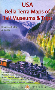
United Stateโ€s railway heritage presented on three maps from Bella Terra showing the network of main roads and existing railway lines with an overprint highlighting numerous points of interest to railway enthusiasts, plus in each title state-by-state lists of all the highlighted sights indicating what can be found there, e.g. museums, original depots, model trains,
Austria: Hallwag K+F 175K Regional Maps
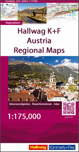
Austria on indexed touring maps at 1:175,000 from Hallwag Kรผmmerly + Frey, printed on durable, waterproof and tear-resistant synthetic paper. Each title is double-sided so covers a large area, and is printed with a good overlap between the sides.Clear and easy to read road network highlights scenic roads and indicates motorway junction numbers and services,