Categories
-
Best Sellers
-
New African Yearbook 1997/98
-
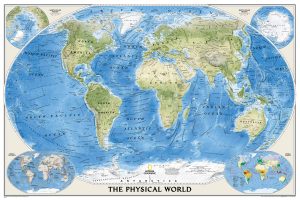
World NGS Physical / Ocean Floor Wall Map ENCAPSULATED
Superb representation of the ocean floor in this encapsulated version, 110x76cm/ (43″ x 30″ approx.) physical map of the world, one of the most interesting titles Read More » -
Two Stories
Virginia Woolf was one of the most influential writers of the twentieth century. With her husband, Leonard Woolf, she started the Hogarth Press in 1917: the Read More » -
Scrambles in the Lake District – North: Wasdale, Ennerdale, Buttermere, Borrowdale, Blencathra & Thirlmere
Guide to 100 scrambling routes in the north of the English Lake District, covering Wasdale, Ennerdale, Buttermere, Borrowdale, Blencathra and Thirlmere. It presents a comprehensive collection Read More » -
Lastovo Islands Nature Park
Latsovo Island on a contoured and GPS compatible map at 1:20,000 from the Croatian Mountain Rescue Service, with on the reverse the whole of the Latsovo Read More » -
Canals in Britain
In the early years of the Industrial Revolution, canals formed the arteries of Britain. Most waterways were local concerns, carrying cargoes over short distances and fitted Read More » -
Eastern Crete Orama Editions 090
-
Slide Rule – International Rules for Avoiding Collisions at Sea (English version)
Greatly researched, Greece Sea Guide is a series of pilot books and a chartbooks in one. They provide in depth information taken from the Greek Hydrographic Read More » -
Niort – Benet – Coulon IGN 1528SB
Topographic survey of France at 1:25,000 in IGN`s excellent TOP25 / Sรฉrie Bleue series. All the maps are GPS compatible, with a 1km UTM grid plus Read More » -
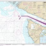
NOAA Chart 18480 – Approaches to Strait of Juan de Fuca’”Destruction – Island to Amphitrite Point
NOAA maintains the nautical charts and publications for U.S. coasts and the Great Lakes. Over a thousand charts cover 95,000 miles of shoreline and 3.4 million Read More »
-