Category Archives: Accessories
Chart Atlases for English South Coast
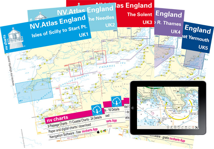
This new line of maritime chart atlases covers the whole length of the South Coast of England from Isles of Scilly to Dover. They have been produced using UKHO data. UK4 volume covers the River Thames from Blackfriars Bridge in London all the way to the estuary and UK5 volume also includes East Anglian coast
Chart Atlases for the Netherlands
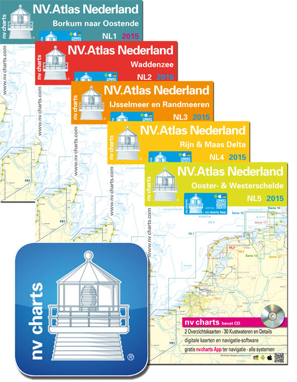
NV Chart atlases for the Netherlands provide a comprehensive coverage of the coastline. Each pack contains:โ€: Passage Chartsโ€: Coastal Chartsโ€: Detailsโ€: Monthly correction service with emailโ€: NV Charts app code โ€: Currentsโ€: Tidesโ€: Harbour Plans paper & digitalNV Charts App allows you to download digital raster chart copies of the paper atlas in up to
Chart Atlases for Germany
NV Chart atlases for the German coast provide a comprehensive coverage based on the BSH (German Hydrographioc Office) data. Each pack contains:โ€: Passage Chartsโ€: Coastal Charts and Detailsโ€: Monthly correction service with emailโ€: Currents and tidesโ€: NV Charts app code NV Charts App allows you to download digital raster chart copies of the paper atlas
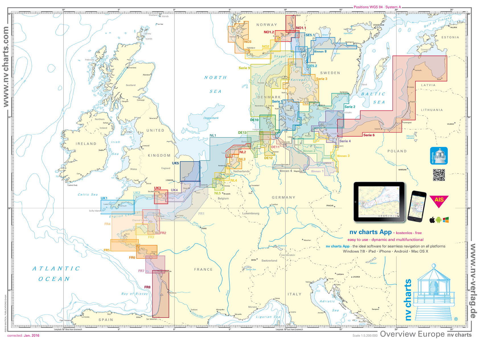
Chart Atlases for the Baltic Sea
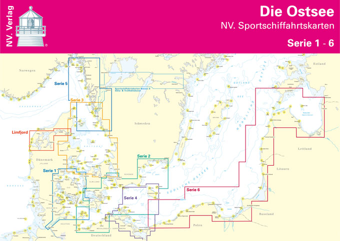
NV Chart atlases for the Baltic coast provide a comprehensive coverage for Denmark and west coast of Sweden. Series 6 volume combines Polish, Kaliningrad, Lithuanian and Latvian costs into one handy atlas. Each pack contains:โ€: Passage Chartsโ€: Coastal Charts and Detailsโ€: Monthly correction service with emailโ€: Currents and tidesโ€: NV Charts app code NV Charts
Poland: Reise-Know-How Touring Maps with Historic Place Names
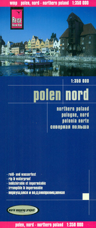
Poland on indexed, waterproof and tear-resistant touring maps from Reise-Know-How with historical names of main towns and other important locations which during the 19th and part of the 20th century were in Germany or in the Austro-Hungarian Empire. The maps are double-sided to provide the best balance between a good scale and a convenient size
Germany: Kompass 125K Cycling 2-Map Sets
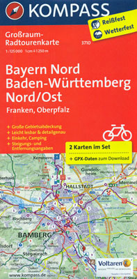
Germany on waterproof and tear-resistant, contoured and GPS-compatible cycling maps at 1:125,000 from Kompass with laminated surface which can be annotated with suitable marker pens. Each title consists of two double-sided maps highlighting long-distance, primary and secondary routes, plus accommodation, hire and repair shops, places of interest, etc.The maps cover on each side an area
Chart Atlases for France
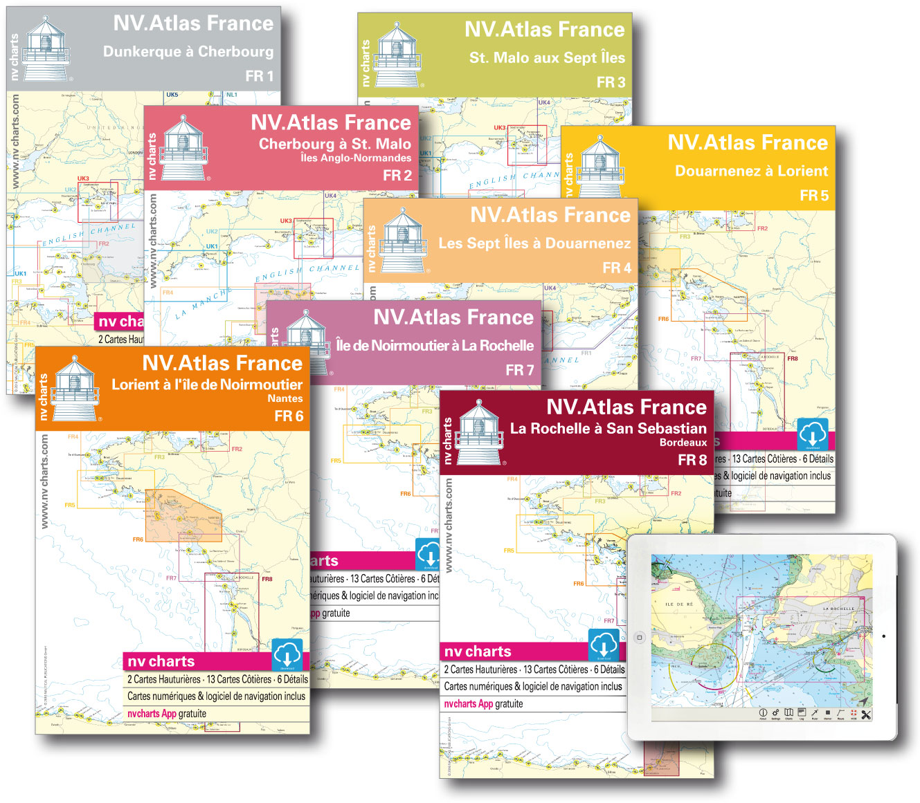
NV Chart atlases provide a comprehensive coverage to the Atlantic Coast of France and the English Channel including the Channel Islands in volume FR2. Each pack is written in both English and French and contains:โ€: Passage Chartsโ€: Coastal Charts and Detailsโ€: Monthly correction service with emailโ€: NV Charts app code NV Charts App allows you