Category Archives: Accessories
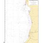
NV Charts – US East Coast
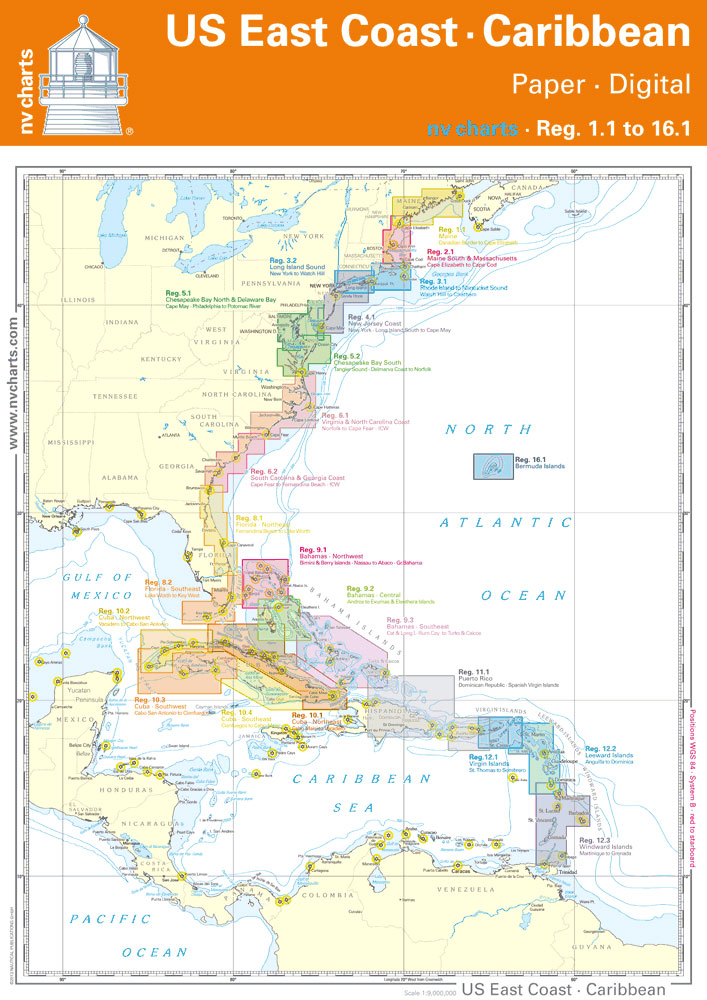
โ€: Based on NOAA data with a new layout, clear cartography and international chart standardsโ€: Depths and heights are charted in feetโ€: North up chart orientationโ€: Channel markers in red and greenโ€: Unique color differences, blue for the 6 ft and 18 ft dephts, and green for exposed tidal areasโ€: Contour lines for 12 ft
Ireland: Collins Road Atlases
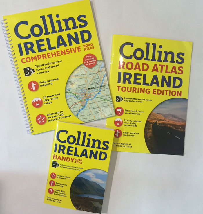
Road atlases of Ireland from Collins available in three formats and at three different scales with the corresponding reductions in the presentation of the road network and the number of locations marked on the maps: Comprehensive A4 spiral-bound at 1:200,000/1โ€ to 3.2 miles, Touring A4 paperback at 1:328,000/1โ€ to 5.2 miles, plus A5 paperback at
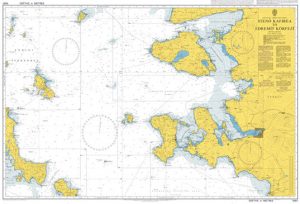
NV Charts Inland Waterways Atlases
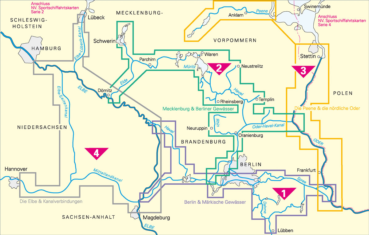
NV Charts German inland waterways and Sweden`s Blue Ribbon canal.A colored set of charts specially designed for inland waterway navigation, spiral bound with charts and details, format 40 x 21 cm.Practical to work with, including precise information: Detailed charts and a German script with depthsOverhead clearance, locks, mooringsPoints of interestDanger areas are highlighted in redImportant