Category Archives: Accessories
Schwyz – Glarus – Muotathal – Klรถntal K+F Hiking Map 21

These laminated hiking maps at a scale of 1:40 000 are the ideal basis for planning a hiking tour.The precise cartography shows hiking trails including classification. Information on accommodation and restaurants, bus routes with stops, mountain railways, regional parks, sights and much more are included on the map.Thanks to the quality of the tear-proof and
The Art Of Ice Climbing

Following in the footsteps of Chouinard`s โ€Climbing Iceโ€, this super book of all things icy presents ice climbing from the early alpine ascents to the modern practice of dry tooling, and recounts on the history, the equipment, and the techniques involved.Part instruction manual and part coffee table volume, it will be useful to beginners and
The Great Demographic Reversal: Ageing Societies, Waning Inequality, and an Inflation Revival

This original and panoramic book proposes that the underlying forces of demography and globalisation will shortly reverse three multi-decade global trends – it will raise inflation and interest rates, but lead to a pullback in inequality. โ€Whatever the future holdsโ€, the authors argue, โ€it will be nothing like the pastโ€. Deflationary headwinds over the last
U.S. Architecture

American architecture has created a symbol for itself in the skyscraper. It is a typology that seems to shout Yes we can!, and the superpower lives by these words to this day. As a little boy, President Barack Obama dreamed of becoming an architect. Now, those who have fulfilled this dream demonstrate how architecture in
Stations
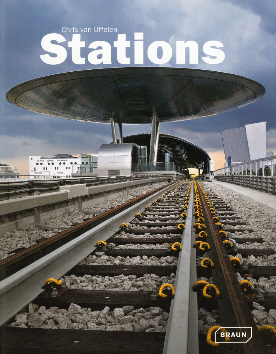
Serving as gateways to the cities, train stations were the most important urban building developments at the turn of the 20th century. One century later this building mission is experiencing a fascinating renaissance.On a world-wide basis new facilities are emerging that need to fulfill various functions very often they have to serve as shopping malls.
Trentino – Alto Adige – Bolzano – Trento – Venice K+F Regional Map 3

Trentino – Alto Adige: South Tyrol – Venice map at 1:200,000 from Kรผmmerly and Frey with cartography from the Italian publishers de Agostini. Each title in this series has a separate index booklet attached to the map cover providing enlargements with access to main cities plus several very clear street plans of other towns and
Lower Rhine – Kleve – Wesel 50K Kรผmmerly + Frey Map No. 61
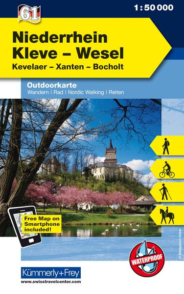
Lower Rhine – Kleve – Wesel area in western Germany at 1:50,000 from Kรผmmerly+Frey in a series GPS compatible, double-sided maps printed on durable, waterproof and tear-resistant plastic paper; contoured, with hiking and cycle routes, other recreational activities, etc.Maps in this series are at a scale of either 1:50,000 or 1:35,000. Contour interval varies from
Tuscany – Pisa – Florence – Siena K+F Regional Map 8

Tuscany at 1:200,000 from Kรผmmerly and Frey with cartography from the Italian publishers de Agostini. The index booklet attached to the map cover includes enlargement showing access to Florence, Livorno and Pisa, plus city centre street plans of Arezzo, Carrara, Florence, Grosseto, Livorno, Lucca, Massa, Pisa, Pistoia, Prato, San Marino, San Gimignano, Siena and Volterra.Map
Aargau Ost – Lenzburg – Baden K+F Hiking Map 07
These laminated hiking maps at a scale of 1:40 000 are the ideal basis for planning a hiking tour.The precise cartography shows hiking trails including classification. Information on accommodation and restaurants, bus routes with stops, mountain railways, regional parks, sights and much more are included on the map.Thanks to the quality of the tear-proof and
Appenzell – Santis – St. Gallen K+F Hiking Map 09
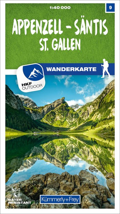
These laminated hiking maps at a scale of 1:40 000 are the ideal basis for planning a hiking tour.The precise cartography shows hiking trails including classification. Information on accommodation and restaurants, bus routes with stops, mountain railways, regional parks, sights and much more are included on the map.Thanks to the quality of the tear-proof and
Rapperswil-Jona – Toggenburg West K+F Hiking Map 14
These laminated hiking maps at a scale of 1:40 000 are the ideal basis for planning a hiking tour.The precise cartography shows hiking trails including classification. Information on accommodation and restaurants, bus routes with stops, mountain railways, regional parks, sights and much more are included on the map.Thanks to the quality of the tear-proof and
Walensee – Toggenburg East K+F Hiking Map 15
These laminated hiking maps at a scale of 1:40 000 are the ideal basis for planning a hiking tour.The precise cartography shows hiking trails including classification. Information on accommodation and restaurants, bus routes with stops, mountain railways, regional parks, sights and much more are included on the map.Thanks to the quality of the tear-proof and