Category Archives: Accessories

Andermatt – Surselva K+F Hiking Map 33
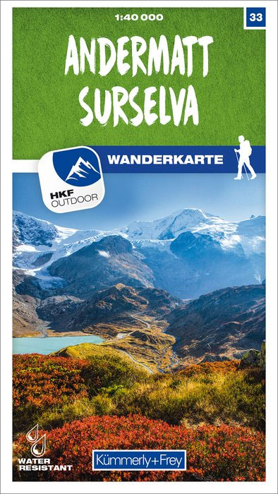
These laminated hiking maps at a scale of 1:40 000 are the ideal basis for planning a hiking tour.The precise cartography shows hiking trails including classification. Information on accommodation and restaurants, bus routes with stops, mountain railways, regional parks, sights and much more are included on the map.Thanks to the quality of the tear-proof and
Flims – Laax – Lumnezia – Splรผgen K+F Hiking Map 34

These laminated hiking maps at a scale of 1:40 000 are the ideal basis for planning a hiking tour.The precise cartography shows hiking trails including classification. Information on accommodation and restaurants, bus routes with stops, mountain railways, regional parks, sights and much more are included on the map.Thanks to the quality of the tear-proof and
Davos – St. Moritz – Oberengadin / Upper Engadine K+F Hiking Map 36
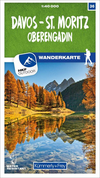
These laminated hiking maps at a scale of 1:40 000 are the ideal basis for planning a hiking tour.The precise cartography shows hiking trails including classification. Information on accommodation and restaurants, bus routes with stops, mountain railways, regional parks, sights and much more are included on the map.Thanks to the quality of the tear-proof and
Grรคchen – Leukerbad – Lรถtschental K+F Hiking Map 41
These laminated hiking maps at a scale of 1:40 000 are the ideal basis for planning a hiking tour.The precise cartography shows hiking trails including classification. Information on accommodation and restaurants, bus routes with stops, mountain railways, regional parks, sights and much more are included on the map.Thanks to the quality of the tear-proof and
Simplon – Aletsch – Goms K+F Hiking Map 42
These laminated hiking maps at a scale of 1:40 000 are the ideal basis for planning a hiking tour.The precise cartography shows hiking trails including classification. Information on accommodation and restaurants, bus routes with stops, mountain railways, regional parks, sights and much more are included on the map.Thanks to the quality of the tear-proof and
Leventina – Gotthard – Valle di Blenio K+F Hiking Map 43
These laminated hiking maps at a scale of 1:40 000 are the ideal basis for planning a hiking tour.The precise cartography shows hiking trails including classification. Information on accommodation and restaurants, bus routes with stops, mountain railways, regional parks, sights and much more are included on the map.Thanks to the quality of the tear-proof and
Locarno – Maggia – Verzasca K+F Hiking Map 44
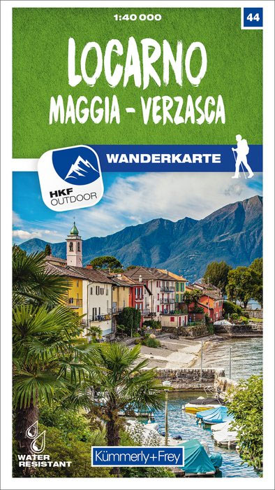
These laminated hiking maps at a scale of 1:40 000 are the ideal basis for planning a hiking tour.The precise cartography shows hiking trails including classification. Information on accommodation and restaurants, bus routes with stops, mountain railways, regional parks, sights and much more are included on the map.Thanks to the quality of the tear-proof and
Silvaplana – Bergell K+F Hiking Map 46
These laminated hiking maps at a scale of 1:40 000 are the ideal basis for planning a hiking tour.The precise cartography shows hiking trails including classification. Information on accommodation and restaurants, bus routes with stops, mountain railways, regional parks, sights and much more are included on the map.Thanks to the quality of the tear-proof and
Zermatt – Saas-Fee K+F Hiking Map 49
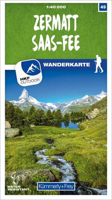
These laminated hiking maps at a scale of 1:40 000 are the ideal basis for planning a hiking tour.The precise cartography shows hiking trails including classification. Information on accommodation and restaurants, bus routes with stops, mountain railways, regional parks, sights and much more are included on the map.Thanks to the quality of the tear-proof and
Lugano – Sottoceneri – Gambarogno K+F Hiking Map 50
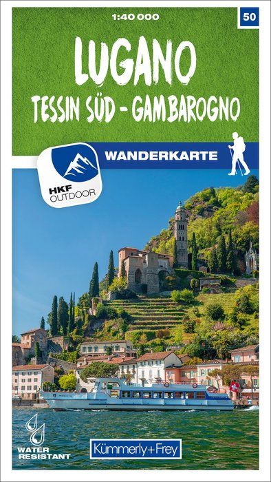
These laminated hiking maps at a scale of 1:40 000 are the ideal basis for planning a hiking tour.The precise cartography shows hiking trails including classification. Information on accommodation and restaurants, bus routes with stops, mountain railways, regional parks, sights and much more are included on the map.Thanks to the quality of the tear-proof and
Frรคnkische Schweiz K+F Outdoor Map 37
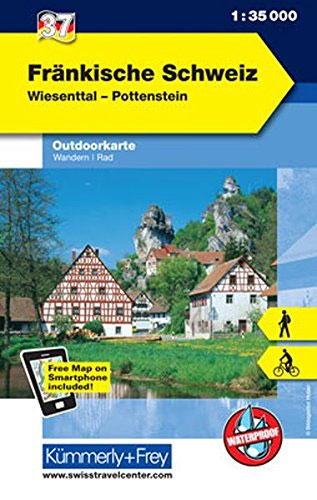
Frรคnkische Schweiz region of the Franconian Jura in northern Bavaria at 1:35,000 from Kรผmmerly+Frey in a series GPS compatible, double-sided maps printed on durable, waterproof and tear-resistant plastic paper; contoured, with hiking and cycle routes, other recreational activities, etc.Maps in this series are at a scale of either 1:50,000 or 1:35,000. Contour interval varies from
Switzerland ACS Road Map 2021
Road map of Switzerland at 1:275,000 from the countryโ€s Automobile Club, with index on the reverse, town centre street plans of 10 main cities, a distance table, plus a list of road tunnels. This title is one of two road maps published by Kรผmmerly + Frey for Switzerlandโ€s two motoring organizations: the Automobile Club (ACS)
Sarganserland – Sardona – Pizol – Chur K+F Hiking Map 22
These laminated hiking maps at a scale of 1:40 000 are the ideal basis for planning a hiking tour.The precise cartography shows hiking trails including classification. Information on accommodation and restaurants, bus routes with stops, mountain railways, regional parks, sights and much more are included on the map.Thanks to the quality of the tear-proof and
Unterengadin / Lower Engadine – Scuol – Samnaun K+F Hiking Map 24
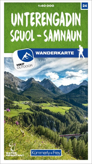
These laminated hiking maps at a scale of 1:40 000 are the ideal basis for planning a hiking tour.The precise cartography shows hiking trails including classification. Information on accommodation and restaurants, bus routes with stops, mountain railways, regional parks, sights and much more are included on the map.Thanks to the quality of the tear-proof and
Pakistan F&B
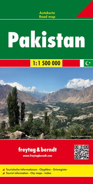
This Pakistan at 1:1,500,000 large indexed road map from Freytag & Berndt, with street plans of central Islamabad, Karachi, Lahore and Peshawar, provides a good presentation of the countryโ€s topography.The map has bold relief shading with spot heights and names of main geographical features, plus colouring and/or graphics to show swamps and lakes, deserts and
Thunersee – Adelboden – Kandersteg K+F Hiking Map 30
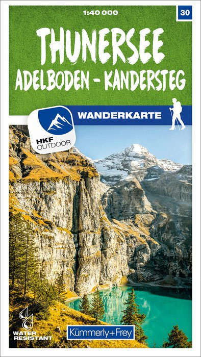
These laminated hiking maps at a scale of 1:40 000 are the ideal basis for planning a hiking tour.The precise cartography shows hiking trails including classification. Information on accommodation and restaurants, bus routes with stops, mountain railways, regional parks, sights and much more are included on the map.Thanks to the quality of the tear-proof and
Kocher – Jagst Cycle Route Bikeline Map-Guide

The Kocher – Jagst Cycle Tour, a 338-km long circuit along the Jagst and the Kocher in the Schwabian Jura, presented by the Verlag Esterbauer in a guide with maps at 1:50,000 showing the route and its variants. Extensive information is conveyed by symbols, indicating road surface, campsites and other accommodation, repair workshops, recreational facilities,