Category Archives: Accessories
Lugano Hallwag 3in1 City Map
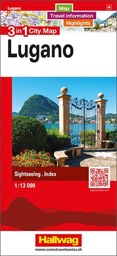
The double-sided city maps include all essential information:- detailed and clear representation of town centre- appealing 3D-display of selected typical buildings- brief description of 16 highlights in 4 languages complemented with attractive pictures- useful additional information for a successful trip (vicinity map, public transport, travel information, climate chart, index of important streets)- up-to-date amendments via
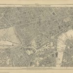
Germany Marco Polo Road Atlas 2020/2021
Germany Road Atlas at 1:300,000 from MairDumont in an A4 spiral-bound format, with 10 enlargements at 1:100,000 showing the Ruhr and other large urban conurbations in greater detail, street plans of 35 main cities, mapping of Europe for route planning, etc. A special feature of MairDumontโ€s range of โ€Marco Poloโ€ maps and atlases is a
Locarno – Val Verzasca
Locarno – Val Verzasca area, including Valle Maggia, at 1:50,000 in a series from Hallwag covering Switzerlandโ€s popular hiking regions on light, waterproof and tear-resistant maps highlighting long-distance paths: the nine national routes plus special regional routes, as well as other local hiking trails.Cartography is similar to that used both in Hallwagโ€s hiking atlases and
Vallemaggia
Vallemaggia at 1:50,000 in a series from Hallwag covering Switzerlandโ€s popular hiking regions on light, waterproof and tear-resistant maps highlighting long-distance paths: the nine national routes plus special regional routes, as well as other local hiking trails.Cartography is similar to that used both in Hallwagโ€s hiking atlases and in the walking series from Kรผmmerly +
Solothurn – Weissenstein – Passwang
Solothurn area at 1:50,000 in a series from Hallwag covering Switzerlandโ€s popular hiking regions on light, waterproof and tear-resistant maps highlighting long-distance paths: the nine national routes plus special regional routes, as well as other local hiking trails.Cartography is similar to that used both in Hallwagโ€s hiking atlases and in the walking series from Kรผmmerly
Lausanne – Lavaux
Lausanne – Lavaux area at 1:50,000 in a series from Hallwag covering Switzerlandโ€s popular hiking regions on light, waterproof and tear-resistant maps highlighting long-distance paths: the nine national routes plus special regional routes, as well as other local hiking trails.Cartography is similar to that used both in Hallwagโ€s hiking atlases and in the walking series