Category Archives: Accessories
Pfaffenhofen a.d. Ilm – Neuburg-Schrobenhausen
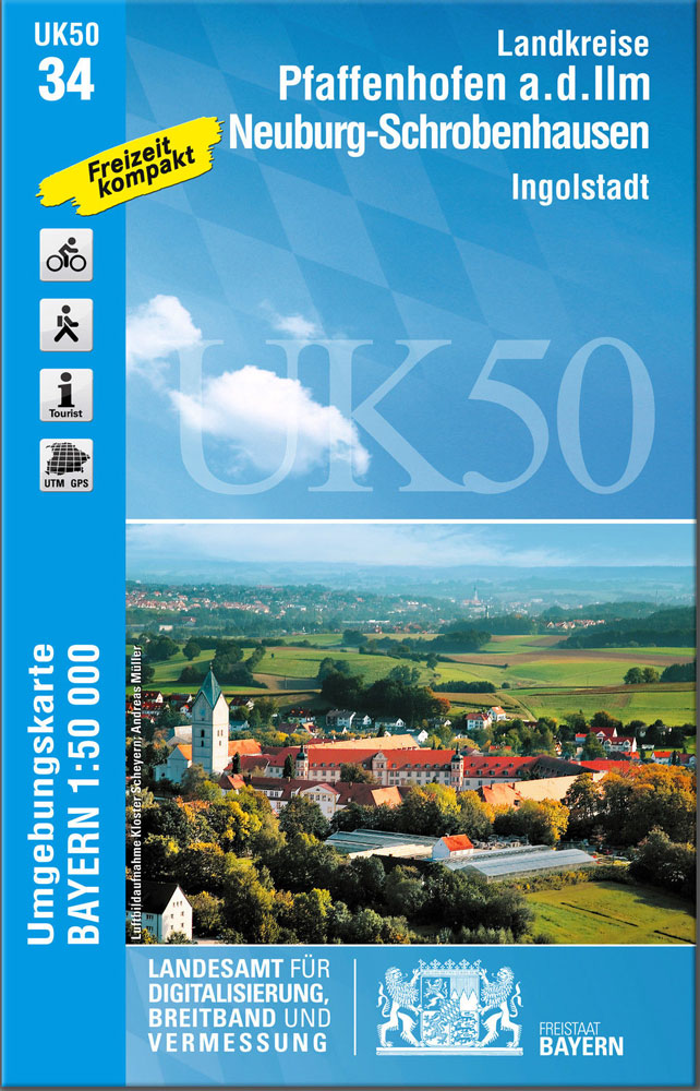
Pfaffenhofen a.d. Ilm – Neuburg-Schrobenhausen, map no. 50-34 covering an area which includes Aichach and the southern environs of Ingolstadt, in a series of special contoured and GP-compatible recreational maps from the Bavarian state survey organization, with cartography of the German topographic survey at 1:50,000 and extensive additional tourist overprint highlighting waymarked hiking trails and
Kaufbeuren and the Surrounding Area
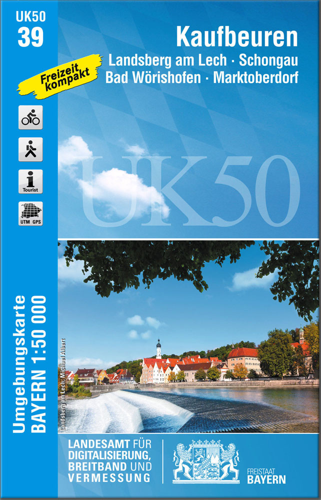
Kaufbeuren and the Surrounding Area, map no. 50-39 covering an area around Landsberg am Lech, Schongau, Bad Wรถrishofen and Marktoberdorf, in a series of special contoured and GP-compatible recreational maps from the Bavarian state survey organization, with cartography of the German topographic survey at 1:50,000 and extensive additional tourist overprint highlighting waymarked hiking trails and

Lindau – Naturpark Nagelfluhkette
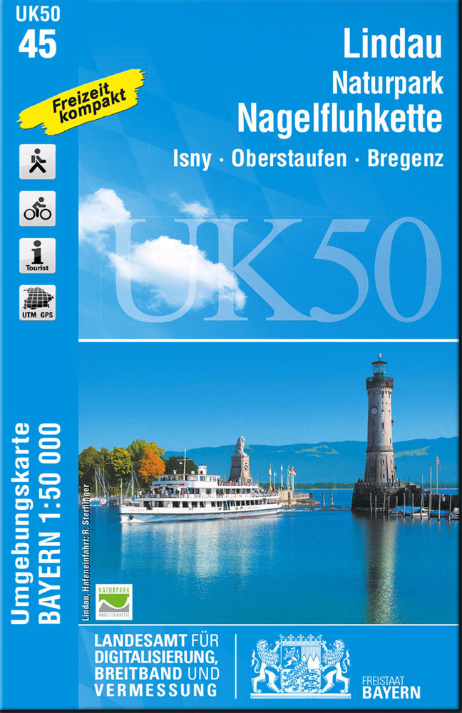
Lindau – Naturpark Nagelfluhkette, map no. 50-45 covering an area around Isny, Oberstaufen and Bregenz, in a series of special contoured and GP-compatible recreational maps from the Bavarian state survey organization, with cartography of the German topographic survey at 1:50,000 and extensive additional tourist overprint highlighting waymarked hiking trails and cycling routes, campsites and youth
Augsburg
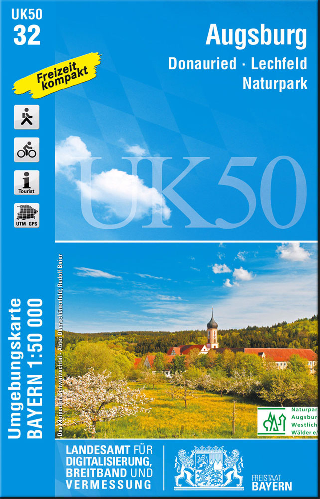
Augsburg map UK50-32, in a series of special contoured and GP-compatible recreational maps from the Bavarian state mapping agency, with cartography at 1:50,000 and additional tourist overprint highlighting hiking trails and cycling routes, campsites and youth hostels, etc.Maps in this series have cartography identical to the standard topographic survey of Germany. Topography is vividly presented
Pfaffenwinkel – Northern Ammergau Alps UK50-49
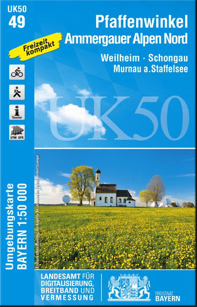
Pfaffenwinkel – Northern Ammergau Alps, map no. 50-49 covering an area around Weilheim, Schongau, Staffelsee, Kochelsee and Walchensee, in a series of special contoured and GP-compatible recreational maps from the Bavarian state survey organization, with cartography of the German topographic survey at 1:50,000 and extensive additional tourist overprint highlighting waymarked hiking trails and cycling routes,