Category Archives: Accessories
Starnberger See – Ammersee Kompass 180
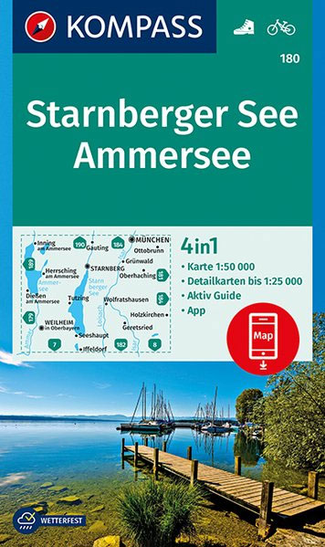
Starnberger See – Ammersee area of Bavaria, map no. 180, a detailed, GPS compatible map at 1:50,000 from Kompass with local and long-distance footpaths, cycling routes, accommodation, etc, printed on durable, waterproof and tear-resistant synthetic paper. KOMPASS HIKING & RECREATIONAL MAPS:This title is part of an extensive series covering Austria, much of Germany and the
Weinviertel 2-Map Set Kompass 204
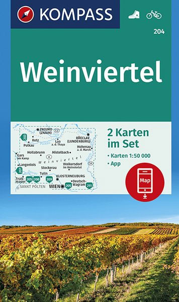
Map No. 204, Weinviertel (2-map set), including a nature guide to local wild flowers, in a series of hiking maps from Kompass providing extensive coverage of Austria and Germany plus the Slovenian Alps, with hiking routes on a topographic base, various types of accommodation, recreational facilities, places of interest, etc. Many titles are now published
Chiemsee – Simssee Kompass 792
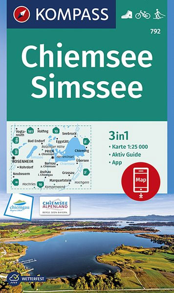
Chiemsee and Simssee lakes in the Bavarian Alps on a detailed, GPS compatible map at 1:50,000 from Kompass with local and long-distance footpaths, cycling routes, accommodation, etc, printed on durable, waterproof and tear-resistant synthetic paper.KOMPASS HIKING & RECREATIONAL MAPS: this title is part of an extensive series covering Austria, much of Germany and the Slovenian
Wachau – Kamptal Kompass 207
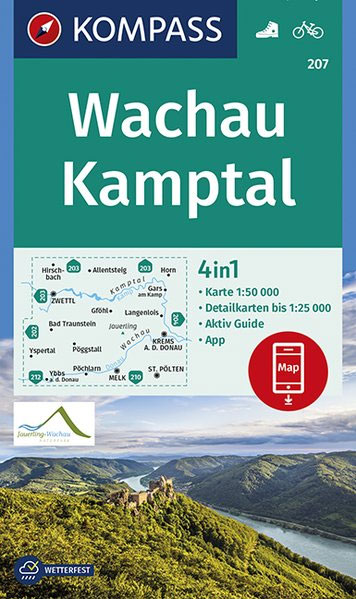
Wachau โ€“ Kamptal area of Austria on a detailed, GPS compatible map at 1:50,000 from Kompass with local and long-distance footpaths, cycling routes, accommodation, etc, printed on durable, waterproof and tear-resistant synthetic paper.KOMPASS HIKING & RECREATIONAL MAPS: this title is part of an extensive series covering Austria, much of Germany and the Slovenian Alps โ€“
Valle di Non / Nonstal – Passo della Mendola / Mendelpass Kompass 95

Valle di Non (Nonstal) area of the Dolomites west of Bolzano on a GPS compatible hiking and recreational map at 1:50,000 from Kompass.KOMPASS HIKING MAPS OF ITALY:This title is part of an extensive series of walking maps from Kompass covering selected areas of Italy at mainly 1:50,000, with a GPS compatible, contoured topographic base, extensive
Tauber Valley – Hohenlohe Plain Kompass 772

Tauber Valley and the Hohenlohe Plain on the border of Baden-Wรผrttemberg and Bavaria on a detailed, GPS compatible map at 1:50,000 from Kompass with local and long-distance footpaths, cycling routes, accommodation, etc, printed on durable, waterproof and tear-resistant synthetic paper.KOMPASS HIKING & RECREATIONAL MAPS: this title is part of an extensive series covering Austria, much
NP Kellerwald-Edersee – Habichtswald NP – Medebach Hiking Region Kompass 845

Kellerwald National Park – Edersee – Habichtswald Nature Park โ€“ Medebach Hiking Region (No. 845), a detailed, GPS compatible map at 1:50,000 from Kompass with local and long-distance footpaths, cycling routes, accommodation, etc, printed on durable, waterproof and tear-resistant synthetic paper. KOMPASS HIKING & RECREATIONAL MAPS:This title is part of an extensive series covering Austria,
Feldberg – Todtnau – Kirchzarten – Hinterzarten Kompass 891
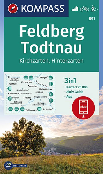
Feldberg – Todtnau area of the Black Forest in a detailed, GPS compatible map at 1:50,000 from Kompass with local and long-distance footpaths, cycling routes, accommodation, etc, printed on durable, waterproof and tear-resistant synthetic paper. KOMPASS HIKING & RECREATIONAL MAPS:This title is part of an extensive series covering Austria, much of Germany and the Slovenian
Kraichgau – Karlsruhe – Landau i.d. Pfalz – Speyer – Bretten – Pforzheim Kompass 768
Kraichgau – Wiesloch – Bruchsal – Eppingen – Wingarten area of Baden-Wรผrttemberg east of Karlsruhe on a detailed, GPS compatible map at 1:50,000 from Kompass with local and long-distance footpaths, cycling routes, accommodation, etc, printed on durable, waterproof and tear-resistant synthetic paper.KOMPASS HIKING & RECREATIONAL MAPS: this title is part of an extensive series covering
Dresden – Meissen – Tharandter Wald Kompass 809
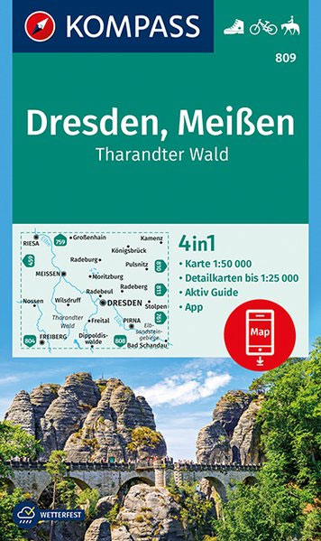
Dresden – Meissen – Tharandter Wald area of Saxony on a detailed, GPS compatible map at 1:25,000 from Kompass with local and long-distance footpaths, cycling routes, accommodation, etc, printed on durable, waterproof and tear-resistant synthetic paper.KOMPASS HIKING & RECREATIONAL MAPS: this title is part of an extensive series covering Austria, much of Germany and the
Erfurt – Weimar – Jena – Gera – Halle (Saale) 2-Map Set Kompass 457
Map No. 857, Gotha – Erfurt – Weimar – Thรผringer Becken – Saale – Unstrut – Triasland (2-map set), including a nature guide to local wild flowers in a series of hiking maps from Kompass providing extensive coverage of Austria and Germany plus the Slovenian Alps, with hiking routes on a topographic base, various types
Gesause – Ennstal Alps – Pyhrnpass – Eisenerz Kompass 69
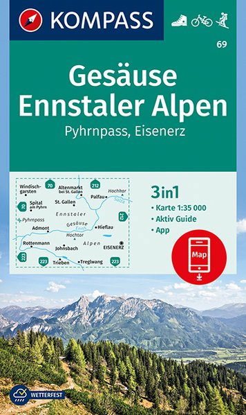
Map No. 69, Gesรคuse – Pyhrn – Eisenerz, in a series of hiking maps from Kompass providing extensive coverage of Austria and Germany plus the Slovenian Alps, with hiking routes on a topographic base, various types of accommodation, recreational facilities, places of interest, etc. Many titles are now published as competitively priced sets of two
Glocknergruppe – Hohe Tauern National Park Kompass 39
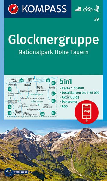
Map No. 39, Glocknergruppe – Hohe Tauern National Park, printed an sturdy waterproof and tear-resistant plastic paper and with a panorama map on the reverse, in a series of hiking maps from Kompass providing extensive coverage of Austria and Germany plus the Slovenian Alps, with hiking routes on a topographic base, various types of accommodation,
Augsburg Western Forests Kompass 162
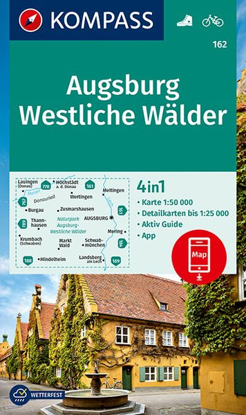
Augsburg and its Western Environs in northern Bavaria on a detailed, GPS compatible map at 1:50,000 from Kompass with local and long-distance footpaths, cycling routes, accommodation, etc, printed on durable, waterproof and tear-resistant synthetic paper.KOMPASS HIKING & RECREATIONAL MAPS: this title is part of an extensive series covering Austria, much of Germany and the Slovenian
Linz and Environs – Mรผhlviertel – Wels – Steyr 2-Map Set Kompass 202
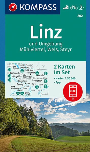
Map No. 202, Mรผhlviertel – Linz – Wels – Steyr (2-map set), including a nature guide to local wild flowers, in a series of hiking maps from Kompass providing extensive coverage of Austria and Germany plus the Slovenian Alps, with hiking routes on a topographic base, various types of accommodation, recreational facilities, places of interest,
Landsberg am Lech – Ammersee Kompass 189
Landsberg – Ammersee (No. 189), a detailed, GPS compatible map at 1:50,000 from Kompass with local and long-distance footpaths, cycling routes, accommodation, etc, printed on durable, waterproof and tear-resistant synthetic paper. KOMPASS HIKING & RECREATIONAL MAPS:This title is part of an extensive series covering Austria, much of Germany and the Slovenian Alps. Kompass are Europeโ€s
Innviertel – Hausruck 2-Map Set Kompass 201
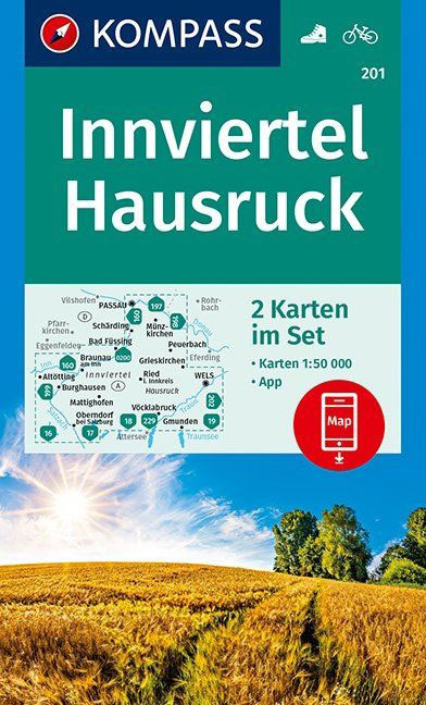
Map No. 201, Innviertel – Hausruckwald (2-map set), including a nature guide to local wild flowers, in a series of hiking maps from Kompass providing extensive coverage of Austria and Germany plus the Slovenian Alps, with hiking routes on a topographic base, various types of accommodation, recreational facilities, places of interest, etc. Many titles are