Category Archives: Accessories
Great Britain Constituency Maps 2017
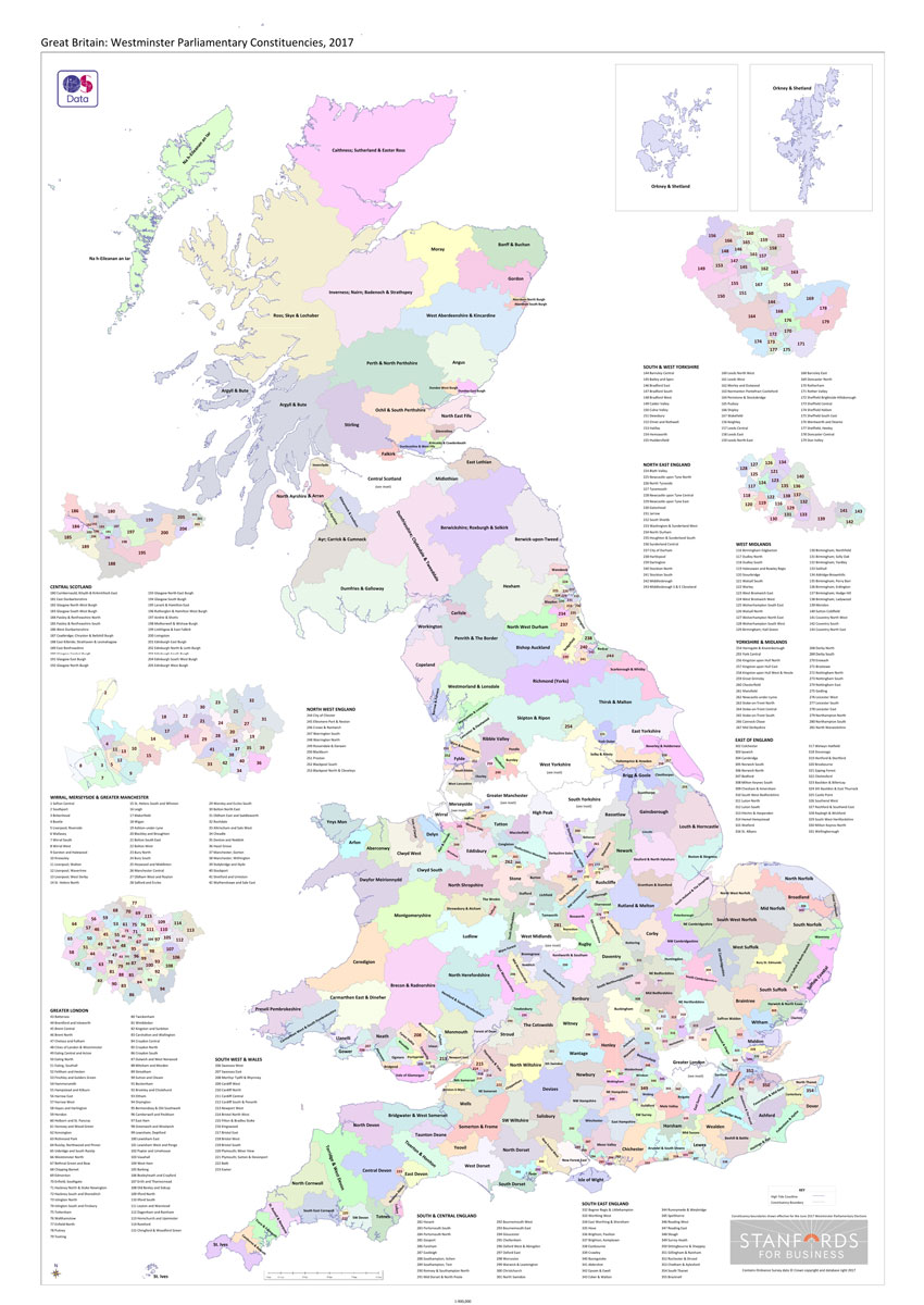
Great Britain: Westminster Parliamentary Constituencies map. Using Ordnance Survey data weโ€ve shown all of the current up to-date constituency boundaries so you can get to know the electoral geography of Great Britain. Large scale inserts of the following metropolitan areas: London, Central Scotland, South & West Yorkshire, the West Midlands, Wirral, Merseyside & Greater Manchester
Geo4Map – Hiking 25K Maps
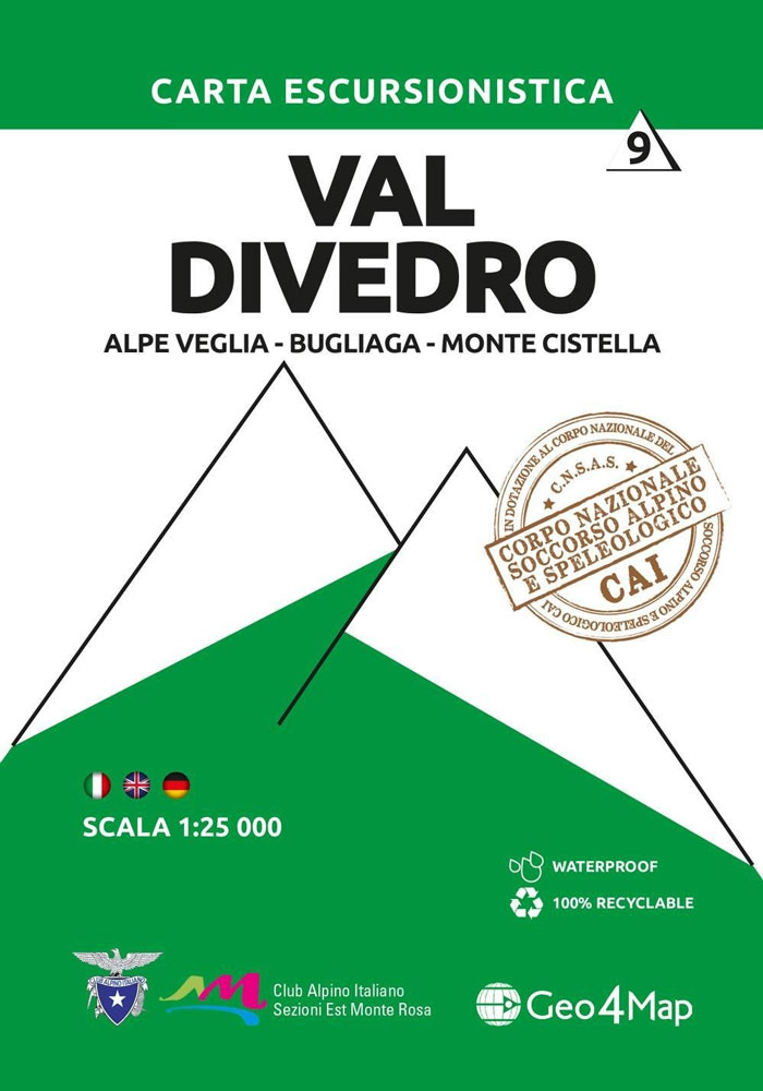
Published in association with the CAI, the Italian Alpine Club, who are responsible for the trails. Trails are marked on the map. The key information and more detailed information on the rear of the sheet are in Italian, German and English. Printed on waterproof, tear-proof paper.
Geo4Map – Winter Sports 25K Maps
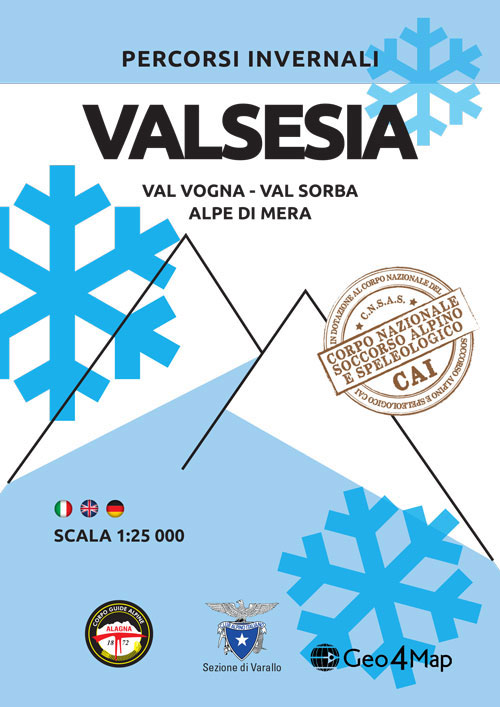
Published in association with the CAI, the Italian Alpine Club, who are responsible for the trails. Ski touring and snowshoe trails are marked on the map together with winter hiking routes and ski slopes. The key information and more detailed information on the rear of the sheet are in Italian, German and English. Printed on


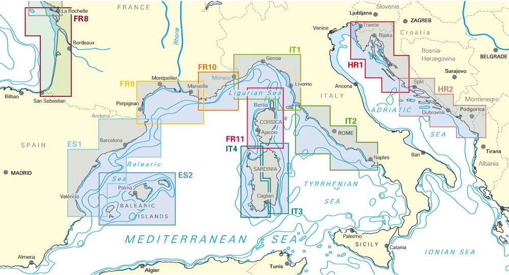
Cuban Yachting Chart Folios
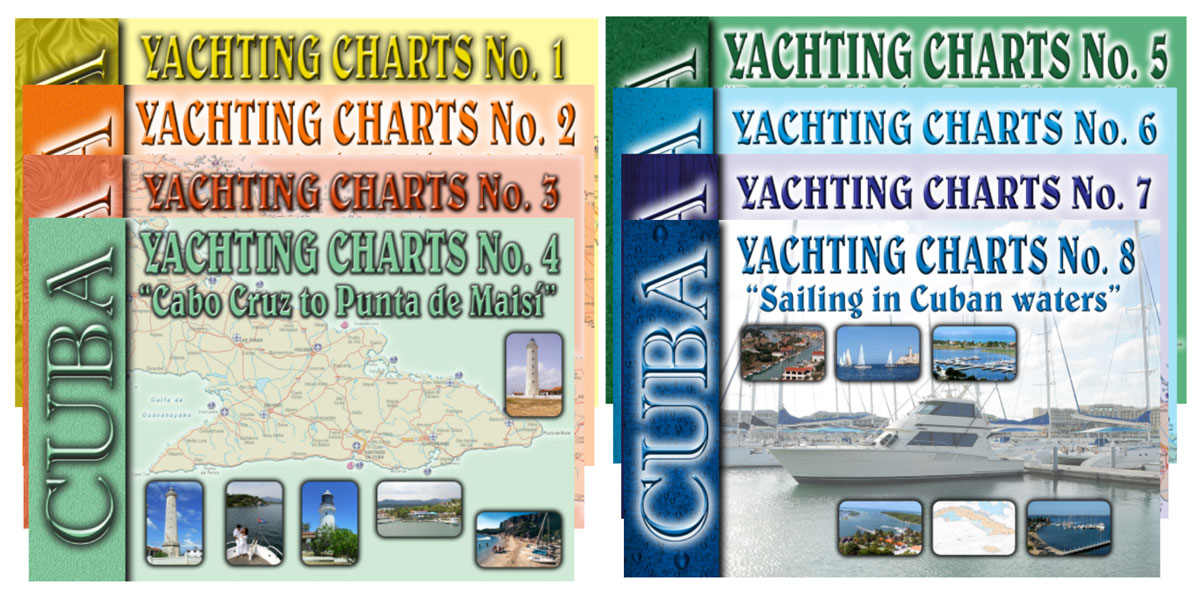
We are very glad to be able to supply you with the official Cuban Hydrographic Office charts. 8 Yachting Chart Folios (chart books) covering Cuban waters, published and updated frequently by GeoCuba, can be ordered from Stanfords. In addition, we can procure individual standard Cuban navigational charts, with approximately 170 titles available. To order the