Category Archives: Accessories
Great Britain Constituency Maps 2017
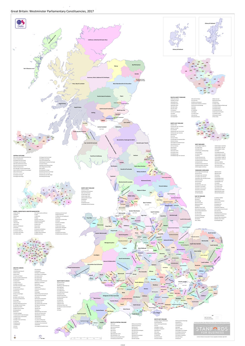
Great Britain: Westminster Parliamentary Constituencies map. Using Ordnance Survey data weโ€ve shown all of the current up to-date constituency boundaries so you can get to know the electoral geography of Great Britain. Large scale inserts of the following metropolitan areas: London, Central Scotland, South & West Yorkshire, the West Midlands, Wirral, Merseyside & Greater Manchester
Michelin Green Guides: France – FRENCH Editions
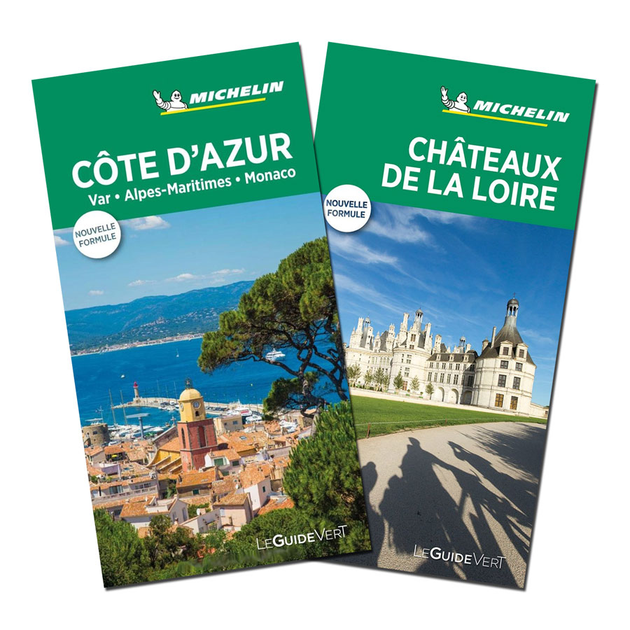
Michelinโ€s Green Guide series covering France, with all the regions available either in English editions or in French versions. Drawing on Michelinโ€s long experience, the guides are renowned for their individual โ€star ratingโ€ of sights and attractions. Listings in each guide are organized alphabetically, allowing readers to access information quickly. Towns are given overall star
Finland: Karttakeskus Water Touring Maps
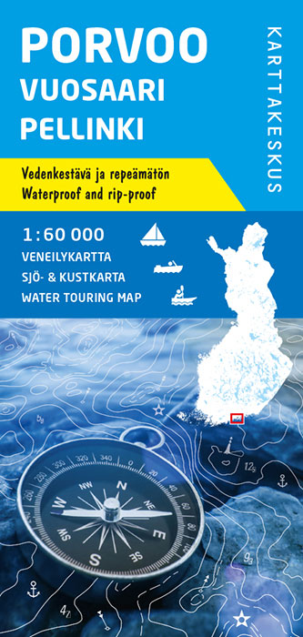
Karttakeskusโ€ Water touring maps are a completely new type of map series. The pre-folded maps made of waterproof and rip-proof material can fit into a small space on the boat, but when opened, they cover a wide area. In this way, the water touring map is e.g. an excellent planning tool alongside electronic navigation solutions,