Category Archives: Accessories
Pepin CCB Art Nouveau Tiles
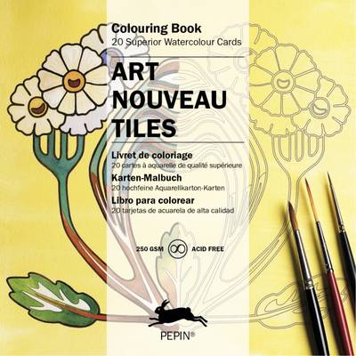
PEPIN(R) Colouring Cards Books contain 20 cards, made of the same fine acid-free watercolour paper as our watercolour Postcards Books. The 250 gsm cards are thick enough to make them suitable for mailing and they fit into square 160 x 160 mm envelopes; a standard size available from most stationery shops.
Art Deco – Giant Atrists` Colouring Book
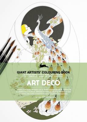
PEPIN(R) Giant Artists` Colouring Books contain 24 sheets (2 x 12 designs) of superior-quality acid-free drawing paper in A3 size. The designs are precise representations of masterpieces of art and design – very intricate and challenging and suitable for serious colourists and art students. Each design is included twice, so that you can either create
Ath NGI Topo 38

Topographical survey of Belgium at 1:50,000 from the countryโ€s national survey organization, Nationaal Geografisch Instituut / Institut Gรฉographique National. Contour interval varies according to the terrain, from 2.5 metres in the coastal areas to 10 metres in the Ardennes. The maps provide all the information expected of topographic mapping at this scale and additionally have
The The People Spotter`s Guide Vol. 1: A Field Guide to Humans: 1
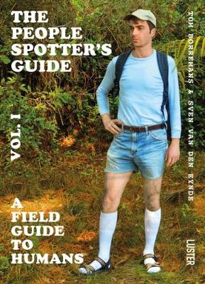
The People Spotter`s Guide, Vol 1 is a tongue-in-cheek catalogue, presenting over 100 types of humans. Every type is illustrated with a photo and – of course satirical – text, to help you spot these people in the wild. So you might run into an example of the Homo Securitatis Inferioris (security agents who don`t
Waremme NGI Topo 41
Topographical survey of Belgium at 1:50,000 from the countryโ€s national survey organization, Nationaal Geografisch Instituut / Institut Gรฉographique National. Contour interval varies according to the terrain, from 2.5 metres in the coastal areas to 10 metres in the Ardennes. The maps provide all the information expected of topographic mapping at this scale and additionally have
The South of France for Art Lovers
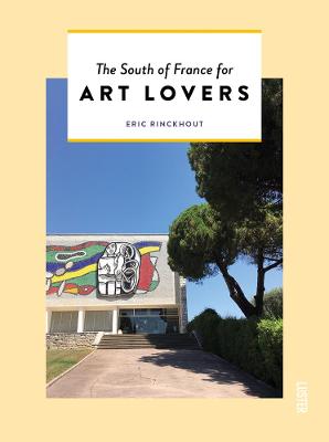
There`s more to the South of France than sun, beaches, palm trees and the azure blue sea. For over a hundred years, it has been the favourite destination of many artists, who find themselves drawn to the superb light and the pleasant climate. The South of France for Art Lovers will show you what the
Pรฉruwelz NGI Topo 44

Topographical survey of Belgium at 1:50,000 from the countryโ€s national survey organization, Nationaal Geografisch Instituut / Institut Gรฉographique National. Contour interval varies according to the terrain, from 2.5 metres in the coastal areas to 10 metres in the Ardennes. The maps provide all the information expected of topographic mapping at this scale and additionally have
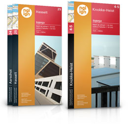
Arendonk NGI Topographic Map 3-9

Topographical survey of Belgium at 1:50,000 from the countryโ€s national survey organization, Nationaal Geografisch Instituut / Institut Gรฉographique National. Contour interval varies according to the terrain, from 2.5 metres in the coastal areas to 10 metres in the Ardennes. The maps provide all the information expected of topographic mapping at this scale and additionally have
Aarschot NGI Topographic Map 24
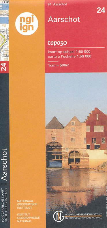
Topographical survey of Belgium at 1:50,000 from the countryโ€s national survey organization, Nationaal Geografisch Instituut / Institut Gรฉographique National. Contour interval varies according to the terrain, from 2.5 metres in the coastal areas to 10 metres in the Ardennes. The maps provide all the information expected of topographic mapping at this scale and additionally have
Liรจge NGI Topographic Map 42
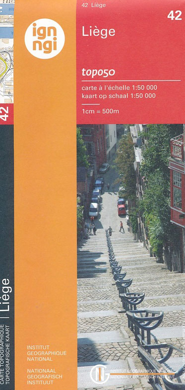
Topographical survey of Belgium at 1:50,000 from the countryโ€s national survey organization, Nationaal Geografisch Instituut / Institut Gรฉographique National. Contour interval varies according to the terrain, from 2.5 metres in the coastal areas to 10 metres in the Ardennes. The maps provide all the information expected of topographic mapping at this scale and additionally have
Huy NGI Topographic Map 48
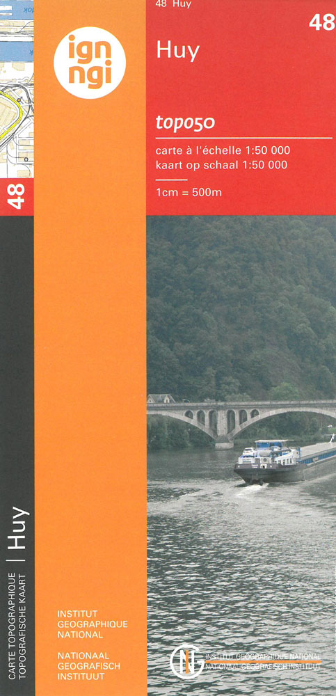
Topographical survey of Belgium at 1:50,000 from the countryโ€s national survey organization, Nationaal Geografisch Instituut / Institut Gรฉographique National. Contour interval varies according to the terrain, from 2.5 metres in the coastal areas to 10 metres in the Ardennes. The maps provide all the information expected of topographic mapping at this scale and additionally have
Gedinne NGI Topographic Map 63-66
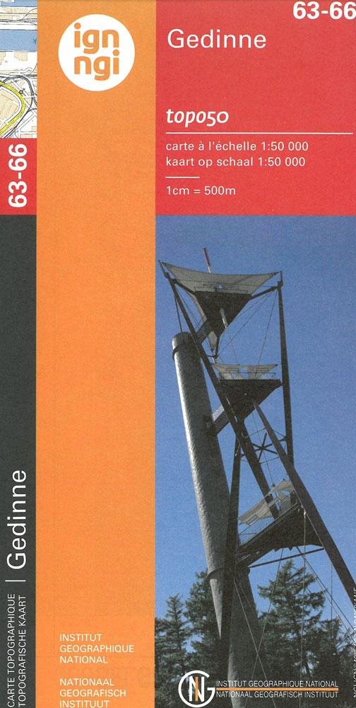
Topographical survey of Belgium at 1:50,000 from the countryโ€s national survey organization, Nationaal Geografisch Instituut / Institut Gรฉographique National. Contour interval varies according to the terrain, from 2.5 metres in the coastal areas to 10 metres in the Ardennes. The maps provide all the information expected of topographic mapping at this scale and additionally have