Disclosure : This site contains affiliate links to products. We may receive a commission for purchases made through these links.
Catalonia Tourist Road – Regional Divisions Map
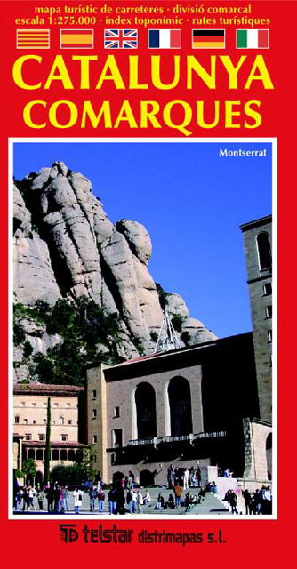
Catalonia on a large indexed map at 1:275,000 showing the road network on a base with the region’s administrative subdivisions ‘“ the comarques ‘“ each presented in a different colour. Names of towns indicate their administrative status and/or the number of inhabitants.The map is designed to show main and secondary routes; smaller local roads are included but difficult to see, as are railway lines. National and regional nature parks are marked and symbols indicate various facilities and places of interest, including paradors, mountain shelters, churches and monasteries, etc. The map has no geographical coordinates. The index is in a separate booklet. Map legend includes English. The map includes a list of the comarques with their area and population, a distance table, plus on the reverse multilingual descriptions of five recommences sightseeing routes.

Related Products:
 Catalonia ICGC Road Map
 Catalonia Auotomous Community CNIG Physical Road Map
 Aragon – Catalonia Michelin Regional 574
Catalonia ICC Road Atlas
Aragon – Catalonia Michelin Regional 574
Catalonia ICC Road Atlas
 Monti Iblei – South-Eastern Sicily Global Map Tourist Map
 Catalonia Editorial Alpina Road Map
 Southern Italy – Sardinia – Sicily TCI 400K Road and Tourist Map
 Northern Italy TCI 400K Road and Tourist Map
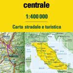 Central Italy TCI 400K Road and Tourist Map
 Spain: Catalonia Topographic Atlas
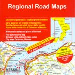 Italy: MairDumont Marco Polo 200K Regional Road Maps
Mexico Road and Tourist Atlas
Italy: MairDumont Marco Polo 200K Regional Road Maps
Mexico Road and Tourist Atlas
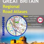 Great Britain: Philip`s Navigator Regional Road Atlases
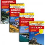 Spain: Mairdumont 300K Regional Road Maps
 Sweden: Freytag & Berndt Regional Road Maps
 Bulgaria Road Atlas
 Catalonia Topographic Map
Iceland Road Atlas 500K
Catalonia Topographic Map
Iceland Road Atlas 500K
 Argentina: Firestone Regional Road Maps
 Anyksciai Regional Park Tourist Map
 Czech Republic 100K Tourist Road Atlas
 Central Macedonia Terrain Editions Regional Map 2
Grazute – Sartai Regional Parks Tourist Map
Central Macedonia Terrain Editions Regional Map 2
Grazute – Sartai Regional Parks Tourist Map
 Pyrenees – Costa Brava – Basque Country – Navarra – Aragon – Andorra – Catalonia
 Barcelona & Catalonia ITMB
 Spain: Michelin Regional Road Maps
 Campania – Basilicata – Naples – Potenza – Bari K+F Regional Road Map 12
 Emilia-Romagna – Parma – Bologna – Ravenna K+F Regional Road Map 7
 Barcelona Province
 Abruzzo – Molise – l`Aquila – Pescara – Campobasso K+F Regional Road Map 11
 Epirus and Western Macedonia Terrain Editions Regional Map 3
 Comarques Centrales
 Italy: Touring Club Italiano 200K Regional Road Maps
 Larmaka Street Plan and District Road Map
Maremma – Grossetana Global Map Tourist Map
Larmaka Street Plan and District Road Map
Maremma – Grossetana Global Map Tourist Map
 Etruscan Coast – Pisa – Livorno – Piombino Global Map Tourist Map
 Thrace and Eastern Macedonia Terrain Editions Regional Map 1
Nadmorski Regional Park – Hel Peninsula ExpressMap Tourist Map
Thrace and Eastern Macedonia Terrain Editions Regional Map 1
Nadmorski Regional Park – Hel Peninsula ExpressMap Tourist Map