Disclosure : This site contains affiliate links to products. We may receive a commission for purchases made through these links.
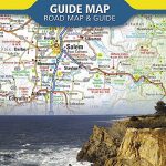
Cascades Destination Map
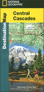
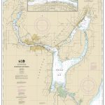
The Cascades in Washington Stare presented at 1:746,000 by the National Geographic in their Destination Map series with highlighting for protected areas and tourist notes, plus on the reverse enlargements showing in more detail three most scenic areas: Mount Rainier, Crater Lake and Columbia River Gorge.Printed on light, waterproof and tear-resistant synthetic paper, the map extends along the Cascades from south of Seattle (including the city’s international airport) to the state border. Road numbers are clearly shown. Topography is presented by shading based on the satellite imagery. Various types of protected areas are indicated by the colouring for their borders. Symbols show locations of breweries/pubs, wineries, etc. The map has latitude and longitude lines at 1ยฐ intervals and is surrounded by notes with descriptions of various places of interest, cross-referenced to the map. On the reverse three areas are presented on more detailed maps: Mount Rainier National Park, Crater Lake National Park, and the Columbia River Gorge National Scenic Area, each with a description and tourist tips. Also provided are notes and tables about recreational facilities in the region.To see other titles in this series please click on the series list.

Related Products:
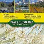
 North Cascades National Park WA
 Canadian Rockies NGS Destination Map
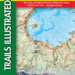
 Pacific Crest Trail – Oregon North NGS Topographic Map-Guide 1004
 Sierra Nevada Destination Map
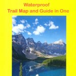
 Wonderland Trail – Mount Rainier National Park Map-Guide
 Columbia River Gorge OR/WA
 Mount Rainier National Park WA
 Pacific Northwest NGS Adventure Map 3118
 Crater Lake National Park OR NGS Trails Illustrated Map 244
 USA: National Geographic Destination Maps of Popular Scenic Regions
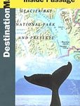 Alaska`s Inside Passage NGS Destination Map
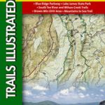
 Blue Ridge Parkway NC/VA Destination Map
 New River Gorge National River WV
 Banff & Mount Assiniboine Gem Trek
 Four Corners Region Destination Map
 Oregon NGS Guide Map
 Best Coast: A Road Trip Atlas: Illustrated Adventures along the West Coast`s Historic Highways
 Banff National Park Gem Trek
 Jasper National Park & Northern Alberta ITMB
 Jasper & Maligne Lake Gem Trek
 National Parks of the United States NGS Destination Map
 Oregon Moon Guide
 Paddling the Columbia: a Guide to All 1245 Miles of Our Scenic and Historical River
 Kilimanjaro National Park
 Murray River and Mallee, SA
 Banff – Yoho & Kootenay NP Recreation Map & Visitor Guide
 Moon Pacific Northwest Camping: The Complete Guide to Tent and RV Camping in Washington and Oregon
 London NGS City Destination Map
 Texas Hill Country Destination Map
 Pacific Crest Trail – Oregon South NGS Topographic Map-Guide 1005
 Columbia Icefield Gem Trek Map
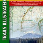 Mount St Helens – Mount Adams – Gifford-Pinchot National Forest WA
 Pacific Northwest USA 01 Hallwag Road Map
 Adirondack Park – Lake George – Great Sacandaga NY
 Mt Baker – Boulder River Wilderness Areas – Mt Baker-Snoqualmie National Forest WA
 Aulavik National Park, Northwest Territories
 Moon Washington Camping: The Complete Guide to Tent and RV Camping
 Pisgah National Forest – Linville Gorge – Mt. Mitchell NC
 Wisconsin`s Door Peninsula Destination Map
 New York`s Finger Lakes Destination Map