Disclosure : This site contains affiliate links to products. We may receive a commission for purchases made through these links.
Cape York – Old Telegraph Track Hema
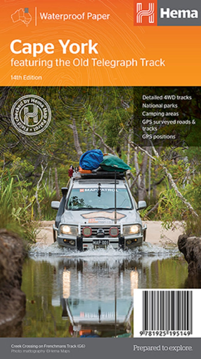
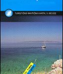
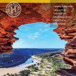
Cape York, the northernmost part of Queensland, on a waterproof and tear-resistant road map from Hema covering the whole region north of Cairns and the Savannah Way at 1:1,000,000, plus an enlargement of “The Tip” at 1:250,000. Extensive tourist information indicates GPS waypoints, accommodation options, fuel supplies, etc.On the main map relief shading and spot heights show the area’s topography, with aboriginal lands, national parks, and other protected areas highlighted by colours. Road information is divided into two groups: roads and tracks which were plotted with a GPS and computer during the fieldwork carried out by Hema, plus other tracks shown on the country’s 1:250,000 topographic survey maps and on other sources but not specifically verified by the publishers. An extensive range of symbols highlights numerous facilities, including availability of various types of fuel, accommodation and meals, police stations and medical facilities, etc. Many places of interest are annotated with brief descriptions. The map has GPS waypoints for important road junctions, a grid showing latitude and longitude at 30’ intervals, plus an index of localities with full GPS coordinates.On the reverse, the tip of the peninsula north of the Bramwell Junction is shown at 1:250,000, with more GPS waypoints, notes on possible hazards, information on access to beaches, etc. The map has both a UTM grid and latitude/longitude at 15’. Extensive accompanying text includes descriptions of places of interest, contact details, a list of events, etc.To see other titles in Hema’s series of regional maps of Australia please click on the series grid.

Related Products:
 North Queensland – from Cape York to Mackay Hema Explorer Map
 Cape York Hema Atlas & Guide A4 SPIRAL-BOUND
 Central Australia Hema 4WD Explorer Map
 Western Australia Hema Road & 4WD Track Atlas A4 SPIRAL-BOUND
Australia: Hema Regional Road Maps
Western Australia Hema Road & 4WD Track Atlas A4 SPIRAL-BOUND
Australia: Hema Regional Road Maps
 Pilbara and Coral Coast Hema Waterproof Map
North East New South Wales – Coffs Harbour to Brisbane Hema Explorer Map
Pilbara and Coral Coast Hema Waterproof Map
North East New South Wales – Coffs Harbour to Brisbane Hema Explorer Map
 Melbourne to Adelaide – featuring the Great Ocean Road and Victorian Goldfields Hema Touring Map
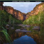 Top End National Parks: Litchfield – Katharine – Kakadu Hema
 Australia Hema Road & 4WD Atlas SPIRAL-BOUND
 Australia Hema Road & 4WD Atlas PAPERBACK
 Flinders Ranges SA Hema
 Central Queensland Hema
 Australia Hema Road & 4WD Easy Read Atlas SPIRAL-BOUND
 Australia Hema Road & 4WD Touring Atlas A4 SPIRAL-BOUND
 Central Queensland – Hervey Bay to Mackay Hema
 Victoria Hema
 Australia Hema Handy Atlas SPIRAL-BOUND
Outback Queensland – Camooweal to Stanthorpe Hema Explorer Map
Australia Hema Handy Atlas SPIRAL-BOUND
Outback Queensland – Camooweal to Stanthorpe Hema Explorer Map
 Outback Queensland Hema
 Mid West Western Australia Hema
 Australia: Hema State Road Maps
 Western Australia Hema
 Australia Hema Motorcycle Atlas Set – 200 Top Rides SPIRAL-BOUND
 Brisbane to Cairns Hema
 Red Centre – Alice Springs to Uluru NT Hema
 Queensland Hema
 South Australia Hema
 Australia Great Desert Tracks Hema Atlas & Guide A4 SPIRAL-BOUND
 Top End and Gulf Hema Waterproof Map
 Northern Territory Hema
 North Island – New Zealand Hema
 Outback New South Wales – from Broken Hill to Tamworth Hema Explorer Map
 Australia: Hema Road Atlases and Touring/Camping Guides
 North East New South Wales Hema
 Sydney to Brisbane Hema
Tasmania Hema
Sydney to Brisbane Hema
Tasmania Hema
 South West Corner – Margaret River & Southern Forest Hema
 Binns Track
 New South Wales Hema