Disclosure : This site contains affiliate links to products. We may receive a commission for purchases made through these links.
Cape Town & Surrounding Attractions Map Studio
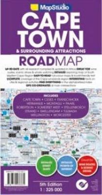
Coverage:- Cape Town- West Coast- Cape Winelands- Breede River Valley- Overberg- Route 43- Boland- Hex River Valley- Swartland- Whale Route- Route 62Content:- Detailed map for scenic drives of each region- Index of place names & big 6 attractions- Index of wine estates- Tourist sites- Historical sites- Lighthouses- Wine estates + wineries- Swimming beaches- Dive sites- Shipwreck sites- Whale watching sites- Birding sites- Farm stalls- 4ร—4 trails & hiking trails- MemorialsStreet Maps ‘“ 1 : 20 000- Stellenbosch- Franschhoek- Paarl- Wellington- Hermanus- Somerset West- Strand- Montagu- Robertson- Swellendam- Worcester- Ceres- Tulbagh- Cape Town CBD- Parks, Reserves & Nature Areas- Hotels & Caravan Parks- Tourist-friendly text on top sites with- Historic info- Shading indicating height above sea level- Listings of regional activities- Gps co-ordinates- All the back roads + gravel roads you need- Colour photos of main sites- Comprehensive contact info

Related Products:
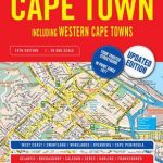 Cape Town – Western Cape Towns Map Studio Street Atlas
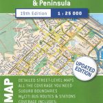 Cape Town & Peninsula Map Studio
 Cape Town Map Studio Pocket Map
 Day Drives from Cape Town
 The Rough Guide to Cape Town, The Winelands and the Garden Route
 Western Cape Map Studio
 Hike Cape Town: Top Day Trails in Cape Town and the Cape Peninsula
 Western Cape Map Studio Pocket Map
 Cape Town – Cape Peninsula NP & Winelands
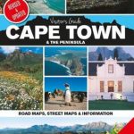 Cape Town & the Peninsula Map Studio Visitors Guide
 The ultimate guide to food, wine & adventure in Cape town and the Western Cape
 Cape Town Borch
 Cape Town F&B
 Lonely Planet Cape Town and the Garden Route City Guide
 100km around Cape Town
 Cape Town, Winelands and The Garden Route Marco Polo Guide
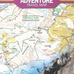 Cape Town & Peninsula NGS Adventure Map 3200
 Africa Cape to Cairo Map Studio
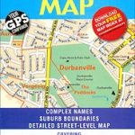 Cape Town – Northern Suburbs
 Cape Town & Garden Route ITMB
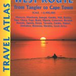 Africa West Route ITMB Travel Atlas – Tangier to Cape Town via Senegal
 DK Eyewitness Top 10 Cape Town and the Winelands
 Cape Town Flexi Map
 Cape Point – Simon`s Town – Fish Hoek
 Cape Town Walking Map
 Cape Town Marco Polo City Map
 Far North: Cape Reinga, Kaitaia, Kerikeri, Whangarei
 East Cape: Whakatane, Opotiki, Gisbourne, Wairoa
 Time Out Cape Town City Guide
 Africa Overland – Cairo to Cape Town ITMB Travel Atlas
 111 Places in Cape Town That You Must Not Miss
 Secret Cape Town
 Cape Town Agreement of 2012, 2018 edition
 Berlitz Pocket Guide Cape Town
 Scenic Day Drives from Cape Town
 The Last Train to Zona Verde – Overland From Cape Town to Angola
 Limpopo & North West Map Studio Pocket Map
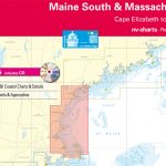 Reg 2.1 Massachusetts – Cape Elizabeth to Cape Cod
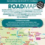 KwaZulu-Natal – Midlands – Drakensberg – Pietermaritzburg Map Studio
 Insight Guides Pocket Cape Town