Disclosure : This site contains affiliate links to products. We may receive a commission for purchases made through these links.
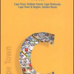
Cape Town & Peninsula Map Studio
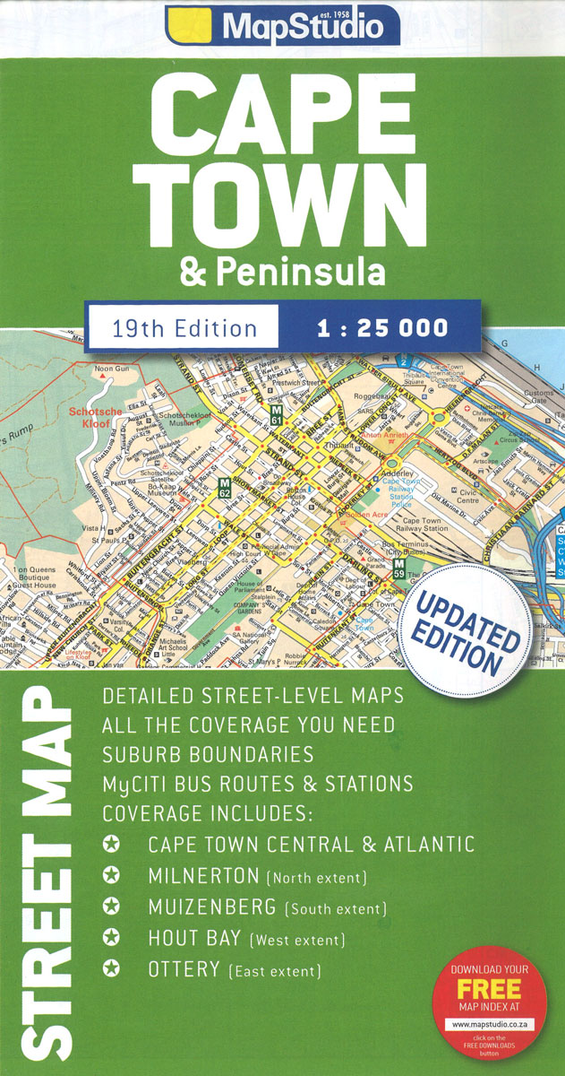
Cape Town with its outer districts on a large, double-sided street plan at 1:25,000 from Map Studio, with enlargements of the city centre and the Waterfront area, plus two detailed maps of the city’s motorway junctions.The map divides the city north/south, with a generous overlap between the sides. Motorways and other main traffic arteries are indicated by colouring. Motorway junctions are well drawn, with two more complicated ones (M3 to N2 and M5 to N1) presented enlarged on separate insets. One way streets, traffic lights, car parks and toll plazas are marked. A range of symbols highlight various places of interest, facilities and services, including shopping centres, caravan parks and wine estates with sales points. Street index is available as a free download.Enlargements show in greater detail Cape Town’s city centre and the Waterfront – Cape Town Stadium area. Also provided is a list of recent changes in place names.

Related Products:
 Cape Town Map Studio Pocket Map
 Cape Town & the Peninsula Map Studio Visitors Guide
 Cape Town – Western Cape Towns Map Studio Street Atlas
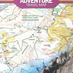 Cape Town & Peninsula NGS Adventure Map 3200
 Cape Town Marco Polo City Map
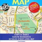 Cape Town – Northern Suburbs
 Cape Town Borch
 Hike Cape Town: Top Day Trails in Cape Town and the Cape Peninsula
 Western Cape Map Studio
 Cape Town – Cape Peninsula NP & Winelands
 Cape Town & Surrounding Attractions Map Studio
 Cape Peninsula
 Western Cape Map Studio Pocket Map
 Cape Town F&B
 Cape Town Walking Map
 Berlitz Pocket Guide Cape Town
 111 Places in Cape Town That You Must Not Miss
 Africa Overland – Cairo to Cape Town ITMB Travel Atlas
 The Rough Guide to Cape Town, The Winelands and the Garden Route
 DK Eyewitness Top 10 Cape Town and the Winelands
 Table Mountain & Cape Peninsula Map Studio
 Cape Town Flexi Map
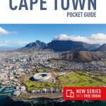 Insight Guides Pocket Cape Town
 Time Out Cape Town City Guide
 Day Drives from Cape Town
 Cape Point – Simon`s Town – Fish Hoek
 Cape Town, Winelands and The Garden Route Marco Polo Guide
 Secret Cape Town
 100km around Cape Town
 Lonely Planet Cape Town and the Garden Route City Guide
 The ultimate guide to food, wine & adventure in Cape town and the Western Cape
 Golfing in the Cape Peninsula
 Cape Town & Garden Route ITMB
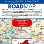 South Africa – Lesotho & Swaziland Map Studio
 South Africa Map Studio Road Atlas A4 PAPERBACK
 Cape Region – South Africa Reise Know-How
 Gauteng Map Studio Pocket Map
 Namibia Map Studio Adventure Map
 Johannesburg Map Studio Pocket Map
 Malawi Map Studio Adventure Map