Disclosure : This site contains affiliate links to products. We may receive a commission for purchases made through these links.
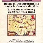
Cape Horn to Cabo Penas Historical Map
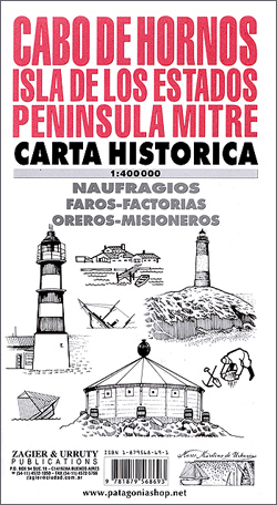
Historical map, based on old Argentinian naval charts, showing positions of numerous shipwrecks in the perilous waters around Tierra del Fuego, the Beagle Channel and around Cape Horn.Beautiful little drawings with names of lost ships indicate the type and size of the vessels: sailing ships, steamboats, modern ships, naval vessels, etc., and mark locations of the wrecks. On land the map shows historical lighthouses, gold mining settlements, gold mines and church missions. The map covers most of the Argentinian part of Tierra del Fuego, south of Cabo Peรฑas to the Beagle Channel, Isla de los Estados, Isla del Navarino and the small islands stretching southwards to Cape Horn. Latitude and longitude lines are drawn at 30’ intervals. Map legend is in Spanish only. In the margin is a long list of just some of the ships lost in these waters between 1643 and 1990.


