Disclosure : This site contains affiliate links to products. We may receive a commission for purchases made through these links.
Canadian Rockies NGS Destination Map
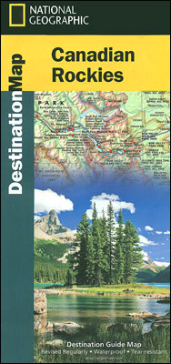
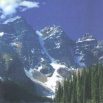
Canadian Rockies on a waterproof and tear-resistant touring map at 1:710,000 from the National Geographic Society vividly presenting the region’s topography and highlighting its numerous national parks and other protected areas, with on the reverse notes on the fauna, recreational possibilities, etc.On one side is the map of the region, extending from the US border northwards beyond the northern tip of the Jasper National Park, and east ‘“ west from Calgary and Edmonton in Alberta to Kalowna and the Okanagan Lake in British Columbia. Topography is shown by vivid relief shading and altitude colouring; peak heights are given both in feet and in metres. The region’s national parks: Banff, Jasper, Yoho, Kootenay, Mount Revelstoke and Waterton Lakes, as well as its numerous provincial parks, ecological or wildlife reserves and recreational areas are prominently highlighted. Also marked are various places of interest and historic sites. Road network indicates the course of the Trans-Canada highway. The map has latitude and longitude lines at intervals of 1ยฐ.On the reverse side two smaller maps help to place the main map in wider context, showing a slightly larger area with just the network of main roads for route planning, plus the whole of the western and central part of Canada. Extensive text, illustrated with colour photos, describes the national parks, local wildlife, recreational possibilities, history and culture, etc.


