Disclosure : This site contains affiliate links to products. We may receive a commission for purchases made through these links.
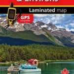
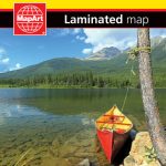
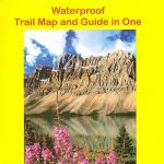
Canadian Rockies – Banff – Jasper – Yoho Gem Trek Map

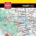
Canadian Rockies touring map at 1:400,000 from Gem Trek covering the main national parks: Banff, Jasper, Yoho and the adjoining smaller parks or wilderness areas, highlighting 29 places of interest, plus street plans of Calgary, Edmonton, Banff, Jasper and Lake Louise.On one side is a road map of Rockies at 1:400,000 showing access to Banff and Jasper National Parks and the Icefields Parkway from all directions. Coverage includes the adjoining Yoho and Kootenay and the nearby Glacier National Parks. Symbol indicate various facilities including car parks and picnic areas, visitors’ centres, different types of accommodation including campground, viewpoints, riding stables, etc. 29 points of interest marked on the map are accompanied by brief descriptions. Topography is very effectively presented by relief shading and altitude colouring, with plenty of names of peaks, passes icefields, etc. All heights are shown in metres and feet. The map has a 1ยฐ grid plus 15’ margin ticks.On the reverse are five large street plans, all annotated with places of interest: Edmonton, Calgary, Banff, Jasper and Lake Louise. The last three are accompanied by recommendation of best sights and include tables showing what facilities can be found in the campgrounds of the Banff and Kootenay area, Jasper NP, and the Lake Louse and Yoho area. Also provided is a general road map of the western half of Canada.


