Disclosure : This site contains affiliate links to products. We may receive a commission for purchases made through these links.
Canada FastTrack
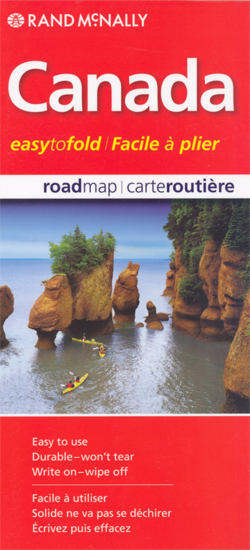
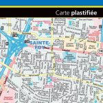
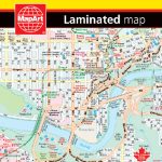
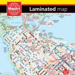
Canada Easy-to-Fold at 1:12,500,000 from the Canadian Cartographics Corporation; the map is laminated, so waterproof and tear-resistant and can be written on with suitable marker pens, and provides a very basic overview of the country and its road network, plus a list of main places of interest, a distance table and a map of USA.On one side is a general map of Canada showing its division into provinces and time zones. Coverage extends north just beyond Baffin Island. Topography is shown by relief shading, with names of main mountain ranges, rivers and lakes. Several national or provincial parks are highlighted. The map is indexed. Accompanying panels provided facts and figures about the country. On the reverse are bilingual lists of main places to visit in each province, a comprehensive distance table, plus an overview map of USA showing the main highways.*Please note:* following a number changes among Canadian cartographic publishers maps previously published by MapArt Publishing may now be available under one of the following imprints: MapArt, Canadian Cartographics Corporation or JDM Gรฉo Inc. Within a series, therefore, some titles may still be published as MapArt whilst others will be available as Canadian Cartographics Corporation or JDM Gรฉo Inc.

Related Products:
 Canada MapArt Road Atlas
 Canada MapArt
 Western Canada MapArt
 Niagara Region (Canada) FastTrack Map
 Canada: MapArt / Canadian Cartographics Corporation Provincial and Regional Road Maps and Atlases
Canada: MapArt/Canadian Cartographics Corporation Cities and Regions Street Maps and Road Atlases
Canada: MapArt / Canadian Cartographics Corporation Provincial and Regional Road Maps and Atlases
Canada: MapArt/Canadian Cartographics Corporation Cities and Regions Street Maps and Road Atlases
 Calgary FastTrack
 Winnipeg FastTrack
Montreal FastTrack
Winnipeg FastTrack
Montreal FastTrack
 Victoria FastTrack
 Quebec City FastTrack
 Edmonton – Sherwood Park FastTrack Map
 Canada – USA – Mexico Road Atlas
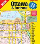
 Ottawa – Gatineau FastTrack
 Vancouver FastTrack
 Atlantic Canada – New Brunswick – Nova Scotia – Prince Edward Island – Newfoundland
 Winnipeg Pocket Street Atlas
 Winnipeg and Area Street Atlas
 Quebec MapArt Street Plan
 Saskatchewan FastTrack
 Ontario Northern FastTrack Map: North Bay – Sudbury – Thunder Bay – Lake of the Woods
 Ottawa and Environs Street Atlas
 Edmonton AB
 Collingwood – Owen Sound
 Quebec City and Environs Street Atlas
 Calgary AB
 Ottawa – Gatineau Pocket Street Atlas
 Vancouver & Area MapArt Street Plan
 Edmonton – Jasper & Environs FastTrack
 Montreal Pocket Street Atlas
 Ontario Western Street Atlas
 Lethbridge – Medicine Hat
 Greater Victoria BC MapArt
Thunder Bay
Burlington – Oakville
Greater Victoria BC MapArt
Thunder Bay
Burlington – Oakville
 Toronto MapArt Street Plan
 Calgary – Banff & Enviros FastTrack
 Calgary Pocket Street Atlas
 Quรฉbec Province FastTrack
 Vancouver Island MapArt Street Atlas