Disclosure : This site contains affiliate links to products. We may receive a commission for purchases made through these links.
Canada East Reise Know-How
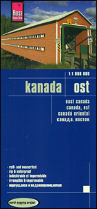
Eastern Canada in a series of three indexed, waterproof and tear-resistant road maps of the country with topographic and tourist information. The maps, published by Reise Know-How as part of their highly acclaimed World Mapping Project, are double-sided to provide the best balance between a good scale and a convenient size sheet. The area is divided east/west, with a good overlap between the two sides. Coverage on the eastern side extends beyond 60ยบ north to include the whole of Labrador province. The western side extends beyond 56ยบ north and includes Belcher Islands in the Hudson Bay, with coverage of Ontario extending to approx. 87ยบ west. In USA Boston and Cape Cod are included.The map has altitude colouring with spot heights and plenty of names of rivers and lakes. Numerous national and provincial parks and other protected areas are highlighted, as well as Indian reservation areas. Road network includes selected minor roads and tracks, with intermediate distances given on main routes. Railway lines, local airfields and ferry connections are also shown. Symbols mark locations of various places of interest including natural sites and UNESCO World Heritage areas, etc. The map has a grid with latitude and longitude at intervals of 2ยบ, plus an index of localities. Map legend includes English. To see the other maps in this series please click on the series link.

Related Products:
 Canada West Reise Know-How
 Canada: Reise Know-How Regional Road Maps
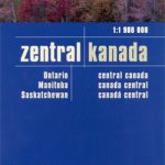 Canada Central: Western Ontario, Manitoba, Saskatchewan Reise-Know-How Map
 India Northeast Reise Know-How
 Canada West NGS Adventure Map 3113
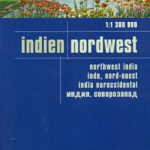 India Northwest Reise Know-How
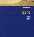 Peru Reise Know-How
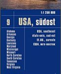 USA Southeast Reise Know-How
 China East – North and South Korea Reise Know-How
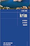 Crimea Reise Know-How
 Argentina Reise Know-How
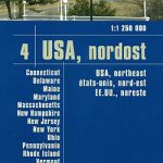 USA North-Eastern: Maine to WashingtoN DC (CT, DE, ME, MD, MA, NH, NJ, NY, OH, PA, RI, VT, WV) Reise-Know-How Map
 Middle East Reise-Know-How Map
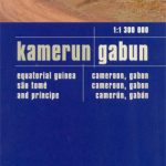 Cameroon & Gabon Reise-Know-How Map
 Cape Region – South Africa Reise Know-How
 Brazil Reise Know-How
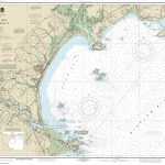
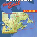 Canada East
 Lebanon – Beirut Reise Know-How
 USA Midwest – IL, IN, IA, MI, MN, MO, WI Reise Know-How
 Iceland East: Vatnajรถkull – Egilsstaรฐir
 Iceland North East: Hรบsavik – Lake Mรฝvatn – Bakkagerรฐi
 Jordan Reise Know-How
 Azerbaijan Reise Know-How
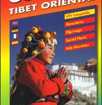 East Tibet Gecko Map
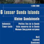 Lesser Sunda Islands – Bali to East Timor Reise Know-How
 Syria – Lebanon Reise Know-How
 Algarve Reise Know-How
 Norway South Reise Know-How
 Guatemala – Belize Reise Know-How
 Australia Eastern Reise Know-How
 Mallorca East Reise Know-How
 USA North – ID, MT, NE, ND, SD, WY Reise Know-How
 Poland Southwest Reise Know-How
 Mexico Reise Know-How
 Vietnam North Reise Know-How
 Alps Reise Know-How
 Northeastern USA – Eastern Canada Michelin Regional 583
 Canada F&B
 Italy North Reise Know-How
 Bosnia-Herzegovina – Montenegro Reise Know-How