Disclosure : This site contains affiliate links to products. We may receive a commission for purchases made through these links.
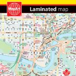
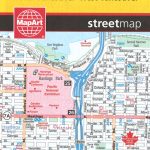
Calgary FastTrack
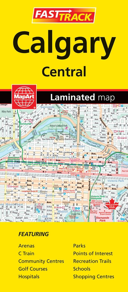
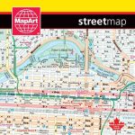
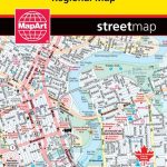
Central districts of Calgary on a double-sided, waterproof and tear-resistant, indexed street plan at 1:28,000. Coverage includes the city’s international airport.Street plans from the MapArt / Canadian Cartographics Corporation / JDM Gรฉo publishing group are usually produced at scales around 1:25,000 to 1:35,000 with smaller towns often shown at more detailed scales. All plans have street indexes. Plans of larges cities usually include an enlargement for the downtown area. Plans grouping together several smaller towns often have an overview map showing the whole of the relevant region. The plans have colouring to indicate commercial, institutional or industrial use, etc. Main traffic arteries are highlighted and one way streets are marked. A range of symbols shows, as appropriate, parking facilities, bus terminals, metro and/or railway stations, various public facilities and services, places of interest, recreational centres, etc. Map legends for cities and towns in the French speaking part of the country are sometimes in French only.To see the list of currently available Canadian street plans and pocket atlases form the MapArt / Canadian Cartographics Corporation / JDM Gรฉo publishing group, please click on the series link.

Related Products:
 Calgary AB
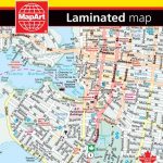
 Winnipeg FastTrack
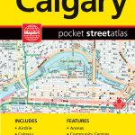 Calgary Pocket Street Atlas
 Montreal FastTrack
 Quebec City FastTrack
 Edmonton – Sherwood Park FastTrack Map
 Victoria FastTrack
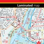
 Ottawa – Gatineau FastTrack
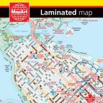 Vancouver FastTrack
 Niagara Region (Canada) FastTrack Map
 Edmonton AB
 Collingwood – Owen Sound
 Lethbridge – Medicine Hat
Thunder Bay
Lethbridge – Medicine Hat
Thunder Bay
 Quebec MapArt Street Plan
Burlington – Oakville
Quebec MapArt Street Plan
Burlington – Oakville
 Vancouver & Area MapArt Street Plan
 St. Catherines
Barrie – Orillia
Oshawa
Peterborough – Lindsay
Sault Ste. Marie
St. Catherines
Barrie – Orillia
Oshawa
Peterborough – Lindsay
Sault Ste. Marie
 Brantford – Stratford – Woodstock
 Saint John – Fredericton NB
Prince George BC
Saint John – Fredericton NB
Prince George BC
 Toronto Pocket Street Atlas
 Kingston ON
 Montreal Pocket Street Atlas
 St. John`s NL
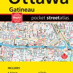 Ottawa – Gatineau Pocket Street Atlas
Sudbury
Ottawa – Gatineau Pocket Street Atlas
Sudbury
 Greater Victoria BC MapArt
Victoriaville
Greater Victoria BC MapArt
Victoriaville
 Toronto MapArt Street Plan
 Winnipeg – Headingley – Selkirk
Saskatoon SK
Okanagan Communities – Kelowna BC
Winnipeg – Headingley – Selkirk
Saskatoon SK
Okanagan Communities – Kelowna BC
 Ottawa MapArt Street Plan
Regina, Moose Jaw, Swift Current & Towns of Southern Saskatchewan
Ottawa MapArt Street Plan
Regina, Moose Jaw, Swift Current & Towns of Southern Saskatchewan
 Halifax – Dartmouth & Area MapArt