Disclosure : This site contains affiliate links to products. We may receive a commission for purchases made through these links.
Calais – Lille Michelin Centenary Map-Pack
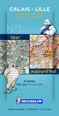
Calais – Lille Michelin Centenary Map-Pack, a set of two maps showing the area at 1:200,000: a current road map from 2014 plus a reproduction from Michelin’s very first series of regional maps published between 1910 and 1924. The combination of the two maps shows not only how this area and its road network have developed but also provides an interesting comparison of the changes in the cartographic presentation over the past 100 years. Coverage includes Boulogne-sur-Mer and Dunkerque and extends north into Belgium to Oostende and Bruges. The 2014 map is indexed and has a map legend in French only.To see the full list of the titles available in this series please click on the series link.


