Disclosure : This site contains affiliate links to products. We may receive a commission for purchases made through these links.
Cajรณn del Maipo – Volcรกn San Josรฉ
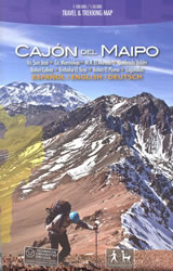
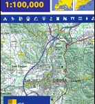
Cajรณn del Maipo – Volcรกn San Josรฉ region of central Chile east of Santiago on a waterproof and tear-resistant map in a series of contoured, GPS compatible trekking and exploration maps at various scales form Trekkingchile. On one side the main map at 1:100,000 covers the region eastwards along the River Maipo from Las Vertientes near its confluence with Rio Colorado to Volcรกn San Josรฉ on the Argentinian border. The map shows the area’s network of roads and local tracks, indicating both unmarked and waymarked hiking trails. An extensive range of icons indicate various tourist facilities and places of interest including several types of accommodation, restaurants and cafes, banks, fuel supplies, recreational areas of climbing, canyoning, rafting, etc. On the reverse the area west of Volcรกn San Josรฉ is shown in greater detail at 1:50,000 with contour lines at 50m. Both the main map and the enlargement have a UTM grid, plus margin ticks for latitude and longitude. The map also includes lovely colour drawings of examples of local fauna.Maps in the Trekkingchile series use satellite imagery as a base, with contour lines and colouring to indicate different types of terrain and habitats. Unless indicated to the contrary in the individual descriptions, the maps have a UTM grid, plus margin ticks for latitude and longitude. The maps are annotated with tourist information and most titles include a street plan of the region’s main town. Many are illustrated with drawings of local fauna or flora. Map legends and other text include English.To see the other titles in this series please click on the series link.

Related Products:
 Melado – Volcรกn San Pedro
 Lake Llanquihue and Surrounding Region
 Santiago Environs
 Condor Circuit
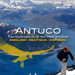 Antuco – Laguna del Laja National Park
 Puyehue
 Volcรกn Villarrica – Lago Caburgua
 Nevados de Chillรกn
 Torres del Paine 50K/100K Trekkingchile Map
 Huilo Huilo Biological Reserve Trekkingchile Map
 Rรญo Los Cipreses National Reserve
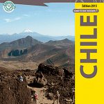
Chile: Trekkingchile Hiking and Exploration Maps
Rรญo Los Cipreses National Reserve
Chile: Trekkingchile Hiking and Exploration Maps
 Pucon – Villarrrica NP – Huerquehue NP
 Costa del Maule
 Laguna del Maule – Winter Trails
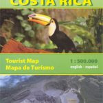 Costa Rica
 Cabo Froward
 Rรญas Baixas CNIG Map
 Adelaide Hills & Barossa SA
 Southern Baja California NGS Adventure Map 3104
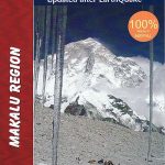 Makalu Region Great Himalay Trail Map
 Amizmiz
 Imilchil
 Kavango Region Tourist Map
 Azilal – M`Goun
 Rich – Midelt
 Agadir – Pays Ida-Outanane
 Ouarzazate
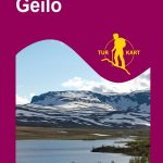 Geilo Nordeca 2515
 Hallingskarvet Nordeca 2517
 Primorska Kartografija Tourist Map
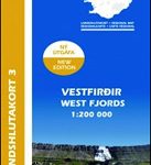 Iceland Western Fjords
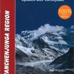 Kanchenjunga Region Great Himalaya Trail Map
 Pla de Lleida
 Posavsko Hribovje Kartografija Tourist Map
 Jotunheimen West Nordeca 2505
 Rondane North Nordeca 2523
Terres de l`Ebre
Camp de Tarragona
Rondane North Nordeca 2523
Terres de l`Ebre
Camp de Tarragona
 Barcelona and Environs