Disclosure : This site contains affiliate links to products. We may receive a commission for purchases made through these links.
C65 Crinan To Mallaig & Barra
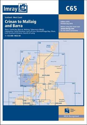
Plans included: Castle Bay (Barra) (1:25,000) Mallaig (1:10,000) Tobermory (Mull) (1:22,500) Caledonian Canal Entrance (1:40,000) Lynn of Lorn (1:40,000) Dunstaffnage Bay (1:20,000) Oban (1:15,000) Loch Feochan Entrance (1:25,000) Sound of Luing (1:30,000) On the 2013 edition of this chart, depths from the latest known surveys have been extensively applied throughout. Where necessary positional accuracy has been improved, and the chart extents have been trimmed for a better fit on the printed sheet.
Related Products:
 C27 Firth of Forth
 C26 Ijmuiden to die Elbe
 C66 Mallaig to Rubha Reidh and Outer Hebrides
 C34 Cap D`Erquy to Ile de Batz
 C36 Ile d`Ouessant to Raz de Sein
 C64 Belfast Lough to Lough Foyle and Crinan
 Y12 Rivers Stour and Orwell
 C53 Donegal to Rathlin
 Admiralty Chart 3983 – Brazil – South Coast Tramandai to Barra do Rio Grande
 E4 Arquipelago de Cabo Verde
 C29 Harwich to Whitby
 C31 Dover Strait to Le Havre
 Y6 Suffolk and Essex Coasts
 C33A Channel Islands
 C8 Dover Strait
 A233 Virgin Islands (Charts A231 and A232 back-to-back without text)
 C5 Bill of Portland to Salcombe Harbour
 Admiralty Chart SC5611_12 – Crinan to Luing and Loch Craignish
 C67 North Minch & Isle of Lewis
 Admiralty Chart 2326 – Loch Crinan to the Firth of Lorn
 C51 Cardigan Bay
 Admiralty Chart 799 – Saint Vincent, Kingstown Harbour and Approaches.
 NOAA Chart 18649 – Entrance to San Francisco Bay
 2130 Westerschelde and Oosterschelde Chart Atlas – 2019 edition
 NOAA Chart 11528 – Charleston Harbor Entrance and Approach
 NOAA Chart 13244 – Eastern Entrance to Nantucket Sound
 NOAA Chart 17400 – Dixon Entrance to Chatham Strait
 NOAA Chart 14847 – Toledo Harbour – Entrance Channel
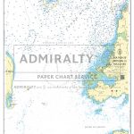 Admiralty Chart SC5616_2 – Sound of Arisaig to Mallaig
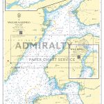 Admiralty Chart SC5616_3 – Mallaig to Glenelg
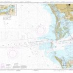 NOAA Chart 11415 – Tampa Bay Entrance – Manatee River Extension
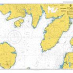 Admiralty Chart 2208 – Mallaig to Canna Harbour
 Imray Chart M24: Golfo di Trieste to Losinj and Rab
 NOAA Chart 17427 – Portland Canal’”Dixon Entrance to Hattie Island
 Instructional Chart 5136 – Entrance to Milford Haven
 Explorer Chartbook Exumas Ragged Islands 9TH ED
 Seaworthy Panama Cruising Guide 2nd Edition
 Admiralty Chart 2770 – Sound of Barra
 NOAA Chart 12235 – Chesapeake Bay’”Rappahannock River Entrance, Piankatank and Great Wicomico Rivers
 Admiralty Chart SC5616_13 – Oigh Sgeir to Barra


