Disclosure : This site contains affiliate links to products. We may receive a commission for purchases made through these links.
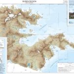
Busen Region – South Georgia BAS
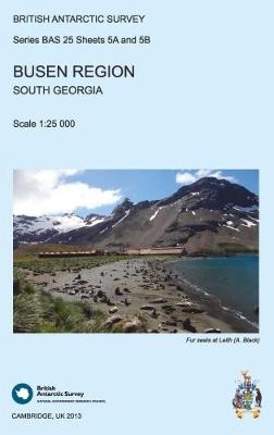
This double-sided map features a topographic map of the Busen Region on side A and local information and photos regarding a number of topics on the reverse. Side A shows contours at 25 m intervals and the locations of ice, rivers and lakes. Man-made features are also shown at the disused whaling stations of Leith, Stromness and Husvik. Side B presents information about topics including The Shackleton Crossing, local climate and geology, and the glacial history and geomorphology.

Related Products:
 Busen Region – South Georgia BAS Wall Map
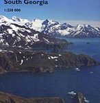
 South Georgia Explorer
 South Georgia – The Shackleton Crossing BAS Wall Map
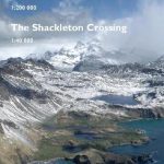 South Georgia – The Shackleton Crossing
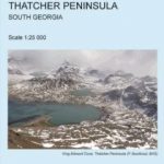 Thatcher Peninsula – South Georgia BAS
 Thatcher Peninsula – South Georgia BAS Wall Map
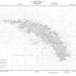
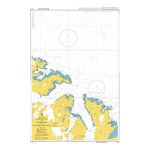 Admiralty Chart 3588 – South Georgia, Approaches to Stromness & Cumberland Bays
 A Field Guide to the Wildlife of South Georgia
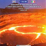
 South Georgia BAS Geological Map 4
 Cape Region – South Africa Reise Know-How
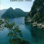 Mount Olympos Region – Eastern Lycia
 Niagara Region (Canada) FastTrack Map
 Kavango Region Tourist Map
 Georgia Geoland Road Map WATERPROOF
South Shetland Islands BAS Wall Map
Georgia Geoland Road Map WATERPROOF
South Shetland Islands BAS Wall Map
 Donetsk Administative Region
Georgia
Donetsk Administative Region
Georgia
 Hong Kong & Region ITMB
 Chile South & Patagonia ITMB
 Vietnam South Reise Know-How
 Africa South & Central ITMB
South Shetland Islands BAS
Africa South & Central ITMB
South Shetland Islands BAS
 Afar Region – Afar (Danakil) Depression
 Georgia: Geoland 200K Regional Travel Maps
 Paraguay – Bolivia South ITMB
 Birds of Chile – Including the Antarctic Peninsula, the Falkland Islands and South Georgia
 NGA Chart 29040 – South Georgia
 South: The Endurance Expedition
 Klodzko Region (2-map set)
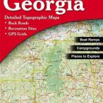 Georgia Recreational Atlas & Gazetteer
 Argentina South & Tierra del Fuego ITMB
 Kiev Administrative Region
Khmelnytskyi Administrative Region
Lviv Administrative Region
Rivne Administrative Region
Vinnytsia Administrative Region
Poltava Administrative Region
Kirovohrad Administrative Region
Chernivtsi Administrative Region
Kiev Administrative Region
Khmelnytskyi Administrative Region
Lviv Administrative Region
Rivne Administrative Region
Vinnytsia Administrative Region
Poltava Administrative Region
Kirovohrad Administrative Region
Chernivtsi Administrative Region