Disclosure : This site contains affiliate links to products. We may receive a commission for purchases made through these links.
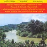
Burundi IGN 85013
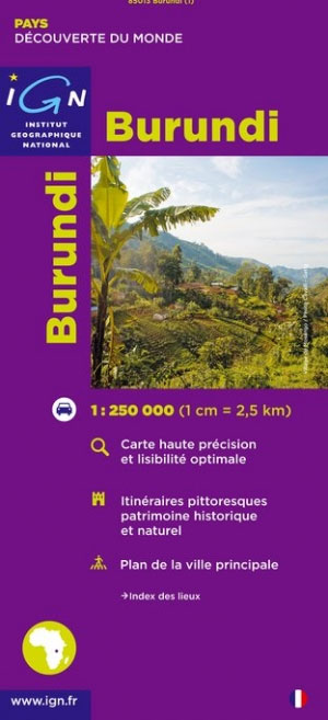
Detailed map of Burundi with small villages and settlements, and a street plan of Bujumbura. Contours at 200m and relief shading indicate the terrain and the map also shows various types of vegetation. Roads are shown with distances and petrol stations, and tracks are also marked. Other information includes national parks ans reserves, hotels and other accommodation, hospitals, various religious establishments, and places of interest. Latitude/longitude lines are drawn at 15` intervals.The map is indexed and includes a street plan of Bujumbura, a distance table, and an administrative diagram. The legend is in French only.


