Disclosure : This site contains affiliate links to products. We may receive a commission for purchases made through these links.
Burkina Faso IGN 85020
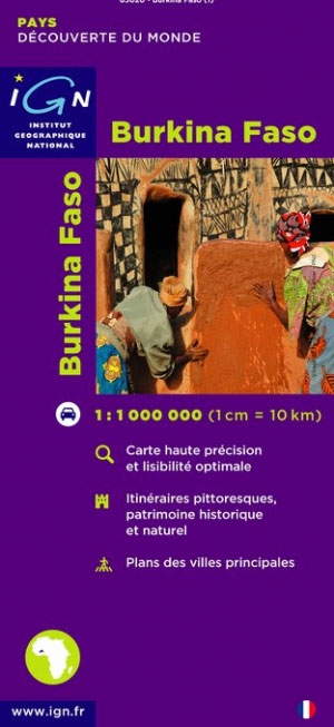
Burkina Faso at 1:1,000,000 on a map from the IGN, French national survey organization, with street plans of Ouagadougou and Dodo-Dioulasso. Roads are classified according to their usability in wet conditions. Distances are shown on most routes and locations of fuel supplies are marked. The map also highlights scenic routes. Railways are shown with stations and local stops and the map indicates airports and aerodromes. Also marked are internal administrative boundaries.Topography of the country is presented by relief shading, with permanent and seasonal rivers, lakes and areas liable to inundation, plus coluring to indicate different types of vegetation. National parks and other protected areas are prominently highlighted.Symbols indicate locations with tourist accommodation, medical facilities, post and telephone, etc. Latitude and longitude at intervals of 1 degree are marked in the margins and indicated by ticks on the map itself. The legend is in French only.Four insets show simple street plans of Ouagadougou and Bobo-Dioulasso, administrative divisions of the country, and the distribution of its ethnic groups.

Related Products:
 Burkina Faso & Niger ITMB
 Burkina Faso: A History of Power, Protest and Revolution
 Burkina Faso Bradt Guide
 Flag of Burkina Faso
 Mali IGN 85008
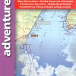
 Malawi Map Studio Adventure Map
 Rwanda & Burundi ITMB
 India South Borch
 Ghana ITMB
 Namibia ITMB
 Thailand, Vietnam, Laos & Cambodia ITMB Travel Atlas
 Botswana Globetrotter Map
 Senegal & Gambia ITMB
 Tanzania ITMB
 Avignon IGN Street Map
 Clermont-Ferrand IGN Street Map
 Middle East F&B
 Botswana F&B
 Namibia Map Studio Adventure Map
 Senegal
 Paraguay – Bolivia South ITMB
 Nice IGN Street Map
 Mali Gizi Map
 Kilimanjaro & Tanzania North ITMB
 Mali Wall Map
Belarus Road Atlas
Mali Wall Map
Belarus Road Atlas
 Northern Yucatan Peninsula NGS Adventure Map 3105
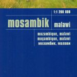 Mozambique – Malawi Reise Know-How
 Devon A-Z Visitors` Map
 Languedoc-Roussillon
 Reims IGN Street Map
Iceland Road Atlas 500K
Reims IGN Street Map
Iceland Road Atlas 500K
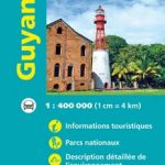 French Guiana Ign Map 84973
 France: IGN Street Plans
 Bolivia ITMB
 Farmington, NM – Durango, CO – Cortez, CO
 Malaysia – Brunei Nelles
 Marseille IGN Street Map
Zambia & Eastern Africa ITMB Road Map
Marseille IGN Street Map
Zambia & Eastern Africa ITMB Road Map